Browse / Ethiopia / Tigray / Korem
Korem
Tigraytown

Korem
Demographic figures from Ethiopian Statistical Service. Overview below cites Wikipedia and may reference a different year.
City facts
Facts from Wikidata (CC0).
Overview
Korem is a town and separate woreda in Tigray, Ethiopia. Located on the eastern edge of the Ethiopian Highlands in the Southern Zone of the Tigray Region, this town has a latitude and longitude of 12°30′N 39°31′E with an elevation of 2539 meters above sea level and is located along Ethiopian Highway 2. Korem is located in the endorheic basin of the Afar Triangle. The streams near Korem do not reach the ocean. Lake Ashenge is located six kilometers to the north of Korem. The town of Korem is surrounded by Wefla woreda.
Read more on WikipediaHistory & geography
History
The telegraph line the Italians constructed between 1902 and 1904 from Asmara south to Addis Ababa passed through the town, and had an office in Korem. Near the town on 9 October 1909, Abraha Araya, governor of Enderta, made a surprise attack at dawn on Dejazmach Abate Bwalu, the new governor of Tigray. Abreha had declared that he would not submit to the Dejazmach. During the Second Italo-Ethiopian War, the Italians are said to have attacked Ethiopian soldiers near the town with shells releasing mustard gas, with instances of Italians using chemical weapons use at Korem recorded for March 16–18, and April 4–7, 1936. More certain are the reports that three planes of Ethiopian Red Cross, sitting on the airstrip at Korem, were destroyed by Italian fighters. Minister of War Ras Abebe Aregai, made Korem his headquarters during the Woyane rebellion. The main road northwards was finally cleared on 6 October. Korem was the location of one of the early refugee camps of the 1983–1985 famine in Ethiopia, housing 35,500 children in April 1983. On 21 April, the TPLF raided the town, seizing humanitarian supplies and taking seven relief workers hostage, who included two British citizens from the Save the Children Fund. The hostages were released unharmed seven weeks later near the Sudan border, but Save the Children suspended operations in Korem until September of that year. From July 1983 up to March 1984 the monthly death toll in the Korem camp stayed under 100; then it shot up until October 1984, when the daily death toll topped 100 a day. What food aid there was in Korem in October 1984 was from the European Commission. Along with the camp at Atsbi, conditions in Korem were shown on BBC television on 23 and 24 October. UN Secretary-General Javier Pérez de Cuéllar and his wife…
Excerpted from the corresponding Wikipedia article (CC BY-SA).
Geography
Coordinates & boundaries from the US Census TIGER/Line shapefiles.
Climate
Air quality
Walkability
Amenities nearby
Wildlife & biodiversity
Earthquake history
Most recent
- M 4.3 — 2025-09-0291 km ESE of Maych’ew, Ethiopia
- M 4.2 — 2025-07-2177 km ENE of Maych’ew, Ethiopia
- M 4.4 — 2024-07-0638 km S of Robīt, Ethiopia
- M 4.7 — 2005-09-2888 km NW of Semera, Ethiopia
- M 4.1 — 2005-09-2792 km NW of Semera, Ethiopia
- M 4.5 — 2005-09-2783 km ENE of Rob?t, Ethiopia
Events from the USGS Earthquake Catalog (global) (FDSN Event Web Service).
Photos
Sights & places nearby
Notable people from here
Nearby places in Tigray
Geography & sun
Elevation, sunrise/sunset and daylight from Open-Meteo. Solar climatology from NASA POWER.
Nearby airports
Public attention
Pageview totals from the Wikimedia Pageviews API.
Books about this place
Recent natural events nearby
Ground air-quality sensors
Recently spotted species
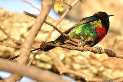
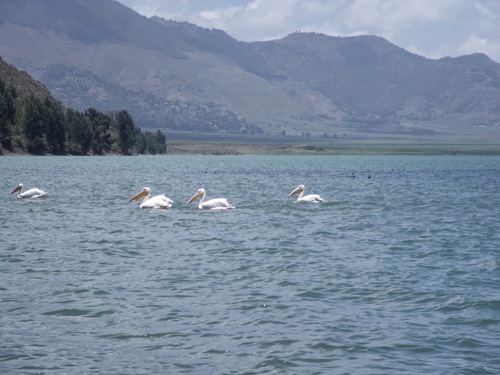
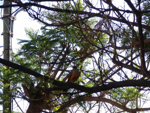
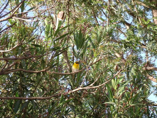
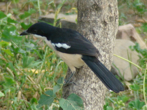
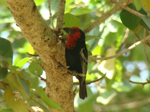
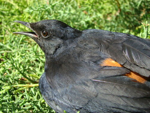
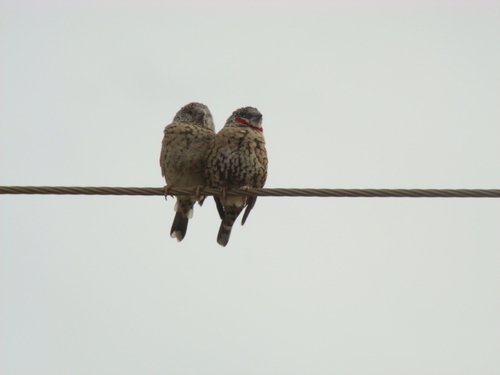
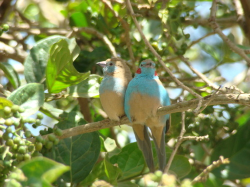
Research-grade observations from iNaturalist (within ~15 mi).
Events
Gallery
Sources
- • Wikipedia
- • Wikidata
- • USGS Earthquake Catalog (global feed)
- • GBIF (Global Biodiversity Information Facility)
- • iNaturalist
- • Open-Meteo / sunrise-sunset.org
- • Wikipedia Pageviews API