Browse / Ethiopia / Amhara / Mehal Meda
Mehal Meda
Amharatown
No image yet
Coordinates10.31°, 39.66°
Demographic figures from Ethiopian Statistical Service. Overview below cites Wikipedia and may reference a different year.
Loading additional data from public sources…0 / 11
CensusWikipediaWeatherPlacesPeopleEnvironmentHealth & SchoolsRelatedGeography & CultureLive MonitoringEvents & Gallery
0% completeCity facts
Overview
Mehal Meda is a town in Ethiopia situated in the Semien Shewa Zone of the Amhara Region. It has a geographical coordinates of 10° 18' 0" North, 39° 40' 0" East, with an altitude of 3132 m above sea level. The town is located 150 km north of Debre Berhan and 224 mi northeast of the capital Addis Ababa.
Read more on WikipediaHistory & geography
Geography
Latitude
10.3122
Longitude
39.6580
Water area
—
Coordinates & boundaries from the US Census TIGER/Line shapefiles.
Climate
Air quality
Walkability
Amenities nearby
Wildlife & biodiversity
Earthquake history
Photos
Sights & places nearby
Notable people from here
Nearby places in Amhara
- Kulmersk116.2 mi away
- Santa Rita da Valeria6663.5 mi away
- Nhamundá6678.4 mi away · pop. 20,136
- Bom Socorro6678.5 mi away
- Vila Amazônia6679.9 mi away
- Espírito Santo6683.4 mi away
- Cutipanã6685.7 mi away
- Benedito6686 mi away
- Santo Antônio do Tracajá6687 mi away
- Santa Maria do Mamoriacá6692.1 mi away
- Marajó6692.6 mi away
- Vila Santa Maria6699.6 mi away
Geography & sun
Avg solar (kWh/m²/day)
5.97
Annual solar (kWh/m²)
2,181
Elevation, sunrise/sunset and daylight from Open-Meteo. Solar climatology from NASA POWER.
Nearby airports
Public attention
Wikipedia views (last 30 days)
55
Avg daily Wikipedia views
2
Attention level
Obscure
Pageview totals from the Wikimedia Pageviews API.
Books about this place
Recent natural events nearby
Ground air-quality sensors
Recently spotted species
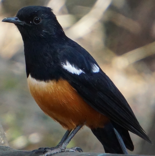
Mocking Cliff-Chat
Thamnolaea cinnamomeiventris
Seen 2020-11-14
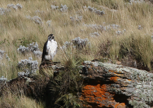
Augur Buzzard
Buteo augur
Seen 2018-11-13
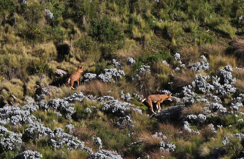
Ethiopian Wolf
Canis simensis
Seen 2018-11-13
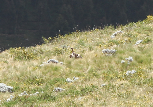
Rüppell's Griffon
Gyps rueppelli
Seen 2018-11-12
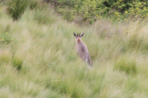
Bush Duiker
Sylvicapra grimmia
Seen 2018-11-12
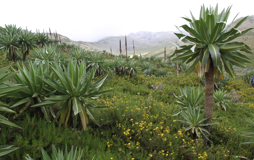
giant lobelia
Lobelia rhynchopetalum
Seen 2018-11-12
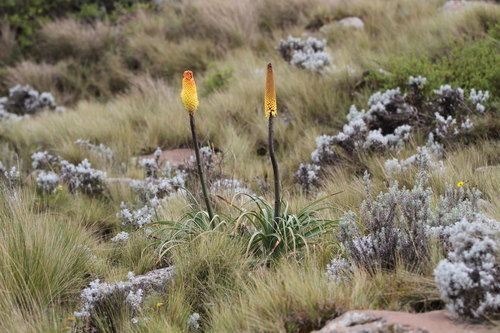
Ethiopian red hot poker
Kniphofia foliosa
Seen 2018-11-12
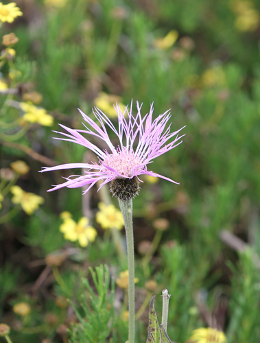
Plectocephalus varians
Plectocephalus varians
Seen 2018-11-12
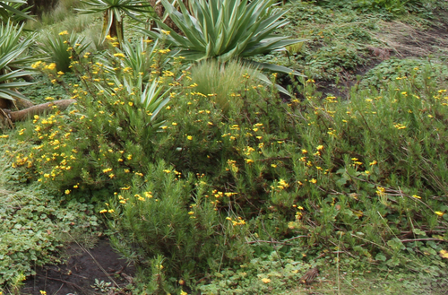
Euryops pinifolius
Euryops pinifolius
Seen 2018-11-12
Research-grade observations from iNaturalist (within ~15 mi).
Events
Gallery
Sources
- • Wikipedia
- • Wikidata
- • iNaturalist
- • Open-Meteo / sunrise-sunset.org
- • Wikipedia Pageviews API