Browse / Ethiopia / Tigray / Mek'elē
Mek'elē
Tigraycity

Mek'elē
Total population
185,207
Demographic figures from Ethiopian Statistical Service. Overview below cites Wikipedia and may reference a different year.
City facts
Facts from Wikidata (CC0).
Overview
Mekelle, or Mek'ele, is a special zone and capital of the Tigray Region of Ethiopia. Mekelle was formerly the capital of Enderta awraja in Tigray. It is located around 780 kilometres (480 mi) north of the Ethiopian capital Addis Ababa, with an elevation of 2,254 metres (7,395 ft) above sea level. Administratively, Mekelle is considered a Special Zone, which is divided into seven sub-cities. It is the economic, cultural, and political hub of northern Ethiopia.
Read more on WikipediaHistory & geography
History
Mekelle is believed to have evolved from a 13th-century hamlet called Enda Meseqel (later Enda Medhane Alem), becoming a town by the early 19th century, when ras Wolde Selassie of Enderta made Antalo his seat of power, and the region of Mekelle ( to the north) his recreational center. In the tax records of atse Tewodros II, Mekelle appears as a tributary district within Enderta with a negarit of its own. The credit for Mekelle's growth into a regional capital goes to atse Yohannes IV who made Mekelle political capital of his expanding state. He must have chosen the place for its strategic proximity both to rich agricultural areas (of Raya Azebo) and to the Afar salt country. Mekelle's position on the route to Shewa, the power base of Yohannes's main rival Menelik could have been another factor. Three institutions still important for modern Mekelle were founded by Yohannes. The grand palace built in 1882–84 by the Italian architect Giacomo Naretti forms the historic center of Mekelle. The large market Edaga Senuy ("Monday Market"). The church, at Debre Gennet Medhane Alem, built after the return from Raya Azebo campaign in 1871. In the 1880s, Mekelle became Ethiopia's capital city. Among the factors that further accelerated Mekele's growth and urbanization were the establishment of residential quarters by the "nobility" and court servants, the prominence of the amole salt market and the subsequent establishment of local and foreign trading and occupational communities, and Mekelle's strategic position as a transit center for commodities of the long-distance trade routes of northeastern Ethiopia, attached to the Red Sea ports, and to northern and central Ethiopia. By establishing a market in Mekelle, Yohannes could draw on the northern trade routes as well as the salt…
Geography
Mekelle lies at an elevation of above sea level (at the airport), close to the edge of the northern portion of the Ethiopian Rift Valley, on a Jurassic limestone plateau, in a semi-arid area with a mean annual rainfall of . Except for a moderately dense eucalyptus cover on the hills in eastern edges of Mekelle and some exotic species of trees and shrubs lining the streets, the surrounding landscape is almost treeless.
Excerpted from the corresponding Wikipedia article (CC BY-SA).
Geography
Coordinates & boundaries from the US Census TIGER/Line shapefiles.
Climate
Air quality
Walkability
Amenities nearby
Wildlife & biodiversity
Earthquake history
Photos
Sights & places nearby
Notable people from here
Nearby places in Tigray
Geography & sun
Elevation, sunrise/sunset and daylight from Open-Meteo. Solar climatology from NASA POWER.
Nearby airports
Public attention
Pageview totals from the Wikimedia Pageviews API.
Books about Mek'elē
Search results from Open Library.
Recent natural events nearby
Ground air-quality sensors
Recently spotted species
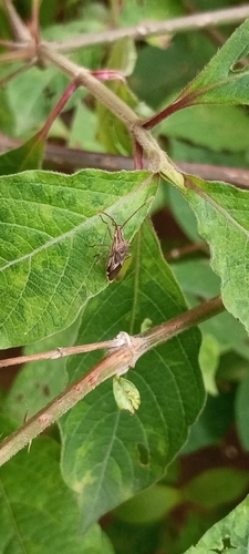

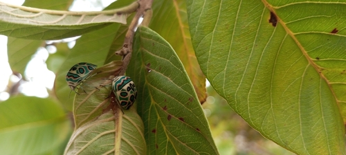
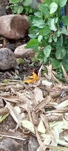
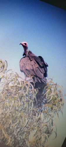
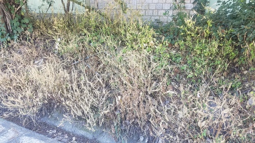
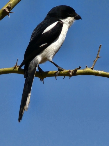
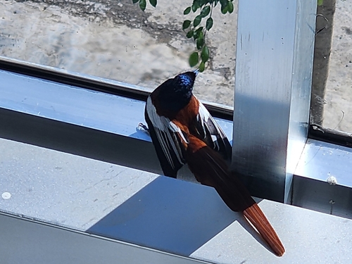
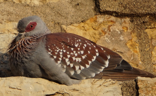
Research-grade observations from iNaturalist (within ~15 mi).
Events
Gallery
Sources
- • Wikipedia
- • Wikidata
- • iNaturalist
- • Open-Meteo / sunrise-sunset.org
- • Wikipedia Pageviews API
- • Open Library