Browse / Ethiopia / South West Ethiopia / Mizan Aman
Mizan Aman
South West Ethiopiatown

Mizan Aman
Demographic figures from Ethiopian Statistical Service. Overview below cites Wikipedia and may reference a different year.
City facts
Overview
Mizan Teferi is the largest town in South West Ethiopia Peoples' Region and one of four Capital cities of the region. Mizan is also the administrative centre, of the Bench Sheko Zone in the South West Ethiopia Peoples' Region of Ethiopia. Located about 160 kilometers southwest of Jimma, Mizan Tefere has a latitude and longitude of 7°0′N 35°35′E and an elevation of 1451 meters. Mizan Teferi, together with the neighbouring town of Aman, forms a separate woreda called Mizan Aman. This is surrounded by Debub Bench woreda.
Read more on WikipediaHistory & geography
Geography
Coordinates & boundaries from the US Census TIGER/Line shapefiles.
Climate
Air quality
Walkability
Amenities nearby
Wildlife & biodiversity
Most-observed species
- Hooded VultureNecrosyrtes monachus (Temminck, 1823) · Aves1
- spiral-gingerCostus afer Ker Gawl. · Liliopsida1
- Oceanblue MorninggloryIpomoea indica (Burm.) Merr. · Magnoliopsida1
- False HeatherCuphea hyssopifolia Kunth · Magnoliopsida1
- Custard AppleAnnona reticulata L. · Magnoliopsida1
- Coffea neoleroyi A.P.DavisCoffea neoleroyi A.P.Davis · Magnoliopsida1
Citizen-science & research observations from the Global Biodiversity Information Facility (GBIF).
Earthquake history
Events from the USGS Earthquake Catalog (global) (FDSN Event Web Service).
Photos
Sights & places nearby
Notable people from here
Geography & sun
Elevation, sunrise/sunset and daylight from Open-Meteo. Solar climatology from NASA POWER.
Nearby airports
Public attention
Pageview totals from the Wikimedia Pageviews API.
Books about this place
Recent natural events nearby
Ground air-quality sensors
Recently spotted species
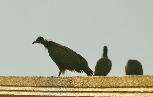
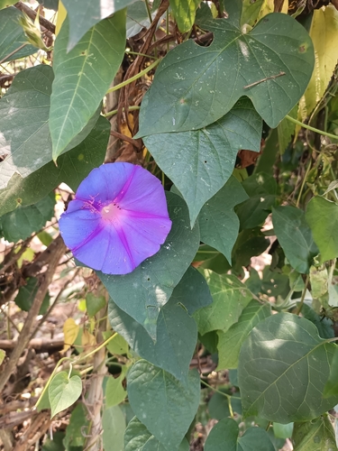

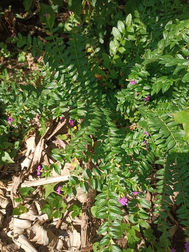
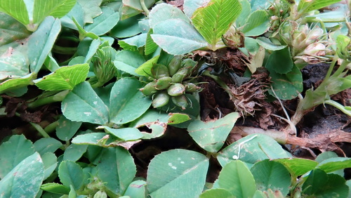
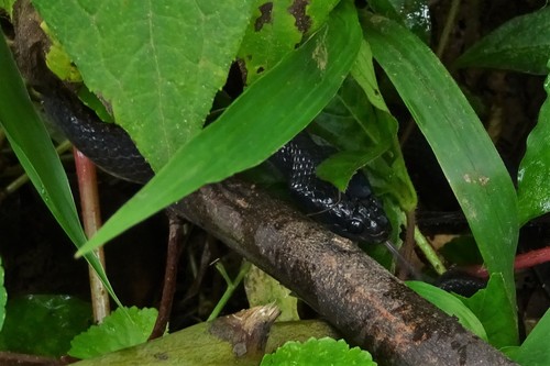
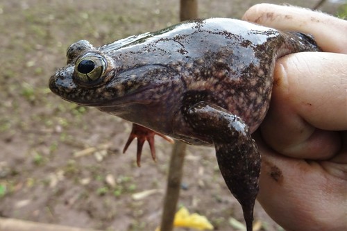
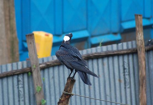
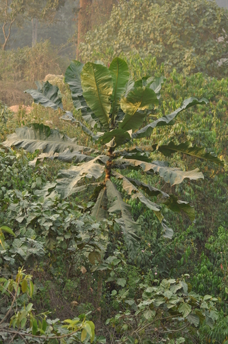
Research-grade observations from iNaturalist (within ~15 mi).
Events
Gallery
Sources
- • Wikipedia
- • USGS Earthquake Catalog (global feed)
- • GBIF (Global Biodiversity Information Facility)
- • iNaturalist
- • Open-Meteo / sunrise-sunset.org
- • Wikipedia Pageviews API