Browse / Ethiopia / Amhara / Molale
Molale
Amharatown
Total population
93,800
Air quality index
Demographic figures from Ethiopian Statistical Service. Overview below cites Wikipedia and may reference a different year.
City facts
Overview
Molale sits in Amhara, Ethiopia and is identified as a sizeable town. Molale maps to 10.119°, 39.661° — squarely within the tropical belt. Around 93,800 people are recorded as living there in the most recent open data. Climatically, locations at this latitude tend to experience warm temperatures throughout the year with pronounced wet and dry seasons. Open solar datasets indicate about 2,181 kWh/m² of solar irradiance per year, combined with sunshine for roughly 85% of daylight hours. Additional figures on demographics, climate, geography and points of interest appear in the sections that follow, all drawn from open public datasets.
Summary composed automatically from structured open data on this page. See our Terms for details.
History & geography
Geography
Coordinates & boundaries from the US Census TIGER/Line shapefiles.
Climate
Air quality
Current readings from Open-Meteo Air Quality API (Copernicus CAMS European reanalysis).
Walkability
Amenities nearby
Wildlife & biodiversity
Earthquake history
Most recent
- M 4.4 — 2026-04-2134 km SE of Debre Birhan, Ethiopia
- M 4.9 — 2025-10-2626 km S of Debre Sīna, Ethiopia
- M 4.6 — 2025-08-0847 km N of Āwash, Ethiopia
- M 4.3 — 2025-03-3153 km N of Āwash, Ethiopia
- M 4.2 — 2025-03-1647 km SSE of Debre Sīna, Ethiopia
- M 5.4 — 2025-03-1644 km NNW of Āwash, Ethiopia
Events from the USGS Earthquake Catalog (global) (FDSN Event Web Service).
Photos
Sights & places nearby
Notable people from here
Nearby places in Amhara
- Terra Preta6663.3 mi away
- Santa Rita da Valeria6663.4 mi away
- Boca de Valéria6663.7 mi away
- Colônia Boa Esperança6677.4 mi away
- Nhamundá6678.3 mi away · pop. 20,136
- Bom Socorro6678.3 mi away
- Vila Amazônia6679.7 mi away
- Vila China6680.4 mi away
- Espírito Santo6683.2 mi away
- Cutipanã6685.6 mi away
- Benedito6685.9 mi away
- Santo Antônio do Tracajá6686.8 mi away
Geography & sun
Elevation, sunrise/sunset and daylight from Open-Meteo. Solar climatology from NASA POWER.
Nearby airports
Public attention
Books about this place
Recent natural events nearby
Ground air-quality sensors
Recently spotted species
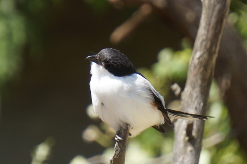
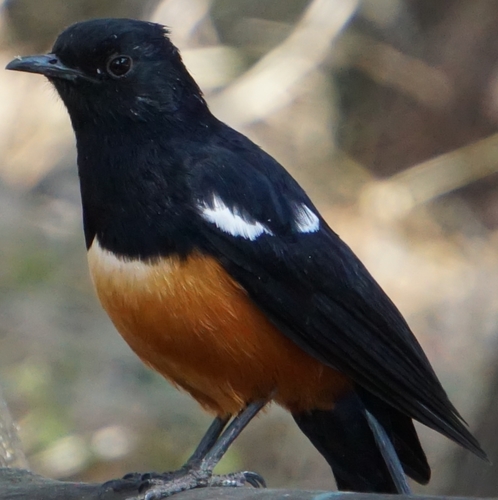
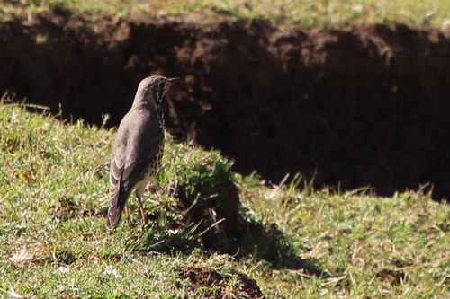
Research-grade observations from iNaturalist (within ~15 mi).
Events
Gallery
Sources
- • Wikidata
- • Open-Meteo Air Quality (CAMS)
- • USGS Earthquake Catalog (global feed)
- • GBIF (Global Biodiversity Information Facility)
- • iNaturalist
- • Open-Meteo / sunrise-sunset.org