Browse / Ethiopia / Amhara / Nakutolab
Nakutolab
Amharavillage
Air quality index
Demographic figures from Ethiopian Statistical Service. Overview below cites Wikipedia and may reference a different year.
City facts
Overview
Within Amhara, Ethiopia, Nakutolab stands as a village. Its coordinates of 12.001°, 39.059° place it in the tropical zone of the northern hemisphere. Detailed population figures are not currently catalogued in the open data sources we track. Based on its tropical position, residents likely encounter warm temperatures throughout the year with pronounced wet and dry seasons. Further detail — demographics, climate, nearby amenities and natural-hazard data — is compiled below from public open-data sources.
Summary composed automatically from structured open data on this page. See our Terms for details.
History & geography
Geography
Coordinates & boundaries from the US Census TIGER/Line shapefiles.
Climate
Air quality
Current readings from Open-Meteo Air Quality API (Copernicus CAMS European reanalysis).
Walkability
Amenities nearby
Wildlife & biodiversity
Most-observed species
- Fan-tailed RavenCorvus rhipidurus Hartert, 1918 · Aves79
- Brown-rumped SeedeaterCrithagra tristriata (Rüppell, 1840) · Aves67
- Laughing DoveSpilopelia senegalensis (Linnaeus, 1766) · Aves60
- Red-cheeked CordonbleuUraeginthus bengalus (Linnaeus, 1766) · Aves57
- Baglafecht WeaverPloceus baglafecht (Daudin, 1802) · Aves55
- White-billed StarlingOnychognathus albirostris (Rüppell, 1836) · Aves53
- Dusky Turtle-DoveStreptopelia lugens (Rüppell, 1837) · Aves47
- Northern FiscalLanius humeralis Stanley, 1814 · Aves46
Citizen-science & research observations from the Global Biodiversity Information Facility (GBIF).
Earthquake history
Most recent
- M 4.4 — 2024-07-0638 km S of Robīt, Ethiopia
- M 5.1 — 2002-12-0131 km NNE of Rob?t, Ethiopia
Events from the USGS Earthquake Catalog (global) (FDSN Event Web Service).
Photos
Sights & places nearby
Notable people from here
People born within ~10 km, from Wikidata (CC0). Click any name for their Wikipedia article.
Geography & sun
Nearby airports
Public attention
Books about this place
Recent natural events nearby
Ground air-quality sensors
Recently spotted species
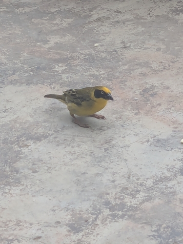
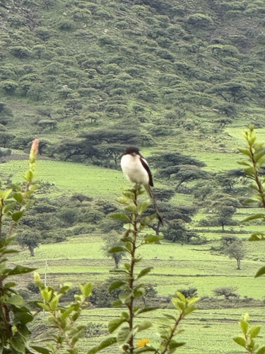
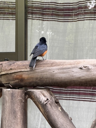
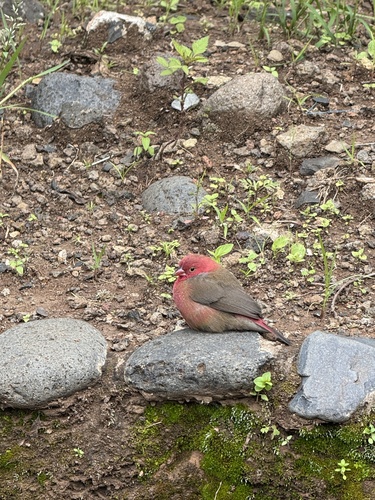
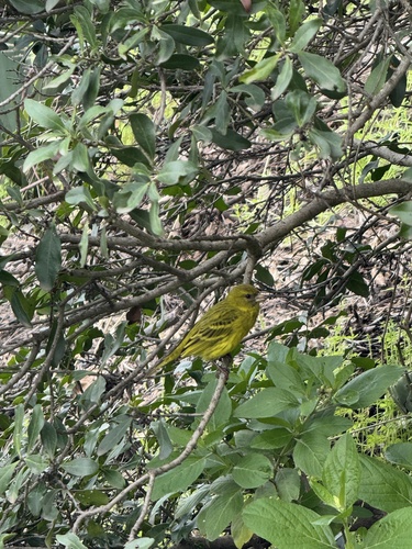
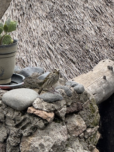
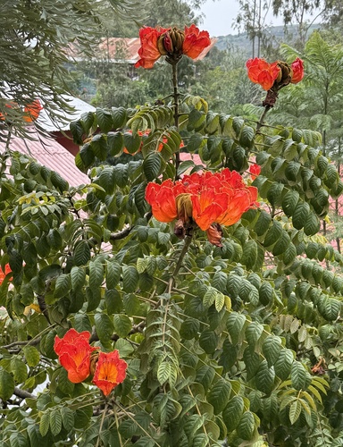
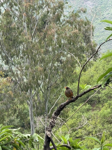
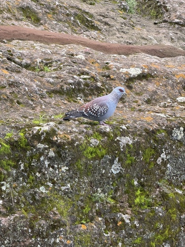
Research-grade observations from iNaturalist (within ~15 mi).
Events
Gallery
Sources
- • Wikidata
- • Open-Meteo Air Quality (CAMS)
- • USGS Earthquake Catalog (global feed)
- • GBIF (Global Biodiversity Information Facility)
- • iNaturalist