Browse / Ethiopia / South West Ethiopia / Oma Atara
Oma Atara
South West Ethiopiavillage
Demographic figures from Ethiopian Statistical Service. Overview below cites Wikipedia and may reference a different year.
City facts
Overview
Within South West Ethiopia, Ethiopia, Oma Atara stands as a village. Oma Atara maps to 7.138°, 36.565° — squarely within the equatorial belt. Up-to-date population figures for this locality are not available in the open datasets we monitor. Open solar datasets indicate about 1,954 kWh/m² of solar irradiance per year, combined with sunshine for roughly 76% of daylight hours. Based on its equatorial position, residents likely encounter hot and humid year-round with little seasonal temperature variation. Further detail — demographics, climate, nearby amenities and natural-hazard data — is compiled below from public open-data sources.
Summary composed automatically from structured open data on this page. See our Terms for details.
History & geography
Geography
Coordinates & boundaries from the US Census TIGER/Line shapefiles.
Climate
Air quality
Walkability
Amenities nearby
Wildlife & biodiversity
Most-observed species
- Maesa lanceolata Forssk.Maesa lanceolata Forssk. · Magnoliopsida87
- Pavetta oliveriana HiernPavetta oliveriana Hiern · Magnoliopsida46
- African HollyIlex mitis (L.) Radlk. · Magnoliopsida43
- Astropanax abyssinicum (Hochst. ex A.Rich.) Seem.Astropanax abyssinicum (Hochst. ex A.Rich.) Seem. · Magnoliopsida36
- Rothmannia urcelliformis (Hiern) Bullock ex RobynsRothmannia urcelliformis (Hiern) Bullock ex Robyns · Magnoliopsida34
- Allophylus abyssinicus (Hochst.) Radlk.Allophylus abyssinicus (Hochst.) Radlk. · Magnoliopsida32
- Astropanax volkensii (Harms) Lowry, G.M.Plunkett, Gostel & FrodinAstropanax volkensii (Harms) Lowry, G.M.Plunkett, Gostel & Frodin · Magnoliopsida23
- Jumpingbean-TreeShirakiopsis elliptica (Hochst.) Esser · Magnoliopsida15
Citizen-science & research observations from the Global Biodiversity Information Facility (GBIF).
Earthquake history
Events from the USGS Earthquake Catalog (global) (FDSN Event Web Service).
Photos
Sights & places nearby
Notable people from here
Nearby places in South West Ethiopia
Geography & sun
Elevation, sunrise/sunset and daylight from Open-Meteo. Solar climatology from NASA POWER.
Nearby airports
Public attention
Books about this place
Recent natural events nearby
Ground air-quality sensors
Recently spotted species
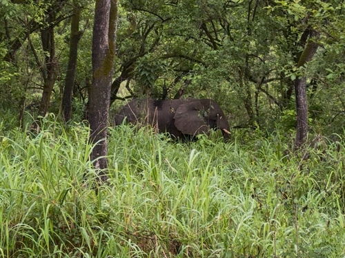
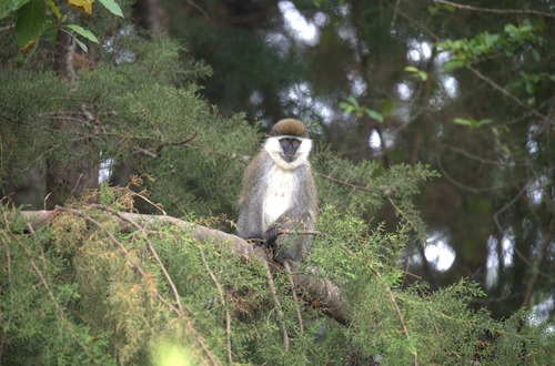
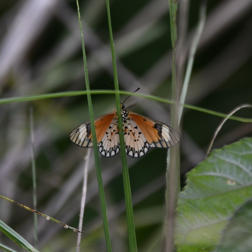
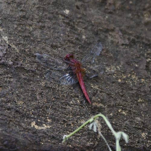
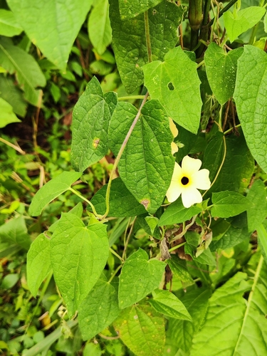
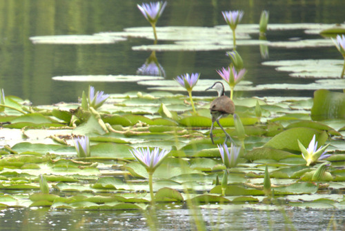
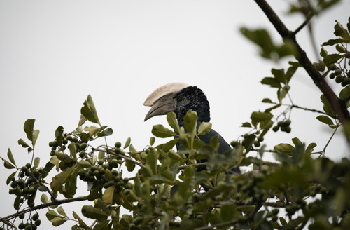
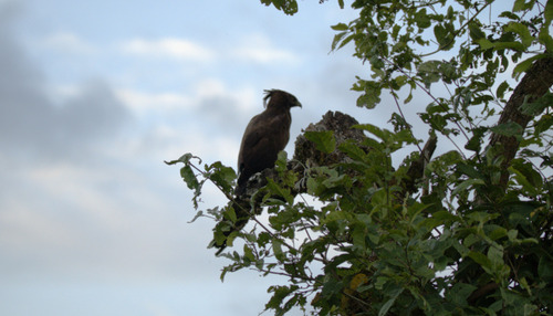
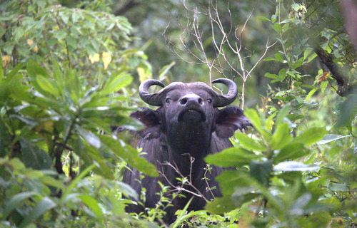
Research-grade observations from iNaturalist (within ~15 mi).
Events
Gallery
Sources
- • Wikidata
- • USGS Earthquake Catalog (global feed)
- • GBIF (Global Biodiversity Information Facility)
- • iNaturalist
- • Open-Meteo / sunrise-sunset.org