Browse / Ethiopia / South West Ethiopia / Tepi
Tepi
South West Ethiopiatown
Demographic figures from Ethiopian Statistical Service. Overview below cites Wikipedia and may reference a different year.
City facts
Facts from Wikidata (CC0).
Overview
Tepi is a town in southern Ethiopia. The vowels in the name are pronounced as in the English words tape and pea. Located in the Sheka Zone of the South West Ethiopia Region, this town has a latitude and longitude of 7°12′N 35°27′E with a mean elevation of 1,097 meters above sea level. The town is said to be named after a Majangir man who once had a bee hive in the large tree that stood in the marketplace.
Read more on WikipediaHistory & geography
History
People report that there had been a small Italian military presence there during World War II. The countryside around Tepi has long been multiethnic, including significant numbers of Majangir, Shekkacho, Sheko, Kafficho, and Oromo. Most of the city's residents (or their parents) are from other parts of Ethiopia, adding even more ethnic groups to the mix. In the 1980s, because of famine, many people from other provinces were resettled nearby. These acts have led to conflicts under ethnic federalism, since no ethnic group comprises a majority. There has been occasional armed conflict in the area since 1991, involving people from the surrounding area dividing along ethnic lines. One campus of the Mizan - Tepi University is located in Tepi.
Excerpted from the corresponding Wikipedia article (CC BY-SA).
Geography
Coordinates & boundaries from the US Census TIGER/Line shapefiles.
Climate
Air quality
Walkability
Amenities nearby
Wildlife & biodiversity
Most-observed species
- Fragrant DracaenaDracaena fragrans (L.) Ker Gawl. · Liliopsida2
- Common TurmericCurcuma longa L. · Liliopsida1
- Woolly SennaSenna hirsuta (L.) H.S.Irwin & Barneby · Magnoliopsida1
- Monkeypod, Manila tamarind, Madras thorn, Sweet inga, BlackbeadPithecellobium dulce (Roxb.) Benth. · Magnoliopsida1
- Black PepperPiper nigrum L. · Magnoliopsida1
- Cucumis sacleuxii Paill. & BoisCucumis sacleuxii Paill. & Bois · Magnoliopsida1
- Justicia schimperiana (Hochst. ex Nees) T.AndersonJusticia schimperiana (Hochst. ex Nees) T.Anderson · Magnoliopsida1
- waterbuckKobus ellipsiprymnus (Ogilby, 1833) · Mammalia1
Citizen-science & research observations from the Global Biodiversity Information Facility (GBIF).
Earthquake history
Events from the USGS Earthquake Catalog (global) (FDSN Event Web Service).
Photos
Sights & places nearby
Notable people from here
Nearby places in South West Ethiopia
Geography & sun
Elevation, sunrise/sunset and daylight from Open-Meteo. Solar climatology from NASA POWER.
Nearby airports
Public attention
Pageview totals from the Wikimedia Pageviews API.
Books about this place
Recent natural events nearby
Ground air-quality sensors
Recently spotted species
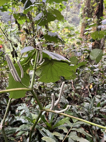
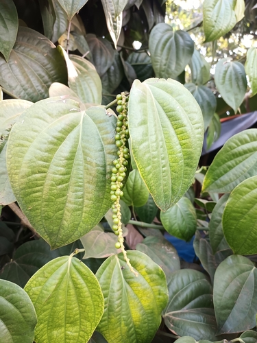
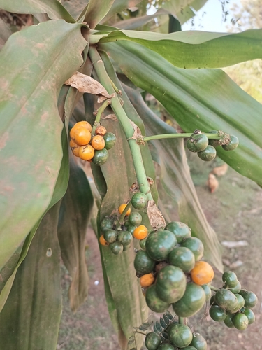
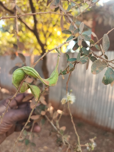
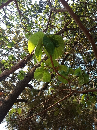
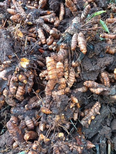
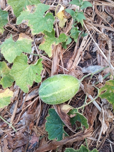
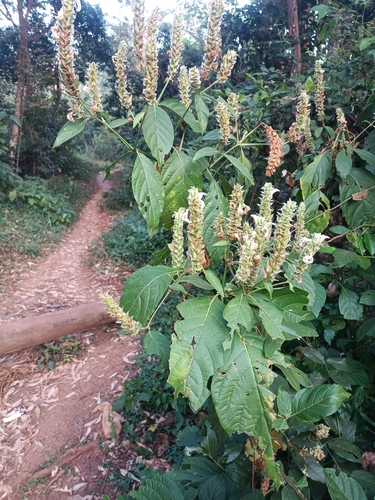
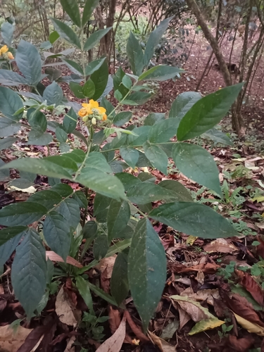
Research-grade observations from iNaturalist (within ~15 mi).
Events
Gallery
Sources
- • Wikipedia
- • Wikidata
- • USGS Earthquake Catalog (global feed)
- • GBIF (Global Biodiversity Information Facility)
- • iNaturalist
- • Open-Meteo / sunrise-sunset.org
- • Wikipedia Pageviews API