Browse / Ethiopia / Tigray / Uokar Duba
Uokar Duba
Tigrayvillage
Air quality index
Demographic figures from Ethiopian Statistical Service. Overview below cites Wikipedia and may reference a different year.
City facts
Overview
Uokar Duba sits in Tigray, Ethiopia and is identified as a village. The settlement sits at 14.086°, 38.288°, a tropical location in the northern hemisphere. Up-to-date population figures for this locality are not available in the open datasets we monitor. Climatically, locations at this latitude tend to experience warm temperatures throughout the year with pronounced wet and dry seasons. Open solar datasets indicate about 2,259 kWh/m² of solar irradiance per year, combined with sunshine for roughly 88% of daylight hours. Read on for charts and tables covering demographics, climate, hazards, schools, wildlife and other open-data indicators for Uokar Duba.
Summary composed automatically from structured open data on this page. See our Terms for details.
History & geography
Geography
Coordinates & boundaries from the US Census TIGER/Line shapefiles.
Climate
Air quality
Current readings from Open-Meteo Air Quality API (Copernicus CAMS European reanalysis).
Walkability
Amenities nearby
Wildlife & biodiversity
Most-observed species
- Black-winged LovebirdAgapornis taranta (Stanley, 1814) · Aves3
- Santa-Maria, Santa Maria feverfew, Whitetop weed, Famine weed, Carrot grass, Congress grass, Wild Carrot Weed, Parthenium weed, Ragweed parthenium, Bitter-broom, Bitterweed, False camomile, False ragweed, Ragweed, Barley flower, Bastard feverfew, Broomweed, Mugwort, Whiteheads, WormwoodParthenium hysterophorus L. · Magnoliopsida3
- Big-headed Large Carpenter BeeXylocopa inconstans Smith, 1874 · Insecta2
- Common BulbulPycnonotus barbatus (Desfontaines, 1789) · Aves2
- Red-cheeked CordonbleuUraeginthus bengalus (Linnaeus, 1766) · Aves2
- Tree TobaccoNicotiana glauca Graham · Magnoliopsida2
- WithaniaWithania somnifera (L.) Dunal · Magnoliopsida2
- Black KiteMilvus migrans (Boddaert, 1783) · Aves2
Citizen-science & research observations from the Global Biodiversity Information Facility (GBIF).
Earthquake history
Events from the USGS Earthquake Catalog (global) (FDSN Event Web Service).
Photos
Sights & places nearby
Notable people from here


People born within ~10 km, from Wikidata (CC0). Click any name for their Wikipedia article.
Nearby places in Tigray
Geography & sun
Elevation, sunrise/sunset and daylight from Open-Meteo. Solar climatology from NASA POWER.
Nearby airports
Public attention
Books about this place
Recent natural events nearby
Ground air-quality sensors
Recently spotted species
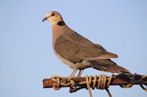
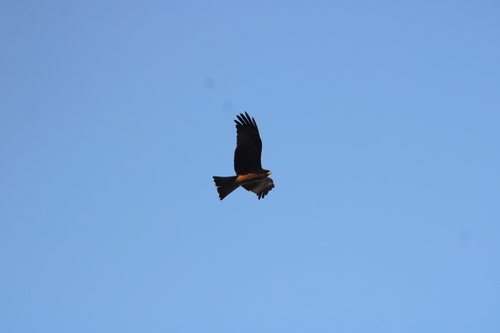
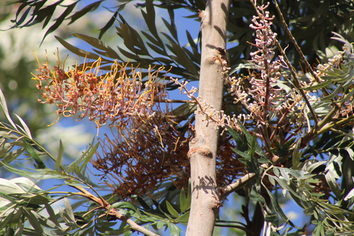
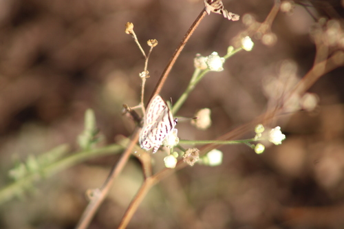
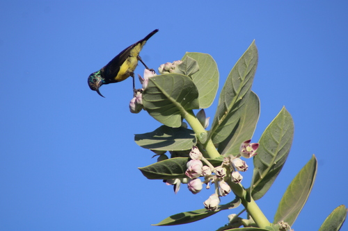
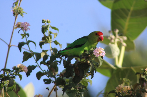
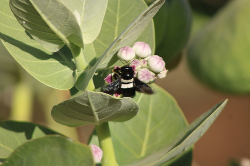
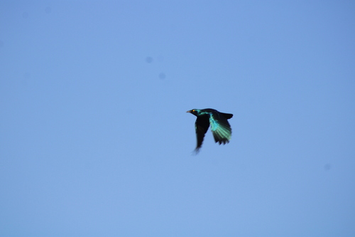
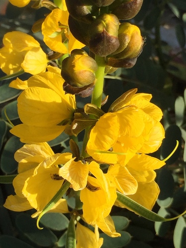
Research-grade observations from iNaturalist (within ~15 mi).
Events
Gallery
Sources
- • Wikidata
- • Open-Meteo Air Quality (CAMS)
- • USGS Earthquake Catalog (global feed)
- • GBIF (Global Biodiversity Information Facility)
- • iNaturalist
- • Open-Meteo / sunrise-sunset.org