Browse / Ethiopia / SNNPR / Wolaita Sodo
Wolaita Sodo
SNNPRcity

Wolaita Sodo
Total population
512,498
Demographic figures from Ethiopian Statistical Service. Overview below cites Wikipedia and may reference a different year.
City facts
Sister cities
Facts from Wikidata (CC0).
Overview
Sodo or officially Wolaita Sodo is a city in south Ethiopia. The city is a political and administrative center of the Wolaita Zone and South Ethiopia Regional State. It has a latitude and longitude of 6°54′N 37°45′E with an elevation between 1,600 and 2,100 metres above sea level. It was part of the former Sodo woreda which included Sodo Zuria which completely surrounds it.
Read more on WikipediaHistory & geography
History
In the early 1930s, Sodo was described as the only locality in Wolaita district deserving to be called a town. It had a Saturday market, a telephone line to the capital, and a weekly mail courier. Italian ground troops captured Sodo on 27 January 1937; it was there that two Italian generals with their divisions – Liberati with his 25th Division, and Bacarri with his 101st Division – surrendered on 22 May 1941, after a minimum of resistance. The British also captured the remnants of the 21st Division, who had escaped around the north end of Lake Abijatta. The loot included more than 4,000 officers and men, 6 medium tanks, 4 light tanks, 100 machine guns, ammunition and supplies. By 1958 Sodo was one of 27 places in Ethiopia ranked as First Class Township. A branch of the Commercial Bank of Ethiopia was established between 1965 and 1968. In 1984, a refugee camp was established in the town for the victims of that year's famine. Prior to the Ethiopian 2005 General Elections, Amnesty International reports that some members of the United Ethiopian Democratic Forces political party were amongst 200 people reportedly detained under vagrancy laws in Sodo on 22 February 2005. Amnesty International included this incident as one of a series of government intimidation of opposition party activists.
Excerpted from the corresponding Wikipedia article (CC BY-SA).
Geography
Coordinates & boundaries from the US Census TIGER/Line shapefiles.
Climate
Air quality
Walkability
Amenities nearby
Wildlife & biodiversity
Most-observed species
- Variable SunbirdCinnyris venustus (Shaw, 1799) · Aves36
- Brown-rumped SeedeaterCrithagra tristriata (Rüppell, 1840) · Aves33
- Tacazze SunbirdNectarinia tacazze (Stanley, 1814) · Aves31
- Dusky-brown FlycatcherMuscicapa adusta (F.Boie, 1828) · Aves22
- Willow WarblerPhylloscopus trochilus (Linnaeus, 1758) · Aves20
- Abyssinian Slaty FlycatcherDioptrornis chocolatinus (Rüppell, 1840) · Aves19
- Bronze mannikinLonchura cucullata (Swainson, 1837) · Aves19
- Abyssinian ThrushTurdus abyssinicus Gmelin, 1789 · Aves19
Citizen-science & research observations from the Global Biodiversity Information Facility (GBIF).
Earthquake history
Most recent
- M 4.4 — 2016-01-242 km N of Hawassa, Ethiopia
- M 4.4 — 2011-10-17Ethiopia
- M 5 — 2011-03-1913 km ENE of Wendo, Ethiopia
- M 5.1 — 2010-12-193 km SSW of Hosa’ina, Ethiopia
- M 4.7 — 2005-07-0732 km NNE of Arba Minch, Ethiopia
Events from the USGS Earthquake Catalog (global) (FDSN Event Web Service).
Photos
Sights & places nearby
Notable people from here
People born within ~10 km, from Wikidata (CC0). Click any name for their Wikipedia article.
Nearby places in SNNPR
Geography & sun
Elevation, sunrise/sunset and daylight from Open-Meteo. Solar climatology from NASA POWER.
Nearby airports
Public attention
Pageview totals from the Wikimedia Pageviews API.
Books about this place
Recent natural events nearby
Ground air-quality sensors
Recently spotted species
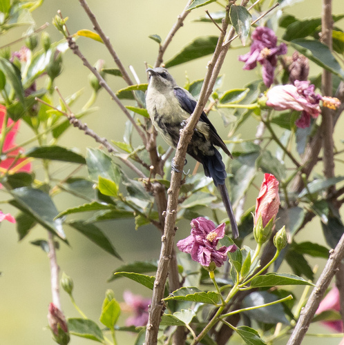
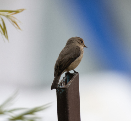
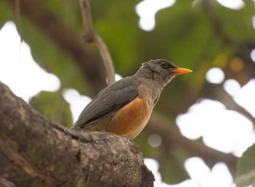
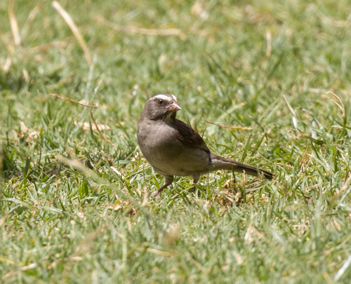
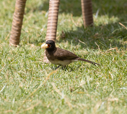
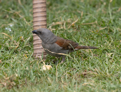
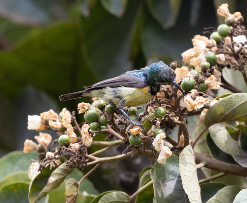
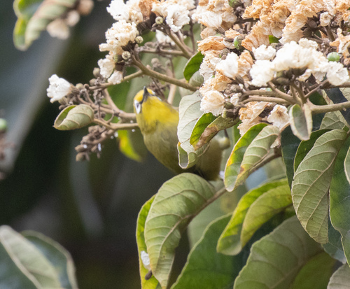
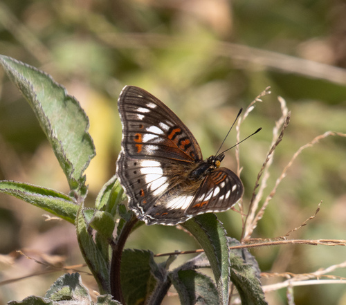
Research-grade observations from iNaturalist (within ~15 mi).
Events
Gallery
Sources
- • Wikipedia
- • Wikidata
- • USGS Earthquake Catalog (global feed)
- • GBIF (Global Biodiversity Information Facility)
- • iNaturalist
- • Open-Meteo / sunrise-sunset.org
- • Wikipedia Pageviews API