Browse / Finland / Päijänne Tavastia / Artjärvi
Artjärvi
Päijänne Tavastiatown

Artjärvi
Total population
1,407
Demographic figures from Statistics Finland. Overview below cites Wikipedia and may reference a different year.
City facts
Facts from Wikidata (CC0).
Overview
Artjärvi is a former municipality of Finland. It was consolidated with the town of Orimattila on January 1, 2011.
Read more on WikipediaHistory & geography
History
The name Artjärvi originally only referred to a nearby lake. In the 15th century, Artjärvi was the center of a taxation division, when it was also known as Sääksjärvi. Artjärvi, at the time a part of the Lapinjärvi parish, became the center of a chapel community in 1636. It became independent in 1865. Artjärvi was consolidated with Orimattila in 2011.
Excerpted from the corresponding Wikipedia article (CC BY-SA).
Geography
Coordinates & boundaries from the US Census TIGER/Line shapefiles.
Climate
Air quality
Walkability
Amenities nearby
Wildlife & biodiversity
Earthquake history
Photos
Sights & places nearby
Notable people from here
Geography & sun
Elevation, sunrise/sunset and daylight from Open-Meteo. Solar climatology from NASA POWER.
Nearby airports
Public attention
Pageview totals from the Wikimedia Pageviews API.
Books about this place
Recent natural events nearby
Ground air-quality sensors
Recently spotted species
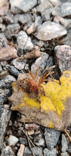
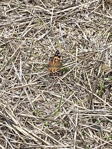
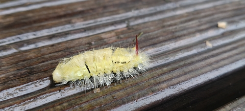
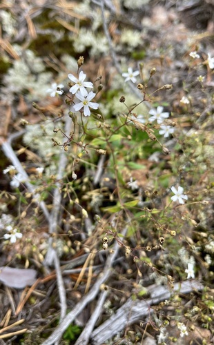
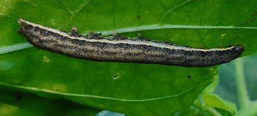
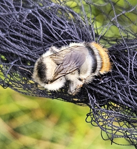
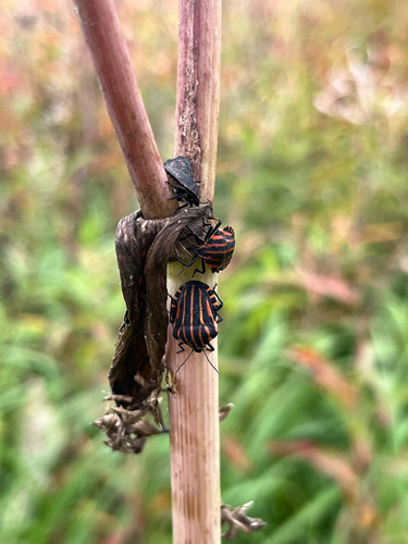
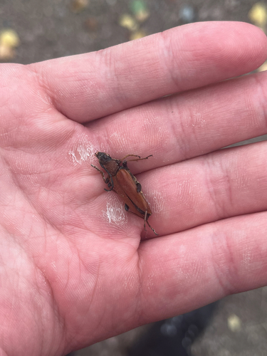
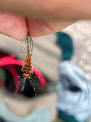
Research-grade observations from iNaturalist (within ~15 mi).
Events
Gallery
Sources
- • Wikipedia
- • Wikidata
- • iNaturalist
- • Open-Meteo / sunrise-sunset.org
- • Wikipedia Pageviews API
- • Wikidata SPARQL (CC0) — population, area, elevation, inception, head of government, Commons image