Browse / Finland / Ostrobothnia / Bergö
Bergö
Ostrobothniatown

Bergö
Demographic figures from Statistics Finland. Overview below cites Wikipedia and may reference a different year.
City facts
Overview
Bergö is an island and former municipality of Finland in the Coastal Ostrobothnia region. The municipality of Bergö was incorporated with Malax in 1973. The island's only connection to the mainland is currently the year-round ferry.
Read more on WikipediaHistory & geography
History
Originally, Bergö was four separate islands: Granön, Långön, Norrön and Holmen, which later merged due to post-glacial rebound. The history of Bergö Island goes all the way back to the late 1400s, when the first farmer was mentioned in 1495. In the 1500s, the island had nine houses, and about 40 inhabitants. Bergö, which was originally part of the parish of Korsholm, shared a prayer house with Malax in 1652 and a chapel parish in 1848. Bergö parish became independent in 1908 and received its own vicar for the first time in 1911. The parish is now part of the Malax parish union, and of the Porvoo Communion. The municipality of Bergö was merged with Malax in 1973. Bergö's attractions include its wooden church, which was built in 1800-1802 and extended to its current appearance in 1852–1853.
Excerpted from the corresponding Wikipedia article (CC BY-SA).
Geography
Coordinates & boundaries from the US Census TIGER/Line shapefiles.
Climate
Air quality
Walkability
Amenities nearby
Wildlife & biodiversity
Earthquake history
Photos
Sights & places nearby
Notable people from here
Nearby places in Ostrobothnia
Geography & sun
Elevation, sunrise/sunset and daylight from Open-Meteo. Solar climatology from NASA POWER.
Nearby airports
Public attention
Pageview totals from the Wikimedia Pageviews API.
Books about this place
Recent natural events nearby
Ground air-quality sensors
Recently spotted species
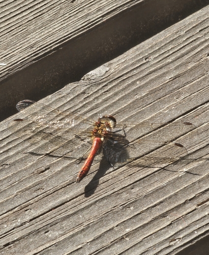
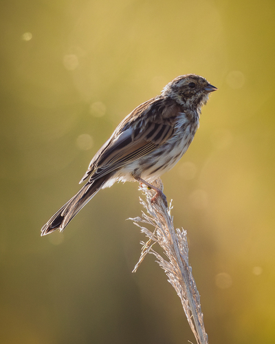
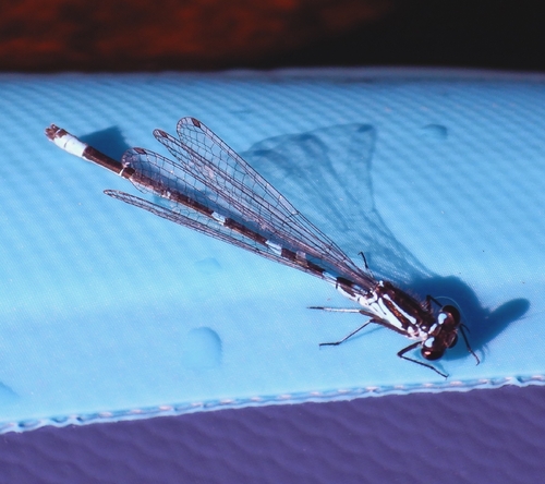
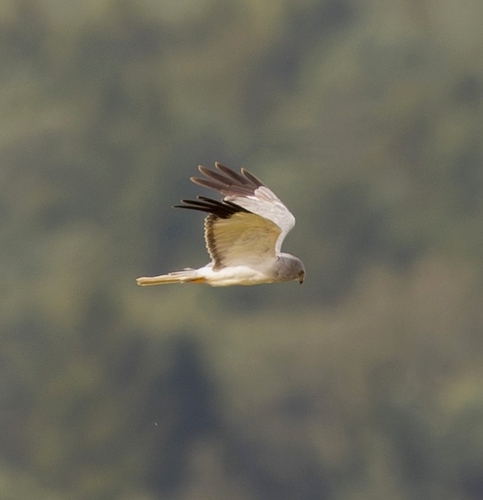
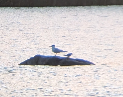
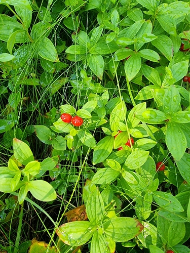
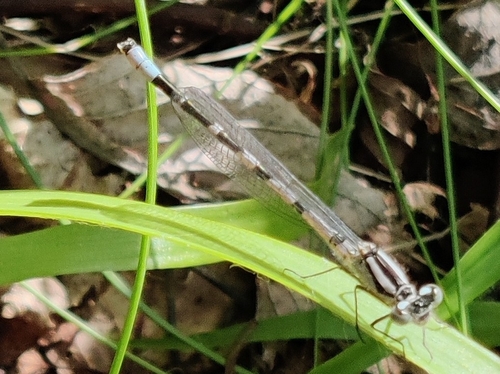
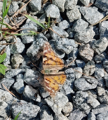

Research-grade observations from iNaturalist (within ~15 mi).
Events
Gallery
Sources
- • Wikipedia
- • iNaturalist
- • Open-Meteo / sunrise-sunset.org
- • Wikipedia Pageviews API
- • Wikidata SPARQL (CC0) — population, area, elevation, inception, head of government, Commons image