Browse / Finland / Lapland / Enontekiö
Enontekiö
Laplandtown

Enontekiö
Total population
1,765
Founded
1877
Demographic figures from Statistics Finland. Overview below cites Wikipedia and may reference a different year.
City facts
Facts from Wikidata (CC0).
Overview
Enontekiö is a municipality in the Finnish part of Lapland with approximately 1,800 inhabitants. It is situated in the outermost northwest of the country and occupies a large and very sparsely populated area of about 8,400 square kilometres (3,200 sq mi) between the Swedish and Norwegian border. Finland's highest point, the Halti fell, with a height of 1,324 metres (4,344 ft) above the mean sea level, is situated in the north of Enontekiö. The municipality shares borders with regions of Sweden and Norway that encompass the Scandinavian Mountains. The administrative centre of Enontekiö is the village of Hetta. About one fifth of the community's population are Sami people. Enontekiö's main industries are tourism and reindeer husbandry.
Read more on WikipediaHistory & geography
History
The first human settlement in Enontekiö emerged after the retreat of the glaciers at the end of the last ice age, when people of the Komsa culture migrated from the coast of the Arctic Ocean. The oldest traces of settlement were found at the shores of the Ounasjärvi Lake and are dated to a time 6,000 BC. Later, the Sami population of Lapland, which predominated for a long time in Enontekiö, developed by the blending of this stone-age ancestral population with speakers of Uralic languages, who immigrated after the 3rd millennium BC. Initially, the inhabitants of Enontekiö made their living from hunting and fishing, and they had only a few reindeer as draught animals. In early modern times, Enontekiö came under Swedish influence during the course of the Christianisation of the shamanistic Sami. In the 16th century, Enontekiö's first church was built. It was a small wooden building in the village of Rounala on the right shore (today in Sweden) of the Könkämäeno river. According to tradition, the church was erected by three Sami brothers who had converted to Christianity. It was a central meeting point, where Sami people gathered for religious ceremonies, where merchants travelled to sell their wares, and where Swedish officials held judicial courts at particular times. In 1611, a new church was built in the village of Markkina. After the destruction of this church, another one was erected in the same place in 1661. Since the end of the 17th century, the reindeer-Sami culture, which was based on keeping large herds of reindeer, spread from Norwegian and Swedish Lapland to Enontekiö. The reindeer-Sami of Enontekiö had a nomadic way of life; they moved with their animals between the coniferous forests in the south to Kåfjord, Kvænangen, and Nordreisa (in Norway) on the…
Geography
Enontekiö is located in the region of Lapland in the outermost northwest tip of Finland. The salient between the Swedish and Norwegian borders, which is occupied by the municipality of Enontekiö, is called Käsivarsi (Finnish for "arm"), because before World War II, Finland's borders had the shape of a woman's figure (Suomi-neito) and the area looked like her raised right arm. The municipality occupies a large and sparsely populated area of The largest part of the municipal area consists of these plateaus or bogs, which mainly predominate at the rivers. Only 19% of Enontekiö's area is afforested. About 70% of the total area is conservation area of various grades. Enontekiö contains parts of the Pallas-Yllästunturi National Park, as well as the wilderness areas of Käsivarsi, Pulju, Pöyrisjärvi and Tarvantovaara. Due to the harsh climatic conditions, there are not especially many species among Enontekiö's fauna; however, there are Arctic species that are unknown to southern Finland, e.g. Norway lemming, Arctic fox, snowy owl, Eurasian dotterel, ptarmigan, and ring ouzel. Besides the semi-domesticated reindeer, there are a lot of small mammals and bird species. Enontekiö's climate is characterised by the extreme northern location, the high altitude compared to the rest of Finland and the closeness of the Arctic Ocean. Due to the moderating influence of the Gulf Stream, the winters are not quite as harsh as in central Lapland, which is characterised by the continental climate, but the summers are shorter and cooler. The annual average temperatures of Enontekiö are the lowest of Finland. In Kilpisjärvi, in the north of the municipal area, the long-term average is −2.3 °C (compared to Helsinki: approx. +5 °C; Berlin approx. +9 °C). July is the warmest…
Excerpted from the corresponding Wikipedia article (CC BY-SA).
Geography
Coordinates & boundaries from the US Census TIGER/Line shapefiles.
Climate
Air quality
Walkability
Amenities nearby
Wildlife & biodiversity
Most-observed species
- Hertelidea botryosa (Fr.) Printzen & KantvilasHertelidea botryosa (Fr.) Printzen & Kantvilas · Lecanoromycetes235
- BramblingFringilla montifringilla Linnaeus, 1758 · Aves137
- Common RedpollAcanthis flammea (Linnaeus, 1758) · Aves122
- Gray-headed ChickadeePoecile cinctus (Boddaert, 1783) · Aves120
- Willow WarblerPhylloscopus trochilus (Linnaeus, 1758) · Aves112
- Great TitParus major Linnaeus, 1758 · Aves110
- Wood SandpiperTringa glareola Linnaeus, 1758 · Aves93
- Eurasian BullfinchPyrrhula pyrrhula (Linnaeus, 1758) · Aves90
Citizen-science & research observations from the Global Biodiversity Information Facility (GBIF).
Earthquake history
Events from the USGS Earthquake Catalog (global) (FDSN Event Web Service).
Photos
Sights & places nearby
Notable people from here
Nearby places in Lapland
Geography & sun
Nearby airports
Public attention
Books about this place
Recent natural events nearby
Ground air-quality sensors
Recently spotted species
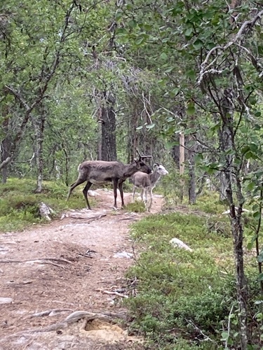
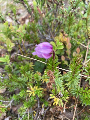
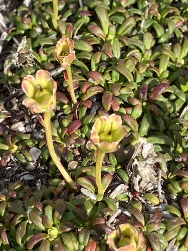
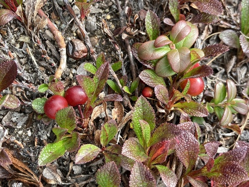
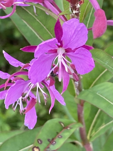
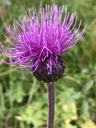
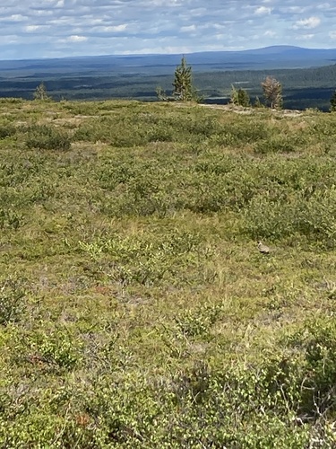
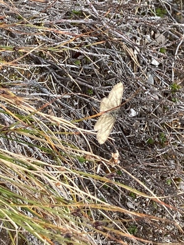
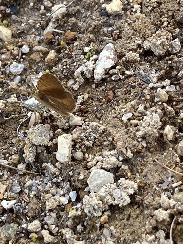
Research-grade observations from iNaturalist (within ~15 mi).
Events
Gallery
Sources
- • Wikipedia
- • Wikidata
- • USGS Earthquake Catalog (global feed)
- • GBIF (Global Biodiversity Information Facility)
- • iNaturalist
- • Wikidata SPARQL (CC0) — population, area, elevation, inception, head of government, Commons image