Browse / Finland / Pirkanmaa / Eräjärvi
Eräjärvi
Pirkanmaatown
No image yet
Coordinates61.58°, 24.56°
Demographic figures from Statistics Finland. Overview below cites Wikipedia and may reference a different year.
Loading additional data from public sources…0 / 11
CensusWikipediaWeatherPlacesPeopleEnvironmentHealth & SchoolsRelatedGeography & CultureLive MonitoringEvents & Gallery
0% completeCity facts
Overview
Eräjärvi is a former municipality of Finland. It is located 20 km from Orivesi, and 50 km from Tampere . It was an independent municipality until 1973. After 1973 part of Orivesi city . It has a church that was built in 1821, as part of Orivesi parish.
Read more on WikipediaHistory & geography
Geography
Latitude
61.5781
Longitude
24.5600
Water area
—
Coordinates & boundaries from the US Census TIGER/Line shapefiles.
Climate
Air quality
Walkability
Amenities nearby
Wildlife & biodiversity
Earthquake history
Photos
Sights & places nearby
Notable people from here
Nearby places in Pirkanmaa
Geography & sun
Nearby airports
Public attention
Books about this place
Recent natural events nearby
Ground air-quality sensors
Recently spotted species
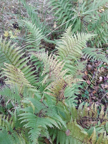
male fern
Dryopteris filix-mas
Seen 2026-09-20
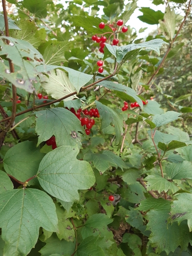
guelder-rose
Viburnum opulus
Seen 2026-09-20
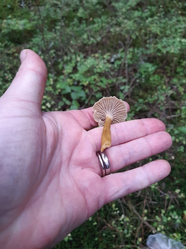
Yellowfoot
Craterellus tubaeformis
Seen 2026-09-19
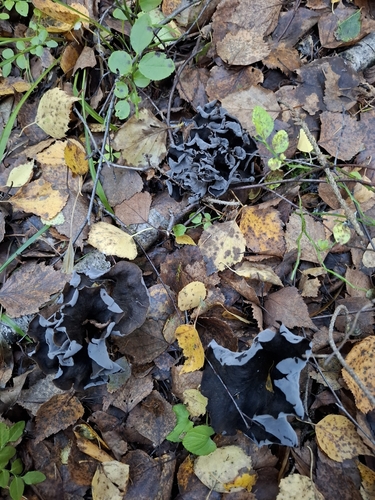
Horn-of-plenty
Craterellus cornucopioides
Seen 2026-09-11
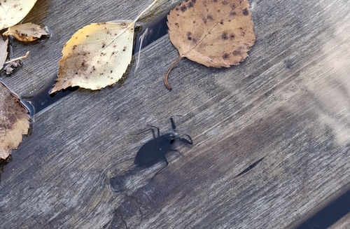
Eurasian Water Scorpion
Nepa cinerea
Seen 2026-09-11
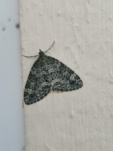
Autumn Green Carpet
Chloroclysta miata
Seen 2026-09-01
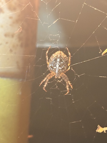
Cross Orbweaver
Araneus diadematus
Seen 2026-08-29
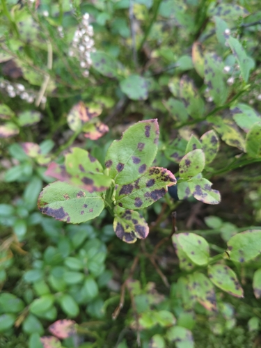
common bilberry
Vaccinium myrtillus
Seen 2026-08-29
European Perch
Perca fluviatilis
Seen 2026-08-26
Research-grade observations from iNaturalist (within ~15 mi).
Events
Gallery
Sources
- • Wikipedia
- • iNaturalist
- • Wikidata SPARQL (CC0) — population, area, elevation, inception, head of government, Commons image