Browse / Finland / Åland / Hammarland
Hammarland
Ålandtown

Hammarland
Total population
1,645
Demographic figures from Statistics Finland. Overview below cites Wikipedia and may reference a different year.
City facts
Facts from Wikidata (CC0).
Overview
Hammarland is a municipality of Åland, an autonomous region of Finland. Its entire population of 1,644 people speak Swedish, with 90% having it as their first language. Hammarland is known for its historic church, considered one of the mother churches of Åland.
Read more on WikipediaHistory & geography
Geography
Hammarland has a total area of , of which is water and only is land.
Excerpted from the corresponding Wikipedia article (CC BY-SA).
Geography
Coordinates & boundaries from the US Census TIGER/Line shapefiles.
Climate
Air quality
Walkability
Amenities nearby
Wildlife & biodiversity
Most-observed species
- Common ChaffinchFringilla coelebs Linnaeus, 1758 · Aves1,740
- Eurasian BlackbirdTurdus merula Linnaeus, 1758 · Aves817
- Great TitParus major Linnaeus, 1758 · Aves758
- Willow WarblerPhylloscopus trochilus (Linnaeus, 1758) · Aves674
- Common Wood-PigeonColumba palumbus Linnaeus, 1758 · Aves645
- Eurasian Blue TitCyanistes caeruleus (Linnaeus, 1758) · Aves627
- Mew GullLarus canus Linnaeus, 1758 · Aves577
- Hooded CrowCorvus cornix Linnaeus, 1758 · Aves559
Citizen-science & research observations from the Global Biodiversity Information Facility (GBIF).
Earthquake history
Events from the USGS Earthquake Catalog (global) (FDSN Event Web Service).
Photos
Sights & places nearby
Notable people from here


People born within ~10 km, from Wikidata (CC0). Click any name for their Wikipedia article.
Nearby places in Åland
- Åva48.7 mi away
- Turkovčina989.8 mi away · pop. 334
- Bosna990.1 mi away · pop. 97
- Gornja Velika991.9 mi away · pop. 62
- Gornje Orešje991.9 mi away · pop. 251
- Svorniki992 mi away
- Ledina992.1 mi away · pop. 198
- Komin992.3 mi away · pop. 204
- Zadrkovec992.3 mi away · pop. 214
- Šurdovec992.4 mi away
- Srednja Velika992.5 mi away · pop. 58
- Donje Orešje993 mi away · pop. 502
Geography & sun
Elevation, sunrise/sunset and daylight from Open-Meteo. Solar climatology from NASA POWER.
Nearby airports
Public attention
Pageview totals from the Wikimedia Pageviews API.
Books about Hammarland
Search results from Open Library.
Recent natural events nearby
Ground air-quality sensors
Recently spotted species
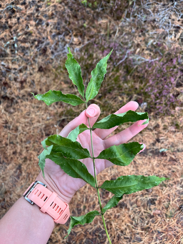
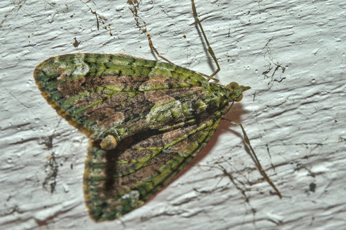
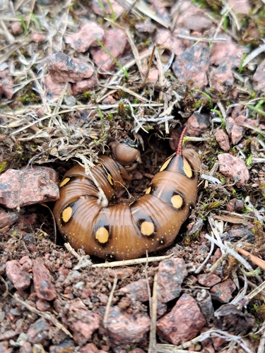
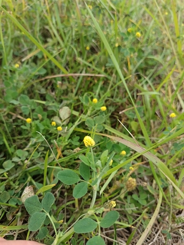
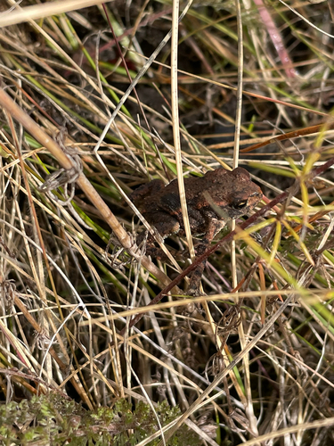
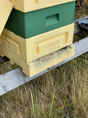
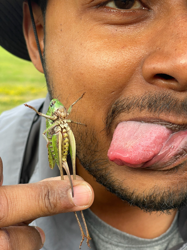
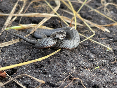
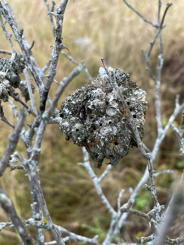
Research-grade observations from iNaturalist (within ~15 mi).
Events
Gallery
Sources
- • Wikipedia
- • Wikidata
- • USGS Earthquake Catalog (global feed)
- • GBIF (Global Biodiversity Information Facility)
- • iNaturalist
- • Open-Meteo / sunrise-sunset.org
- • Wikipedia Pageviews API
- • Open Library
- • Wikidata SPARQL (CC0) — population, area, elevation, inception, head of government, Commons image