Browse / Finland / Satakunta / Harjavalta
Harjavalta
Satakuntatown

Harjavalta
Total population
7,513
Demographic figures from Statistics Finland. Overview below cites Wikipedia and may reference a different year.
City facts
Overview
Harjavalta is a town and municipality in Finland. It's located in the Satakunta region, 29 kilometres (18 mi) southeast of Pori. The town has a population of 6,565 and covers an area of 127.74 square kilometres (49.32 sq mi) of which 4.28 km2 (1.65 sq mi) is water. The population density is 53.17 inhabitants per square kilometre (137.7/sq mi).
Read more on WikipediaHistory & geography
History
Earliest signs of habitation on the area have been dated to 1200 BC. Various different writings of the name in documents of the 15th century at the Turku Cathedral are Harianwalta, Hariawalta, Hariaualdastha, Harianwaltha and Harianwaltaby. The name is supposed to originate from the speculative Proto Germanic name , composed of the speculative words *harjaz ("army") and *waldaz ("authority"). It is believed that either a person named Harjawaldaz or a warrior band settled or lived in the area. The earliest known written occurrence of the name is from Tacitus on the first century, Chariovalda. Different adoptions of the same name are Harald, Hérault and Harold, but Harjavalta is closest to the reconstructed original. In 1670, the villages of Harjavalta formed their own chapel parish, but the official status of an independent congregation began to be sought about 200 years later. Harjavalta's application for its own pastor was granted in 1868, and the decision was implemented in 1878. The new independent parish had about 1,600 members. The great famine years in the 1860s doubled mortality in Finland, but on the scale of Finland as a whole, Harjavalta did little to avoid this ordeal. The act of 1865 on the municipal government led to the formation of the municipal council and the municipal government also in Harjavalta in 1869. This is considered to be the year of birth of the municipality of Harjavalta. The first school building was acquired in 1885, when the municipality bought the Kreetala farm, the main building of which became Harjavalta's first folk school.
Excerpted from the corresponding Wikipedia article (CC BY-SA).
Geography
Coordinates & boundaries from the US Census TIGER/Line shapefiles.
Climate
Air quality
Walkability
Amenities nearby
Wildlife & biodiversity
Earthquake history
Photos
Sights & places nearby
Notable people from here
Nearby places in Satakunta
Geography & sun
Elevation, sunrise/sunset and daylight from Open-Meteo. Solar climatology from NASA POWER.
Nearby airports
Public attention
Pageview totals from the Wikimedia Pageviews API.
Books about this place
Recent natural events nearby
Ground air-quality sensors
Recently spotted species
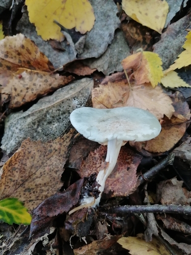
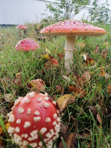
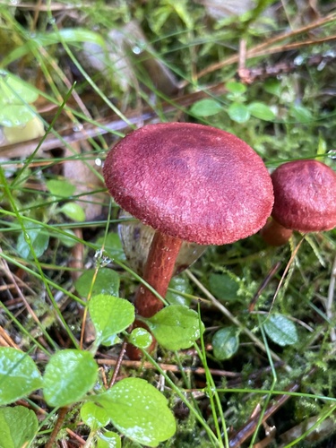
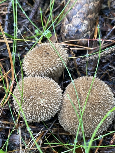
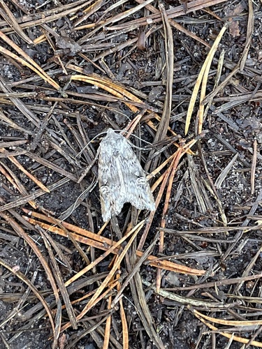
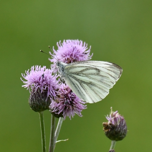
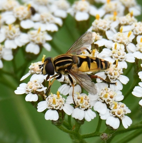
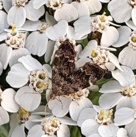
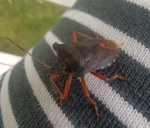
Research-grade observations from iNaturalist (within ~15 mi).
Events
Gallery
Official Identifiers
Tilastokeskus — Statistics Finland
- Kuntanumero
- FIHRJ
- Population (Wikidata)
- 6,565
- Wikidata
- Q986578
Kuntanumero via Wikidata P1937
Sources
- • Wikipedia
- • iNaturalist
- • Open-Meteo / sunrise-sunset.org
- • Wikipedia Pageviews API
- • Wikidata SPARQL (CC0) — population, area, elevation, inception, head of government, Commons image
- • Tilastokeskus — Statistics Finland — Kuntanumero via Wikidata P1937