Browse / Finland / Päijänne Tavastia / Heinola
Heinola
Päijänne Tavastiatown

Heinola
Total population
21,351
Founded
1776
Demographic figures from Statistics Finland. Overview below cites Wikipedia and may reference a different year.
City facts
Sister cities
Facts from Wikidata (CC0).
Overview
Heinola is a town and a municipality of 17,694 inhabitants located in the eastern part of the Päijät-Häme region, Finland, near the borders of the South Savo region and the Kymenlaakso region. It is the third largest municipality in the region in terms of population after Lahti and Hollola. The neighbour municipalities of Heinola are Asikkala, Hartola, Iitti, Kouvola, Mäntyharju, Nastola, Pertunmaa and Sysmä.
Read more on WikipediaHistory & geography
History
Heinola used to be a remote village of then larger Hollola until it gained significance in 1776 when Gustav III of Sweden promoted it to be the governmental center of the province in which it was then located. The grid plan of the city center is from that era. Heinola also became a center of commerce for nearby regions. When Finland became a part of Russia in 1809, the capital of the province was moved eastwards with the state border. To compensate this, Heinola was granted town rights on 26 December 1839 by Czar Nicholas I. Before World War II, Heinola was widely known as a spa town, and until 1972 it served as a location for an institute (seminaari) that taught elementary school teachers. These both were established in the 1890s and played an important role in the town life. The actual competition happened in nearby Joutsa. Heinolan maalaiskunta was merged into Heinola in 1997.
Geography
Heinola is largely situated between two lakes, Ruotsalainen and Konnivesi. A waterway connecting the lakes crosses the town and is, along with an esker also crossing the town, a characterising geographical feature of Heinola. A motorway (Finnish national road 4/E75) connects Heinola to Lahti (distance ) and Helsinki (distance ); it also acrosses Lake Ruotsalainen on the Tähtiniemi Bridge in the northern part of town. Heinola is also southern head of the Finnish national road 5, which goes over 900 kilometres to the north through the cities Kuopio and Kajaani to Sodankylä.
Excerpted from the corresponding Wikipedia article (CC BY-SA).
Geography
Coordinates & boundaries from the US Census TIGER/Line shapefiles.
Climate
Air quality
Walkability
Amenities nearby
Wildlife & biodiversity
Most-observed species
- Common ChaffinchFringilla coelebs Linnaeus, 1758 · Aves532
- Willow WarblerPhylloscopus trochilus (Linnaeus, 1758) · Aves408
- Green-veined WhitePieris napi (Linnaeus, 1758) · Insecta390
- BrimstoneGonepteryx rhamni (Linnaeus, 1758) · Insecta346
- Great TitParus major Linnaeus, 1758 · Aves333
- Eurasian Blue TitCyanistes caeruleus (Linnaeus, 1758) · Aves308
- Garden LupinLupinus polyphyllus Lindl. · Magnoliopsida304
- RingletAphantopus hyperantus (Linnaeus, 1758) · Insecta281
Citizen-science & research observations from the Global Biodiversity Information Facility (GBIF).
Earthquake history
Most recent
- M 2.6 — 2011-03-19Finland
Events from the USGS Earthquake Catalog (global) (FDSN Event Web Service).
Photos
Sights & places nearby
Notable people from here


People born within ~10 km, from Wikidata (CC0). Click any name for their Wikipedia article.
Nearby places in Päijänne Tavastia
Geography & sun
Elevation, sunrise/sunset and daylight from Open-Meteo. Solar climatology from NASA POWER.
Nearby airports
Public attention
Pageview totals from the Wikimedia Pageviews API.
Books about this place
Recent natural events nearby
Ground air-quality sensors
Recently spotted species
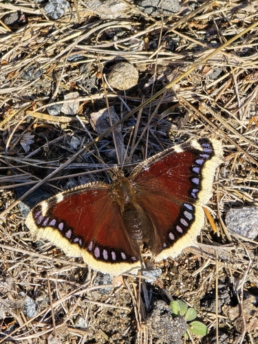
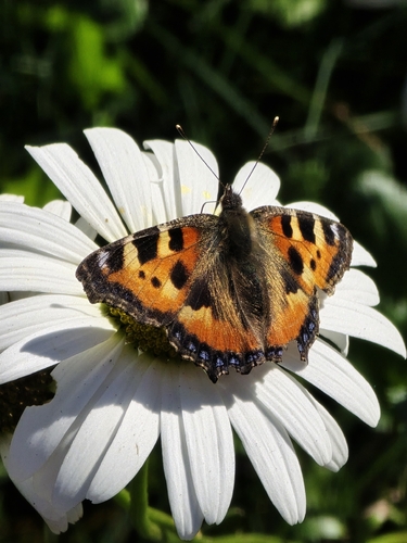
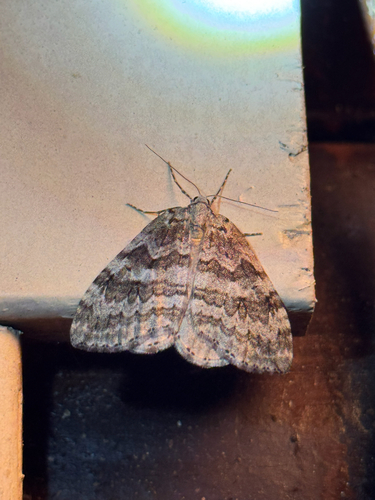
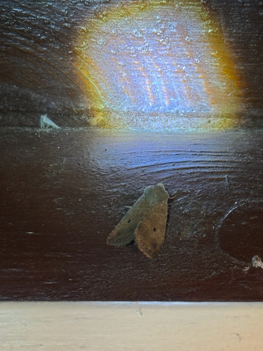
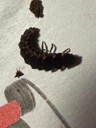
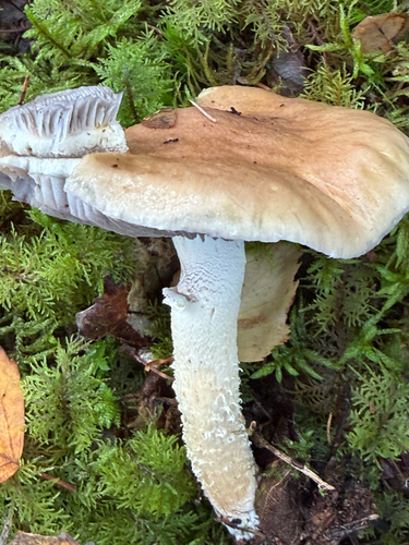
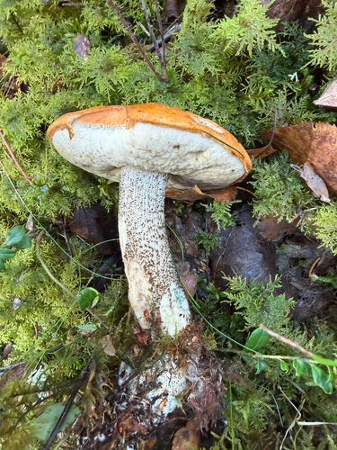
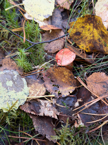
Research-grade observations from iNaturalist (within ~15 mi).
Events
Gallery
Official Identifiers
Tilastokeskus — Statistics Finland
- Kuntanumero
- FIHEA
- Population (Wikidata)
- 17,694
- Wikidata
- Q849934
Kuntanumero via Wikidata P1937
Sources
- • Wikipedia
- • Wikidata
- • USGS Earthquake Catalog (global feed)
- • GBIF (Global Biodiversity Information Facility)
- • iNaturalist
- • Open-Meteo / sunrise-sunset.org
- • Wikipedia Pageviews API
- • Wikidata SPARQL (CC0) — population, area, elevation, inception, head of government, Commons image
- • Tilastokeskus — Statistics Finland — Kuntanumero via Wikidata P1937