Browse / Finland / Uusimaa / Herunen
Herunen
Uusimaavillage

Herunen
Total population
552
Demographic figures from Statistics Finland. Overview below cites Wikipedia and may reference a different year.
City facts
Facts from Wikidata (CC0).
Overview
Herunen is a village in the northern part of the Nurmijärvi municipality in Uusimaa, Finland. At the end of 2011, there were 535 inhabitants in this small urban area, which crossed the municipal border between Nurmijärvi and Hyvinkää, of which 531 lived in Nurmijärvi and 4 in Hyvinkää. Herunen is located on Lohjanharju, about 50 meters above sea level. From Herunen to the northeast towards Hyvinkää, the old Helsinki–Hämeenlinna highway and the current regional road 130, will meet. By the south, towards neighbouring village Rajamäki, you will meet Highway 25, along which you can get to Hanko and Hyvinkää.
Read more on WikipediaHistory & geography
Geography
Coordinates & boundaries from the US Census TIGER/Line shapefiles.
Climate
Air quality
Walkability
Amenities nearby
Wildlife & biodiversity
Earthquake history
Photos
Sights & places nearby
Notable people from here


People born within ~10 km, from Wikidata (CC0). Click any name for their Wikipedia article.
Nearby places in Uusimaa
- Röykkä6.9 mi away
- Pippuri37.6 mi away
- Jelovice1129.9 mi away · pop. 17
- Vodice1130 mi away · pop. 16
- Dane1131 mi away · pop. 9
- Rašpor1132.4 mi away · pop. 3
- Klenovšćak1132.8 mi away · pop. 6
- Kropinjak1133.1 mi away · pop. 4
- Račja Vas1133.1 mi away · pop. 25
- Podgaće1134 mi away · pop. 52
- Krbavčići1134.3 mi away · pop. 58
- Perci1134.3 mi away · pop. 52
Geography & sun
Nearby airports
Public attention
Books about this place
Recent natural events nearby
Ground air-quality sensors
Recently spotted species
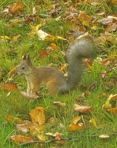
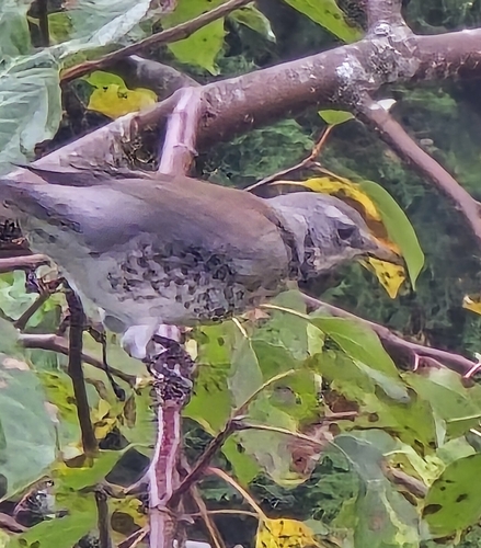
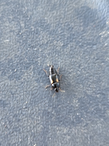
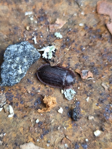
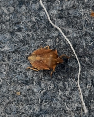

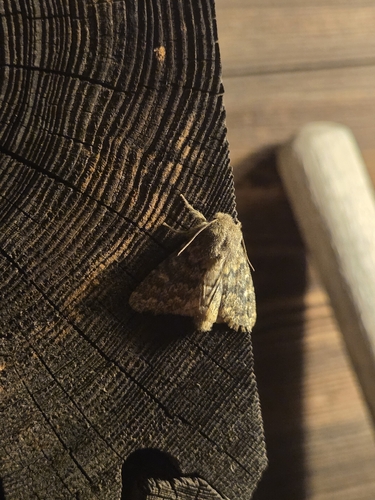
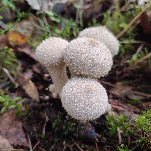
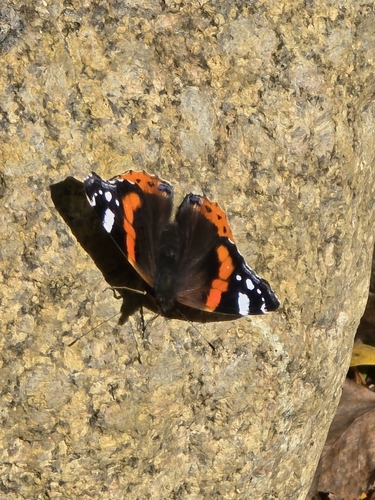
Research-grade observations from iNaturalist (within ~15 mi).
Events
Gallery
Sources
- • Wikipedia
- • Wikidata
- • iNaturalist
- • Wikidata SPARQL (CC0) — population, area, elevation, inception, head of government, Commons image