Browse / Finland / Päijänne Tavastia / Hollola
Hollola
Päijänne Tavastiatown

Hollola
Total population
22,849
Founded
1865
Demographic figures from Statistics Finland. Overview below cites Wikipedia and may reference a different year.
City facts
Sister cities
Facts from Wikidata (CC0).
Overview
Hollola is a municipality of Finland, located in the western part of the Päijät-Häme region. The municipality is unilingually Finnish and has a population of 22,775 and covers an area of 727.47 square kilometres (280.88 sq mi) of which 68.66 km2 (26.51 sq mi) is water. The population density is 34.96 inhabitants per square kilometre (90.5/sq mi).
Read more on WikipediaHistory & geography
History
The banks of Hollola's Lake Päijänne have been inhabited since the Stone Age because of its fish population. During the Viking Age, Hollola developed into an important center, the most densely populated area of which was the Vainio region. Hollola also contains the Kirkailanmäki cemetery. After the Swedish crusade to Hämee and the establishment of the Catholic Church in the area, Päijät-Hämee became a border region of the Swedish Empire. A chain of 13 ancient fortresses has been found in Finland, of which the hill fort Kapatuosia has been the most thoroughly studied. In addition to the ancient fortress of Kapatuosia, the Hankaa and Laitiala Kiiluanmäki fortresses are also found in Hollola. Their actual purpose is not exactly known, but it is suspected that they were part of a defense chain, a fire notification chain or places of escape for the local population. Agriculture-dominant Hollola began to industrialize in the late 1960s when the Salpakakkaa conglomeration was zoned in the village of Ala-Okeroinen along the Tampere-Lahden highway, which became Hollola's new municipal center. In recent decades, Hollola has been the fastest growing municipality in Päijät-Häme in terms of population. In Päijät-Hämee, several municipal merger discussions have been held and related investigations have been carried out. They include the Uusi Kunta project called Vellamo and the unification project of six municipalities: Hollola, Hämeenkoski, Iiti, Kärkölä, Lahti and Nastola. The project was rejected by the Hollola municipal council and the Iiti municipal council. Hämeenkoski was merged with Hollola at the beginning of 2016.
Geography
Tiirismaa, the highest point in southern Finland, is located in Hollola, north of the Salpakangas municipal center. In total, there are 44 lakes, including lakes partially in other municipalities in Hollola, the largest of which are Lake Vesijärvi, Lake Pääjärvi and Lake Kivijärvi. Lake Kiikunlähde is located northwest of Hollola church in the village of Uskila. A portion of the Finnish nature film The Story of the Lake was filmed at Kiikunlähde. Kiikunlähde is potable and serves as a surface water intake for households. Nationally valuable landscape areas include the Kastarin-Hatsinan-Kutajoki landscape area. The traditional landscapes include the Heinlammi rock fields and the Tervala meadow of Huhdanjoki. Hollola's Natura 2000 nature reserves are Kivijärvi, Kotajärvi, Kutajärvi, Pähkinäkukkula, Riihikallio-Pilkanmäki and Tiirismaa.
Excerpted from the corresponding Wikipedia article (CC BY-SA).
Geography
Coordinates & boundaries from the US Census TIGER/Line shapefiles.
Climate
Air quality
Walkability
Amenities nearby
Wildlife & biodiversity
Earthquake history
Photos
Sights & places nearby
Notable people from here
Nearby places in Päijänne Tavastia
Geography & sun
Elevation, sunrise/sunset and daylight from Open-Meteo. Solar climatology from NASA POWER.
Nearby airports
Public attention
Pageview totals from the Wikimedia Pageviews API.
Books about this place
Recent natural events nearby
Ground air-quality sensors
Recently spotted species
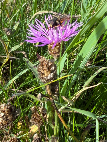
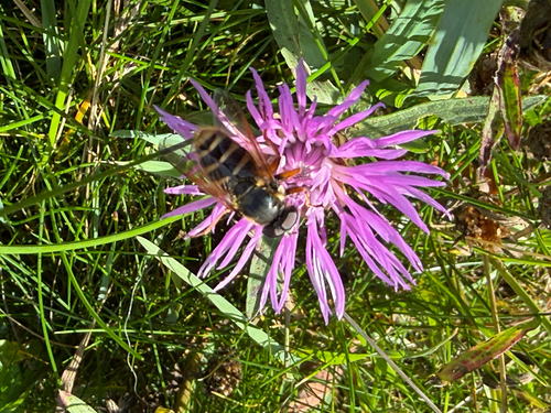
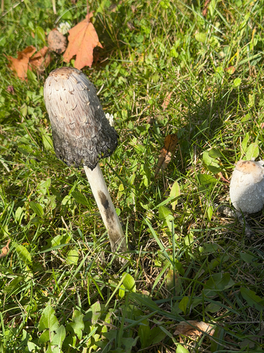
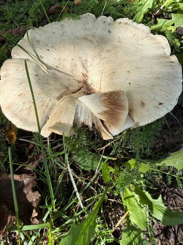
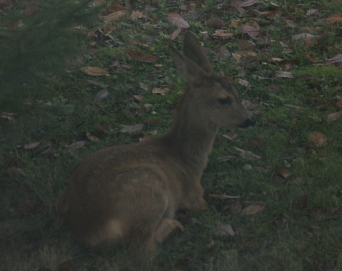
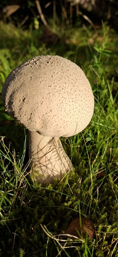
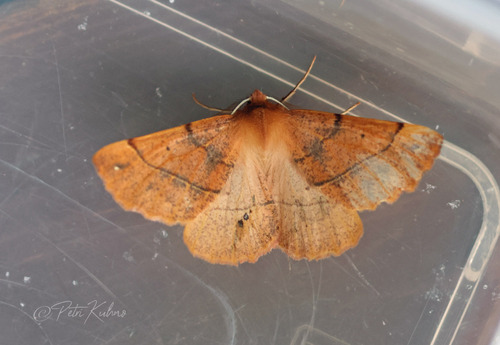
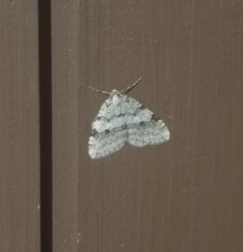
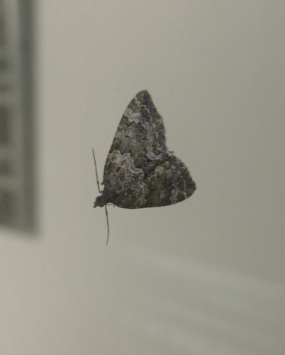
Research-grade observations from iNaturalist (within ~15 mi).
Events
Gallery
Sources
- • Wikipedia
- • Wikidata
- • iNaturalist
- • Open-Meteo / sunrise-sunset.org
- • Wikipedia Pageviews API
- • Wikidata SPARQL (CC0) — population, area, elevation, inception, head of government, Commons image