Browse / Finland / Southwest Finland / Houtskär
Houtskär
Southwest Finlandvillage

Houtskär
Total population
633
Demographic figures from Statistics Finland. Overview below cites Wikipedia and may reference a different year.
City facts
Facts from Wikidata (CC0).
Overview
Houtskär is an island group and former municipality of Finland. On 1 January 2009, it was consolidated with Iniö, Korpo, Nagu and Pargas to form the municipality of Pargas. Houtskär was neighboured by municipalities of Brändö, Iniö, Kökar, Korpo and Sottunga.
Read more on WikipediaHistory & geography
History
The name of Houtskär is of Finnish origin. The hout- element does not come from any Swedish word, instead coming from the Finnish word hauta which in this context may refer to a deep part of the sea or a burial site. The original Finnish name can be reconstructed as *Hautasaari or *Hautasalo, where saari/salo was then translated into Swedish as skär. Houtskari is a later Finnish transcription of the Swedish name. Houtskär was first mentioned in 1554. A chapel was built in the village of Näsby in the early 17th century, while a church was built there in the 18th century. At the time, Houtskär was a part of the Korpo (Korppoo) parish. In 1865, Houtskär became a separate municipality. In 2009, Houtskär became a part of the new Väståboland municipality, which was renamed to Pargas in 2012.
Excerpted from the corresponding Wikipedia article (CC BY-SA).
Geography
Coordinates & boundaries from the US Census TIGER/Line shapefiles.
Climate
Air quality
Walkability
Amenities nearby
Wildlife & biodiversity
Earthquake history
Photos
Sights & places nearby
Notable people from here
Geography & sun
Elevation, sunrise/sunset and daylight from Open-Meteo. Solar climatology from NASA POWER.
Nearby airports
Public attention
Pageview totals from the Wikimedia Pageviews API.
Books about this place
Recent natural events nearby
Ground air-quality sensors
Recently spotted species
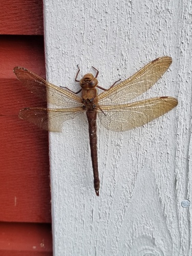
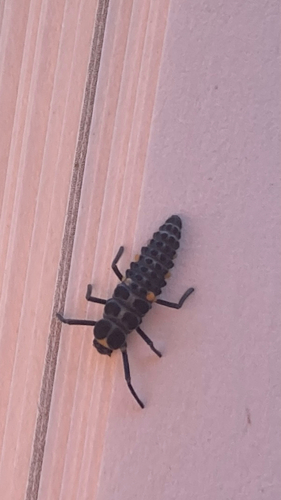
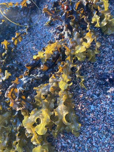
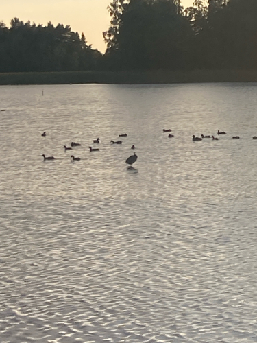
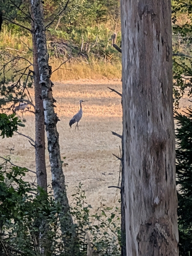
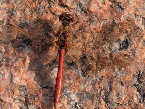
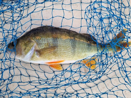
Research-grade observations from iNaturalist (within ~15 mi).
Events
Gallery
Sources
- • Wikipedia
- • Wikidata
- • iNaturalist
- • Open-Meteo / sunrise-sunset.org
- • Wikipedia Pageviews API
- • Wikidata SPARQL (CC0) — population, area, elevation, inception, head of government, Commons image