Browse / Finland / South Karelia / Imatra
Imatra
South Kareliatown

Imatra
Total population
24,729
Founded
1948
Demographic figures from Statistics Finland. Overview below cites Wikipedia and may reference a different year.
City facts
Facts from Wikidata (CC0).
Overview
Imatra is a city in Finland, located in the southeastern interior of the country. Imatra is located in the region of South Karelia, on Lake Saimaa and the River Vuoksi. The population of Imatra is approximately 24,000, while the sub-region has a population of approximately 36,000. It is the 42nd most populous municipality in Finland.
Read more on WikipediaHistory & geography
History
An Art Nouveau or Jugend style castle, currently known as Imatran Valtionhotelli (Imatra State Hotel), was built near the rapids in 1903 as a hotel for tourists from the Russian Imperial capital Saint Petersburg. During the Continuation War, Carl Gustaf Emil Mannerheim met with Adolf Hitler in secrecy near the town for the former's 75th birthday. Imatra was founded in 1948 on the territory of three municipalities – Jääski, Ruokolahti and Joutseno. Finland ceded 9% of its territory to the Soviet Union after the Winter War. Jääski lost 85% of its territory and it was decided that a new municipality, Imatra, should be established on the remaining 15% of Jääski and some areas of Ruokolahti and Joutseno. This is why the Imatra coat of arms has three flashes – in honour of those previous municipalities that granted areas to it. It gained its municipal charter in 1971.
Excerpted from the corresponding Wikipedia article (CC BY-SA).
Geography
Coordinates & boundaries from the US Census TIGER/Line shapefiles.
Climate
Air quality
Walkability
Amenities nearby
Wildlife & biodiversity
Earthquake history
Photos
Sights & places nearby
Notable people from here
Nearby places in South Karelia
- Gornji Macelj1154.3 mi away · pop. 161
- Gotalovec1154.7 mi away · pop. 155
- Grtovec1155.6 mi away · pop. 342
- Lužani Zagorski1155.9 mi away · pop. 125
- Gornji Kraljevec1156.4 mi away · pop. 353
- Gornja Selnica1156.8 mi away · pop. 201
- Gornje Jesenje1156.9 mi away · pop. 749
- Donji Macelj1156.9 mi away · pop. 566
- Donji Kraljevec1157 mi away · pop. 135
- Donje Jesenje1157.4 mi away · pop. 359
- Hrašćina1157.5 mi away · pop. 104
- Jarek Habekov1157.9 mi away · pop. 171
Geography & sun
Elevation, sunrise/sunset and daylight from Open-Meteo. Solar climatology from NASA POWER.
Nearby airports
Public attention
Pageview totals from the Wikimedia Pageviews API.
Books about this place
Recent natural events nearby
Ground air-quality sensors
Recently spotted species
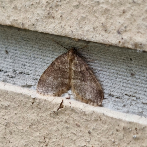
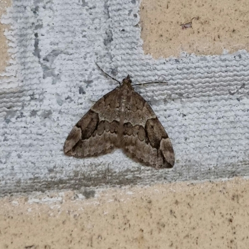
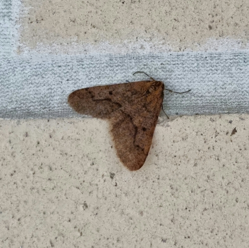
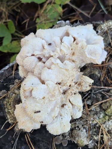
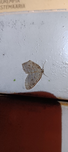
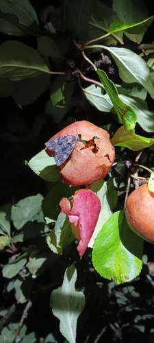
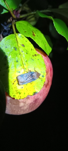
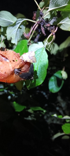
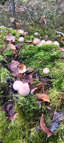
Research-grade observations from iNaturalist (within ~15 mi).
Events
Notable, recurring, and historical events associated with Imatra, sourced from Wikidata.
- Q9348200Jan 1, 2003sporting event
Source: Wikidata (CC0).
Gallery
Official Identifiers
Tilastokeskus — Statistics Finland
- Kuntanumero
- FIIMA
- Population (Wikidata)
- 24,345
- Wikidata
- Q211020
Kuntanumero via Wikidata P1937
Sources
- • Wikipedia
- • Wikidata
- • iNaturalist
- • Open-Meteo / sunrise-sunset.org
- • Wikipedia Pageviews API
- • Wikidata SPARQL (CC0) — population, area, elevation, inception, head of government, Commons image
- • Tilastokeskus — Statistics Finland — Kuntanumero via Wikidata P1937