Browse / Finland / South Karelia / Joutseno
Joutseno
South Kareliatown

Joutseno
Total population
10,849
Demographic figures from Statistics Finland. Overview below cites Wikipedia and may reference a different year.
City facts
Facts from Wikidata (CC0).
Overview
Joutseno is a former town and municipality of Finland. It is located in the province of Southern Finland and is part of the South Karelia region.
Read more on WikipediaHistory & geography
History
The name Joutseno is usually connected to the word joutsen meaning "swan" (hence the coat of arms), however it may also refer to joutsi, a dialectal variant of the word jousi, "bow (weapon)", the genitive of which is joutsen. Joutseno has existed at least since 1544, when it was mentioned as Jousenby as a village of Jääski, which is now a part of Russia as Lesogorsky. Joutseno became a separate parish in 1639 and was originally called Joutsenus. The current name Joutseno has referred to the parish since the 18th century, but became the predominant spelling in the 19th century. Joutseno became a town in 2005. It was consolidated with Lappeenranta in 2009.
Geography
Joutseno is located by Finland's largest lake Saimaa.
Excerpted from the corresponding Wikipedia article (CC BY-SA).
Geography
Coordinates & boundaries from the US Census TIGER/Line shapefiles.
Climate
Air quality
Walkability
Amenities nearby
Wildlife & biodiversity
Earthquake history
Photos
Sights & places nearby
Notable people from here


People born within ~10 km, from Wikidata (CC0). Click any name for their Wikipedia article.
Nearby places in South Karelia
- Gornji Macelj1144.8 mi away · pop. 161
- Gotalovec1145.3 mi away · pop. 155
- Grtovec1146.3 mi away · pop. 342
- Gornji Kraljevec1147 mi away · pop. 353
- Donji Macelj1147.4 mi away · pop. 566
- Gornja Selnica1147.5 mi away · pop. 201
- Gornje Jesenje1147.5 mi away · pop. 749
- Donji Kraljevec1147.7 mi away · pop. 135
- Donje Jesenje1147.9 mi away · pop. 359
- Hrašćina1148.2 mi away · pop. 104
- Jarek Habekov1148.5 mi away · pop. 171
- Žutnica1148.7 mi away · pop. 248
Geography & sun
Elevation, sunrise/sunset and daylight from Open-Meteo. Solar climatology from NASA POWER.
Nearby airports
Public attention
Pageview totals from the Wikimedia Pageviews API.
Books about this place
Recent natural events nearby
Ground air-quality sensors
Recently spotted species
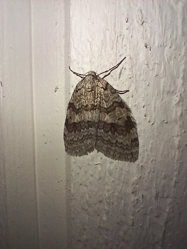
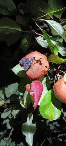
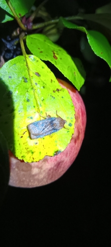
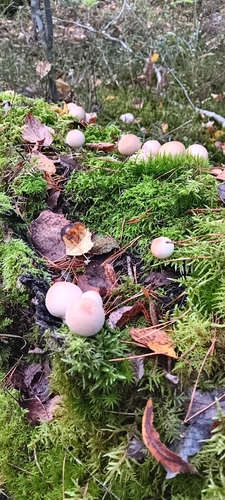
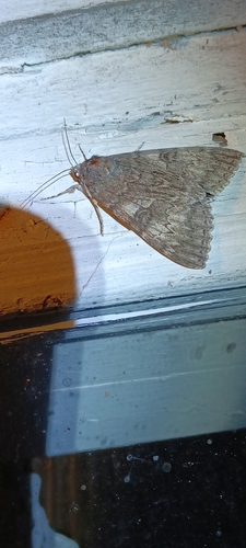
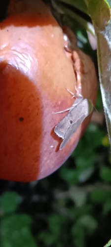
Research-grade observations from iNaturalist (within ~15 mi).
Events
Gallery
Sources
- • Wikipedia
- • Wikidata
- • iNaturalist
- • Open-Meteo / sunrise-sunset.org
- • Wikipedia Pageviews API
- • Wikidata SPARQL (CC0) — population, area, elevation, inception, head of government, Commons image