Browse / Finland / Southern Ostrobothnia / Kauhava
Kauhava
Southern Ostrobothniatown

Kauhava
Total population
15,504
Demographic figures from Statistics Finland. Overview below cites Wikipedia and may reference a different year.
City facts
Sister cities
Facts from Wikidata (CC0).
Overview
Kauhava is a town and municipality of Finland. It is part of the South Ostrobothnia region, 400 kilometres (250 mi) northwest of Helsinki and by the main railway from Helsinki to Oulu. The town has a population of 14,909 and covers an area of 1,328.09 square kilometres (512.78 sq mi) of which 14.63 km2 (5.65 sq mi) is water. The population density is 11.35 inhabitants per square kilometre (29.4/sq mi).
Read more on WikipediaHistory & geography
History
Kauhava was the home of the Finnish Training Air Wing from 1929 until the end of 2014. The surrounding municipalities of Alahärmä, Kortesjärvi and Ylihärmä were consolidated with Kauhava on 1 January 2009.
Geography
The surrounding country is flat and well suited for agriculture, alternating between fields and forests. The town probably takes its name from the small river which passes through it.
Excerpted from the corresponding Wikipedia article (CC BY-SA).
Geography
Coordinates & boundaries from the US Census TIGER/Line shapefiles.
Climate
Air quality
Walkability
Amenities nearby
Wildlife & biodiversity
Earthquake history
Photos
Sights & places nearby
Notable people from here


People born within ~10 km, from Wikidata (CC0). Click any name for their Wikipedia article.
Nearby places in Southern Ostrobothnia
- Soini39.3 mi away · pop. 2,367
- Mustafina Klada1231.1 mi away · pop. 164
- Ruškovica1231.4 mi away · pop. 56
- Grabričina1232 mi away
- Kompator1232.2 mi away · pop. 80
- Ludinica1233.2 mi away · pop. 14
- Katoličko Selišće1233.3 mi away · pop. 156
- Moslavačka Slatina1233.8 mi away · pop. 72
- Mala Ludina1234.1 mi away · pop. 159
- Desni Dubrovčak1234.3 mi away · pop. 115
- Gornja Vlahinićka1234.3 mi away · pop. 271
- Velika Ludina1234.6 mi away · pop. 751
Geography & sun
Elevation, sunrise/sunset and daylight from Open-Meteo. Solar climatology from NASA POWER.
Nearby airports
Public attention
Pageview totals from the Wikimedia Pageviews API.
Books about this place
Recent natural events nearby
Ground air-quality sensors
Recently spotted species

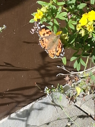
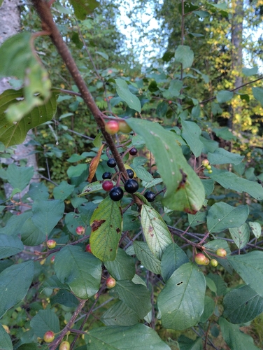
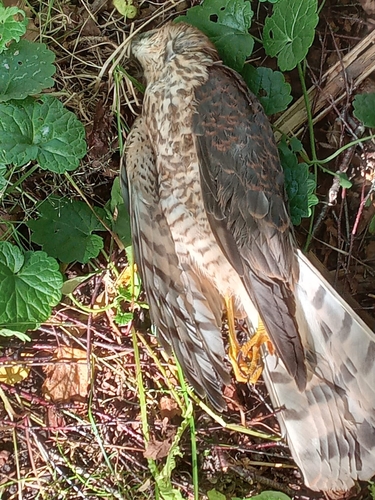
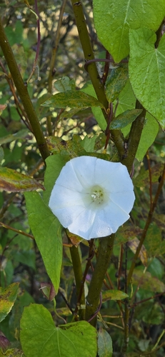
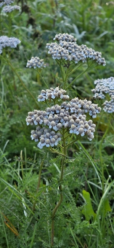
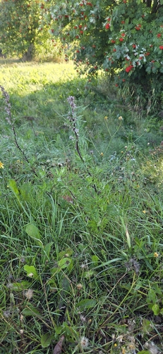
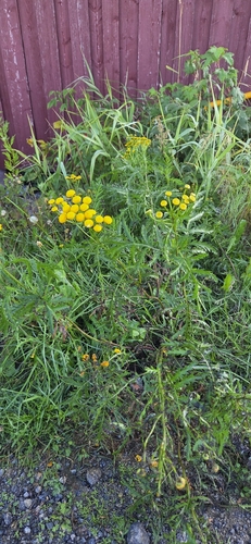

Research-grade observations from iNaturalist (within ~15 mi).
Events
Gallery
Official Identifiers
Tilastokeskus — Statistics Finland
- Kuntanumero
- FIKAU
- Population (Wikidata)
- 15,165
- Wikidata
- Q6009
Kuntanumero via Wikidata P1937
Sources
- • Wikipedia
- • Wikidata
- • iNaturalist
- • Open-Meteo / sunrise-sunset.org
- • Wikipedia Pageviews API
- • Wikidata SPARQL (CC0) — population, area, elevation, inception, head of government, Commons image
- • Tilastokeskus — Statistics Finland — Kuntanumero via Wikidata P1937