Browse / Finland / Northern Ostrobothnia / Kempele
Kempele
Northern Ostrobothniatown

Kempele
Total population
18,829
Founded
1867
Demographic figures from Statistics Finland. Overview below cites Wikipedia and may reference a different year.
City facts
Sister cities
- Elva City
Facts from Wikidata (CC0).
Overview
Kempele is a municipality 11 kilometres (6.8 mi) south of the city of Oulu and 7 kilometres (4.3 mi) east of the Oulu Airport in Northern Finland. Historically it was in the province of Oulu, but today it is in the region of North Ostrobothnia. The population of Kempele is 19,702 and the municipality covers an area of 110.32 square kilometres (42.59 sq mi), of which 0.21 square kilometres (0.081 sq mi) is inland waters (2018-01-01). The population density is 179 inhabitants per square kilometre (460/sq mi). The municipality of Kempele was founded in 1867.
Read more on WikipediaHistory & geography
History
Kempele was first permanently settled about 500 years ago, at a time when the coastline was closer than it is today. Kempele was considered part of Greater Liminka and consisted of only three houses in 1568, when it was called Kempele for the first time in official records. In 1774 full church privileges were granted to Kempele, which meant separation from Liminka and establishment as an autonomous parish. The municipal government was established in 1867.
Excerpted from the corresponding Wikipedia article (CC BY-SA).
Geography
Coordinates & boundaries from the US Census TIGER/Line shapefiles.
Climate
Air quality
Walkability
Amenities nearby
Wildlife & biodiversity
Earthquake history
Photos
Sights & places nearby
Notable people from here
Nearby places in Northern Ostrobothnia
- Duboševica1339.6 mi away · pop. 393
- Topolje1340.9 mi away · pop. 287
- Batina1341 mi away · pop. 594
- Kneževo1343 mi away · pop. 485
- Branjina1344 mi away · pop. 223
- Podolje1344.2 mi away · pop. 88
- Zmajevac1344.8 mi away · pop. 544
- Popovac1345.5 mi away · pop. 738
- Branjin Vrh1346.6 mi away · pop. 764
- Šećerana1347.5 mi away · pop. 461
- Kamenac1347.8 mi away · pop. 129
- Šumarina1347.9 mi away · pop. 421
Geography & sun
Elevation, sunrise/sunset and daylight from Open-Meteo. Solar climatology from NASA POWER.
Nearby airports
Public attention
Pageview totals from the Wikimedia Pageviews API.
Books about this place
Recent natural events nearby
Ground air-quality sensors
Recently spotted species
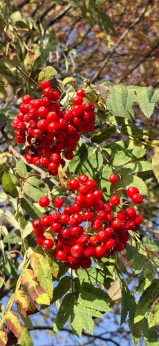
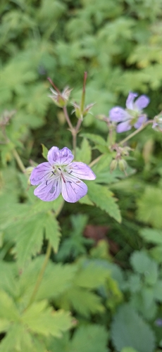
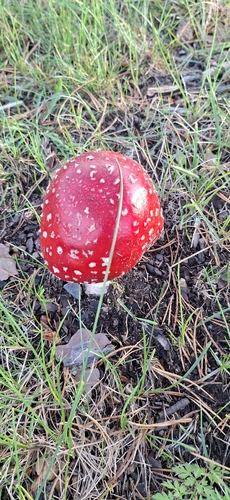
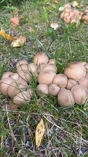
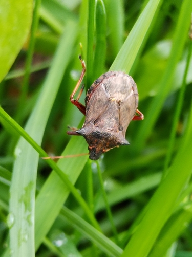
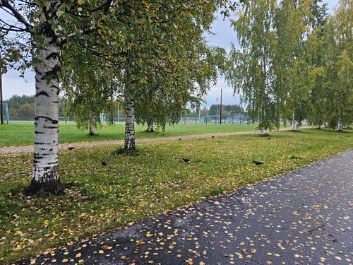
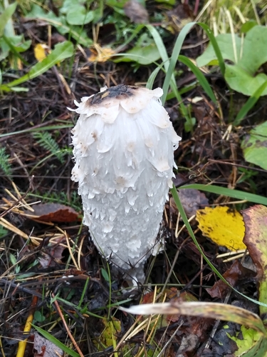
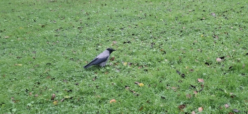
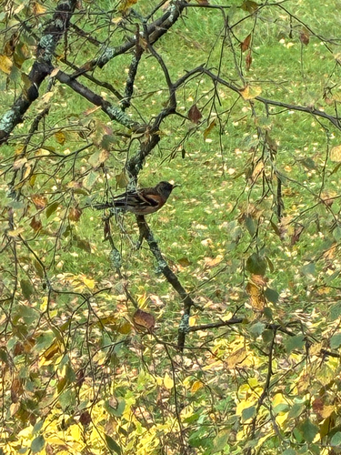
Research-grade observations from iNaturalist (within ~15 mi).
Events
Gallery
Sources
- • Wikipedia
- • Wikidata
- • iNaturalist
- • Open-Meteo / sunrise-sunset.org
- • Wikipedia Pageviews API
- • Wikidata SPARQL (CC0) — population, area, elevation, inception, head of government, Commons image