Browse / Finland / Kainuu / Kuhmo
Kuhmo
Kainuutown

Kuhmo
Total population
9,271
Founded
1865
Demographic figures from Statistics Finland. Overview below cites Wikipedia and may reference a different year.
City facts
Sister cities
Facts from Wikidata (CC0).
Overview
Kuhmo is a town and a municipality in Finland and is located at the south-eastern corner of the Kainuu region. The municipality has a population of 7,300 and covers an area of 5,456.78 square kilometres (2,106.87 sq mi) of which 649.97 km2 (250.95 sq mi) is water. The population density is 1.52 inhabitants per square kilometre (3.9/sq mi). It shares a border of 120 kilometres (75 mi) with Russia. Neighbouring towns are Hyrynsalmi, Lieksa, Nurmes, Ristijärvi, Sotkamo and Suomussalmi. A neighbour city across the Russian border is Kostomuksha. Vartius, one of the border crossing points between Finland and Russia, is located in northern Kuhmo.
Read more on WikipediaHistory & geography
History
The first inhabitants arrived in Kuhmo after the last ice-age, around 8000 BCE. Proof of Stone Age habitation has been found around Ontojärvi and Lammasjärvi. Sami people inhabited Kuhmo area until migration from Karelia and Savonia pushed Sami people up north. The influence of Sami culture is still found in the placenames. Wide spreading water routes are known to have attracted hunters, raiders, merchants and tax collectors since the 9th century. In the Treaty of Nöteborg, the settlement between Sweden and the Novgorod Republic on August 12, 1323, the Kuhmo area belonged to Novgorod. Yet hunters and tax collectors kept on penetrating to the area from west. Swedish interest was to push the border further east. Permanent habitation settled to the area after Gustav I, king of Sweden, had promised tax relief to peasants who would move north. Almost all the habitation was destroyed in the Russo-Swedish war between 1570 and 1595. In the Treaty of Teusina, the region of Kuhmo was annexed into Sweden. In the following centuries, this area was continuously raided in a number of wars and quarrels. In 1809, Finland was annexed from Sweden to the Russian Empire as the Grand Duchy of Finland. For merchants from Karelia and Russia, Kuhmo became a trade route and a place to sell their goods. As a memorial of those merchants, on the market of Kuhmo there stands the statue “Laukunkantaja” (in English, "The Bag Bearer"). In this era, Elias Lönnrot, compiler of the Finnish National Epic Kalevala made his poem-collecting trips via Kuhmo to Karelia. Lönnrot made some of the editing in Kuhmo. Reconstruction of the hut where he has staying can be seen in the Kalevala village. Publishing Kalevala in 1835 fueled birth of Karelianism, which became a major trend in culture spheres towards…
Geography
By area the municipality is the second largest in the region (and the twelfth largest in the country), covering twice the land area of Luxembourg. The population is heavily concentrated in Kuhmo-town. Most of the area is very wild, featuring more than 600 lakes and for the rest extensively forested, providing a home to abundant wild life that includes Eurasian brown bears, Eurasian wolves and Finnish forest reindeer. The Ministry of Agriculture and Forestry has set Kuhmo as a part of Eastern Finland´s stable bear population area. According to the plan, the population density of bears in this area will be maintained higher than in the rest of the country. The wolf population is also dense by comparison to the rest of the country. In consequence, the number of reindeer has decreased lately. The topography is made up of low hills, of which the most significant are near the Russian frontier on the eastern side. To the south, Kuhmo is bordered by North Karelia. Several nature reserves have been founded in Kuhmo for the protection of the frontier wilderness. Forest administration maintains several hiking routes on the reserves and almost all are accessible to the public. Districts: * Akonlahti * Hankaranta * Jaurakko * Kalevala * Kanninlampi * Kantola * Keitaala * Kontio * Korkeamäki * Kuhmoniemi * Levälahti * Pajakka * Piilola * Saarikoski * Sormula * Suvanto Villages: * Haukela * Hietaperä * Härmänkylä * Hukkajärvi * Iivantiira * Jonkeri * Juonto * Juttua * Jyrkkä * Jämäs * Kalliojoki * Katerma * Kattilakoski * Kiekinkoski * Kivikiekki * Korpisalmi * Kuumu * Kuusamonkylä * Lammasperä * Lauvuskylä * Lentiira * Lentua * Niemiskylä * Niva * Saunajärvi * Timoniemi * Rasti * Seilonen * Sylväjä * Vartius * Vepsä * Vieksi * Viiksimo * Vuosanka * Ypykkävaara Rimpi is…
Excerpted from the corresponding Wikipedia article (CC BY-SA).
Geography
Coordinates & boundaries from the US Census TIGER/Line shapefiles.
Climate
Air quality
Walkability
Amenities nearby
Wildlife & biodiversity
Earthquake history
Photos
Sights & places nearby
Notable people from here
Nearby places in Kainuu
- Jyrkänkylä7.2 mi away
- Juolunka16.5 mi away
- Korkea19.4 mi away
- Jonkeri24.9 mi away
- Mali Bukovec1325.8 mi away · pop. 729
- Veliki Bukovec1326 mi away · pop. 660
- Dubovica1326.3 mi away · pop. 312
- Struga1326.3 mi away · pop. 461
- Otok Virje1326.7 mi away · pop. 251
- Novo Selo Podravsko1326.8 mi away · pop. 221
- Sesvete Ludbreške1326.9 mi away · pop. 492
- Kapela Podravska1327 mi away · pop. 466
Geography & sun
Elevation, sunrise/sunset and daylight from Open-Meteo. Solar climatology from NASA POWER.
Nearby airports
Public attention
Pageview totals from the Wikimedia Pageviews API.
Books about Kuhmo
Search results from Open Library.
Recent natural events nearby
Ground air-quality sensors
Recently spotted species
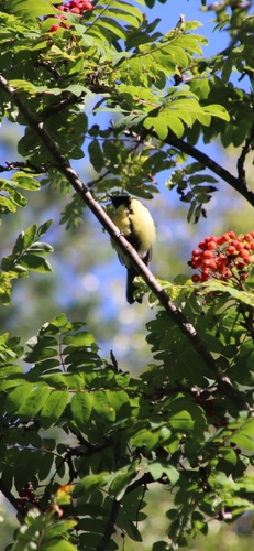
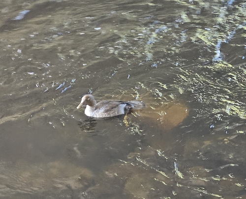
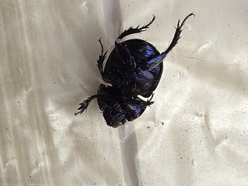
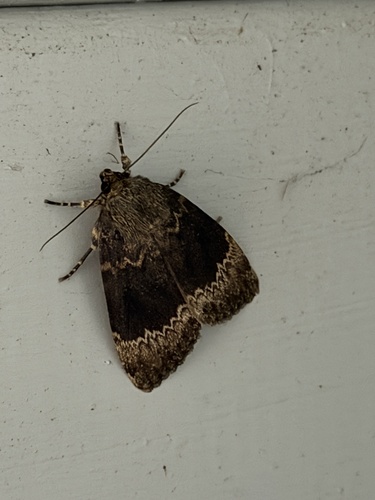
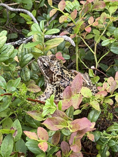
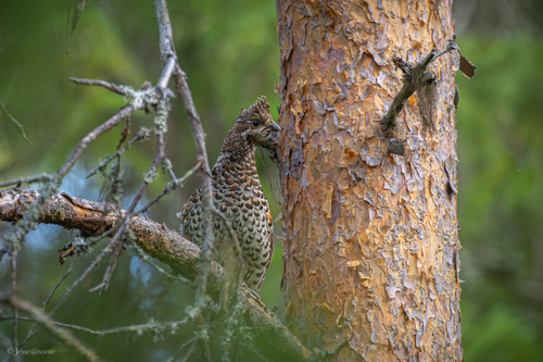
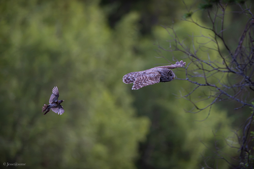
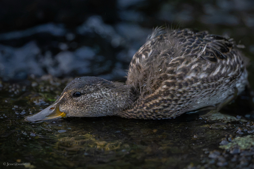
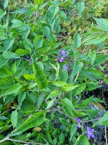
Research-grade observations from iNaturalist (within ~15 mi).
Events
Gallery
Official Identifiers
Tilastokeskus — Statistics Finland
- Kuntanumero
- FIKUH
- Population (Wikidata)
- 7,582
- Wikidata
- Q939771
Kuntanumero via Wikidata P1937
Sources
- • Wikipedia
- • Wikidata
- • iNaturalist
- • Open-Meteo / sunrise-sunset.org
- • Wikipedia Pageviews API
- • Open Library
- • Tilastokeskus — Statistics Finland — Kuntanumero via Wikidata P1937