Browse / Finland / Northern Savonia / Kuopio
Kuopio
Northern Savoniacity

Kuopio
Total population
126,572
Founded
1653
Air quality index
Demographic figures from Statistics Finland. Overview below cites Wikipedia and may reference a different year.
City facts
Sister cities
Facts from Wikidata (CC0).
Overview
Kuopio is a city in Finland and the regional capital of North Savo. It is located in the Finnish Lakeland. The population of Kuopio is approximately 127,000, while the sub-region has a population of approximately 148,000. It is the 8th most populous municipality in Finland, and the seventh most populous urban area in the country.
Read more on WikipediaHistory & geography
History
In the 1550s, the Finnish Church, under the influence of Protestant reformer Mikael Agricola, established parish church in Kuopionniemi. Governor Per Brahe the Younger founded the settlement of Kuopio in 1653. However, the official date of the city's founding is November 17, 1775, when King Gustav III of Sweden ordered the formal establishment of the city as the governmental seat of Savo-Karjala Province (Swedish: Savolax och Karelens län, Finnish: Savonlinnan ja Karjalan lääni). Following the conclusion of the Finnish War in 1809, which occurred in the context of the broader Napoleonic Wars, Finland would be annexed by the Russian Empire as an autonomous Grand Duchy. In the 19th century, Eastern Finland would see considerable infrastructural investment and modernization, particularly in the realm of transportation. The development of infrastructure would lead to the further economic integration of previously isolated, inland areas, with economic and commercial hubs on the Baltic Coast. Major public works projects built during this time include the Saimaa Canal in 1856, which opened up a summer route between Lake Saimaa and the Baltic Sea, and the Savo railway in 1889, Kuopio's original train station was built the same year and would serve as the city's main rail terminus until 1934, when it was demolished replaced by the current Kuopio railway station. Following World War II, Kuopio's population would grow significantly due in part to the settlement of Karelian evacuees and a high birth rate. Population growth necessitated the expansion of schools. At the end of the 1940s, support was also provided for school transports and the provision of free school meals, expanding a welfare program that had been active since 1902. In the 1960s, the construction of suburbs began…
Geography
The city is surrounded by Lake Kallavesi, and several parts of it are built on islands. With an area of Lake Kallavesi is the tenth largest lake in Finland. In the wake of the Yoldia Sea, which followed the Weichselian glaciation and preceded the Baltic Sea, there are ancient beaches up to 140 m above the current sea level, of which the current Lake Kallavesi is 82 m above sea level. Kuopio's ample waterfronts and islands are also used in the Saaristokaupunki (lit. Archipelago city) -project, the biggest residential area currently being built in Finland. Saaristokaupunki will accommodate a total of 14,000 inhabitants in 2015. All houses will be situated no more than from the nearest lakeshore. Kuopio Market Square is the undisputed center of the city The environment of the city is quite distinctive; the surface shapes of the waterfront-lined center are so variable that a flat property is a desired rarity. The settlement has spread outside the center of Kuopio according to a dense and sparse finger model that is affordable for public transport, and the new districts have been built in a municipal drive at once; for example, the Saaristokaupunki was banned for building for the previous 25 years, and this Kuopio zoning tradition has a long history. With the surrounding lakes, the shoreline in Kuopio is 4,760 kilometers. The terrain is also characterized by rich forests, and the clear center of the Kuopio's lund forest is mainly located in the area between Kuopio, Nilsiä and Siilinjärvi. Of the Finnish municipalities, Kuopio has the second largest number of summer cottages and holiday homes. In 2013, the number of summer cottages was 8,684. The number of summer homes in Kuopio has increased in recent years due to municipal associations. Due to the abundance of water…
Excerpted from the corresponding Wikipedia article (CC BY-SA).
Geography
Coordinates & boundaries from the US Census TIGER/Line shapefiles.
Climate
10-year averages from ERA5 reanalysis (Open-Meteo).
Air quality
Current readings from Open-Meteo Air Quality API (Copernicus CAMS European reanalysis).
Walkability
Amenities nearby
Wildlife & biodiversity
Most-observed species
- Common ChaffinchFringilla coelebs Linnaeus, 1758 · Aves1,069
- RedwingTurdus iliacus Linnaeus, 1758 · Aves682
- BrimstoneGonepteryx rhamni (Linnaeus, 1758) · Insecta676
- Willow WarblerPhylloscopus trochilus (Linnaeus, 1758) · Aves643
- Colt's-footTussilago farfara L. · Magnoliopsida577
- Black-headed GullChroicocephalus ridibundus (Linnaeus, 1766) · Aves545
- Great TitParus major Linnaeus, 1758 · Aves544
- FieldfareTurdus pilaris Linnaeus, 1758 · Aves516
Citizen-science & research observations from the Global Biodiversity Information Facility (GBIF).
Earthquake history
Events from the USGS Earthquake Catalog (global) (FDSN Event Web Service).
Photos
Sights & places nearby
Notable people from here


People born within ~10 km, from Wikidata (CC0). Click any name for their Wikipedia article.
Nearby places in Northern Savonia
Geography & sun
Elevation, sunrise/sunset and daylight from Open-Meteo. Solar climatology from NASA POWER.
Nearby airports
Public attention
Pageview totals from the Wikimedia Pageviews API.
Books about this place
Recent natural events nearby
Ground air-quality sensors
Recently spotted species
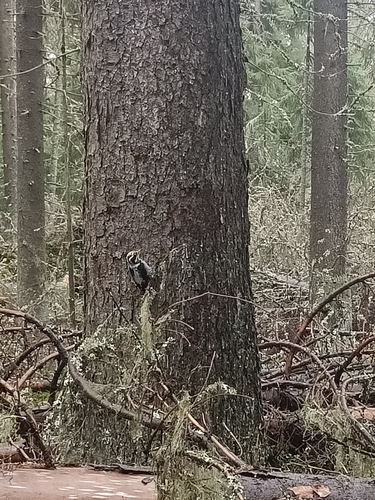
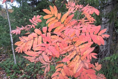
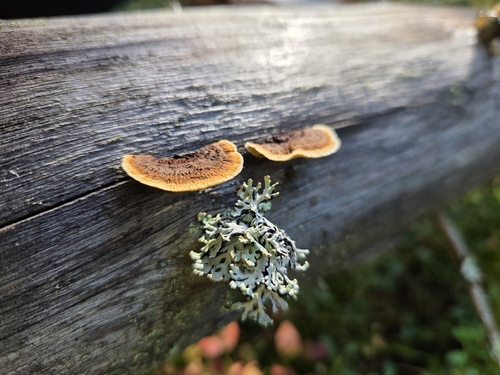
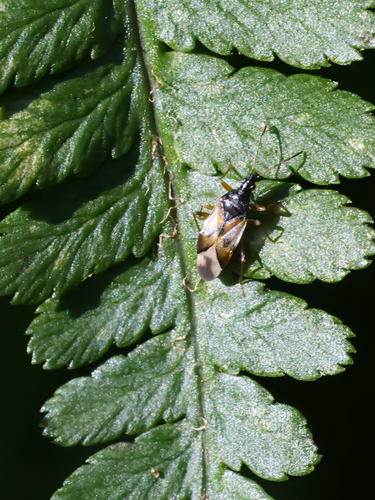
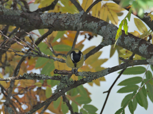
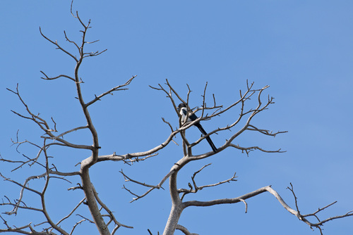
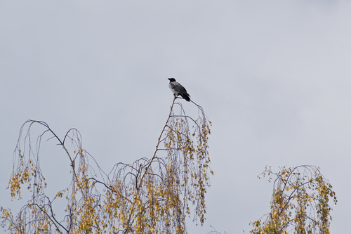
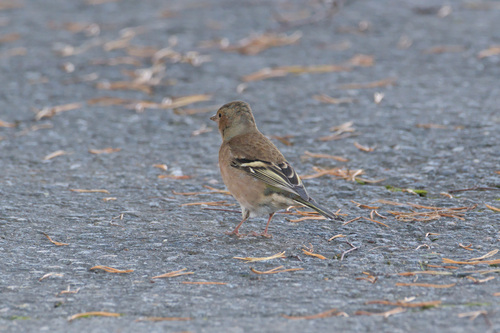
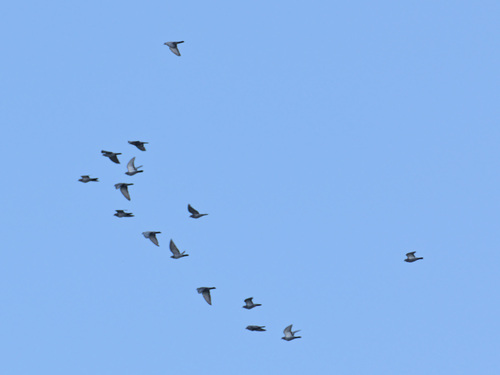
Research-grade observations from iNaturalist (within ~15 mi).
Events
Gallery
Sources
- • Wikipedia
- • Open-Meteo (ERA5 reanalysis)
- • Wikidata
- • Open-Meteo Air Quality (CAMS)
- • USGS Earthquake Catalog (global feed)
- • GBIF (Global Biodiversity Information Facility)
- • iNaturalist
- • Open-Elevation
- • Open-Meteo / sunrise-sunset.org
- • Wikipedia Pageviews API
- • Wikidata SPARQL (CC0) — population, area, elevation, inception, head of government, Commons image