Browse / Finland / Päijänne Tavastia / Lahti
Lahti
Päijänne Tavastiacity

Lahti
Total population
121,890
Founded
1905
Demographic figures from Statistics Finland. Overview below cites Wikipedia and may reference a different year.
City facts
Sister cities
Facts from Wikidata (CC0).
Overview
Lahti is a city in Finland and the regional capital of Päijät-Häme. It is located in the Finnish Lakeland. The population of Lahti is approximately 122,000, while the sub-region has a population of approximately 205,000. It is the 9th most populous municipality in Finland, and the sixth most populous urban area in the country.
Read more on WikipediaHistory & geography
History
Lahti was first mentioned in documents in 1445. The village belonged to the parish of Hollola and was located at the medieval trade route of Ylinen Viipurintie, which linked the towns of Hämeenlinna and Viipuri. The completion of the Riihimäki – St. Petersburg railway line in 1870 and the Vesijärvi canal in 1871 turned Lahti into a lively station, and industrial installations began to spring up around it. For a long time, the railway station at Vesijärvi Harbour was the second busiest station in Finland. Craftsmen, merchants, a few civil servants and a lot of industrial workers soon mixed in with the existing agricultural peasantry. On 19 June 1877, almost the entire village was burned to the ground. However, the accident proved to be a stroke of luck for the development of the place, as it led to the authorities resuming their deliberations about establishing a town in Lahti. The village was granted market town rights by Emperor Alexander II of Russia in 1878 In December 2018, Lahti became the first new university city in Finland after Rovaniemi in 1979 when the Parliament accepted a change in the university law. LUT University nowadays consists of two campuses, Lappeenranta and Lahti.
Geography
The terrain of Lahti is dominated by the first Salpausselkä ridge, a terminal moraine that cuts through the city from west to east. The city is located in the transition from the southern coastal area to the Finnish Lakeland; prominent to the north of the Salpausselkä are rocky hills and fragmented lakes, while its south side is dominated by forests and small rivers. The divide is also apparent in the soil, which mostly consists of till in the north and clay in the south. The biggest lake is Vesijärvi which also is a gateway to Central Finland via Lake Päijänne. There is also a pond called Pikku-Vesijärvi ("Little Vesijärvi") near the Lanu-puisto park. The area of the city of Lahti is divided in two ways: first, the 40 individually numbered districts (), and second, the 9 greater areas (), which are divided into 41 statistical districts () and further into 169 statistical areas (). The definitions of the districts and statistical districts do not necessarily match each other. Below are listed the districts: # Keski-Lahti # Kartano # Paavola # Niemi # Kiveriö # Kivimaa # Mukkula # Kilpiäinen # Pesäkallio # Kytölä # Viuha # Kunnas # Ahtiala # Koiskala # Myllypohja # Möysä # Järvenpää # Kolava # Kujala # Kerinkallio # Ämmälä # Renkomäki # Nikkilä # Laune # Asemantausta # Sopenkorpi # Hennala # Jokimaa # Okeroinen # Kärpänen # Pirttiharju # Salpausselkä # Jalkaranta # Villähde # Nastola # Uusikylä # Seesta # Ruuhijärvi # Immilä # Pyhäntaka Under the Köppen climate classification, Lahti has a humid continental climate (Dfb). Summers are usually warm in the city, with the average daily temperature in July exceeding over 23 °C (73.6 °F) and also having had the most 25 °C (77 °F) (or more) days in the last two decades, alongside Kouvola. Winters are…
Excerpted from the corresponding Wikipedia article (CC BY-SA).
Geography
Coordinates & boundaries from the US Census TIGER/Line shapefiles.
Climate
Air quality
Walkability
Amenities nearby
Wildlife & biodiversity
Earthquake history
Photos
Sights & places nearby
Notable people from here


People born within ~10 km, from Wikidata (CC0). Click any name for their Wikipedia article.
Nearby places in Päijänne Tavastia
Geography & sun
Elevation, sunrise/sunset and daylight from Open-Meteo. Solar climatology from NASA POWER.
Nearby airports
Public attention
Pageview totals from the Wikimedia Pageviews API.
Books about this place
Recent natural events nearby
Ground air-quality sensors
Recently spotted species
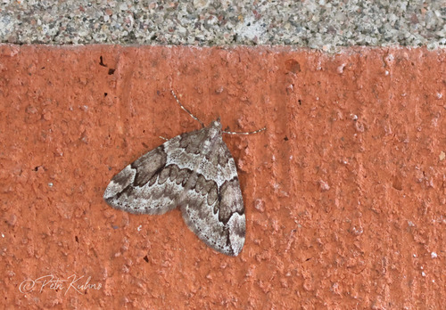
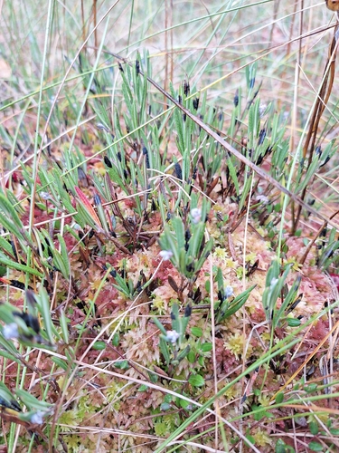
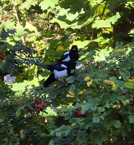
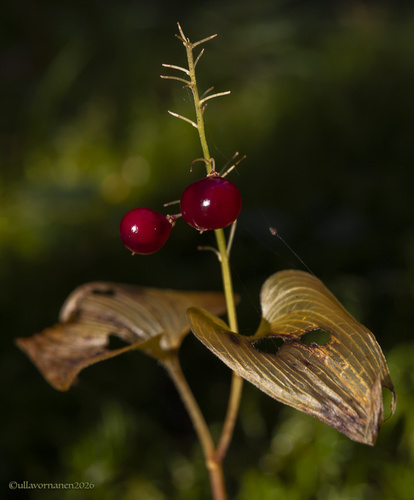
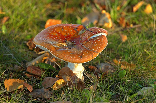
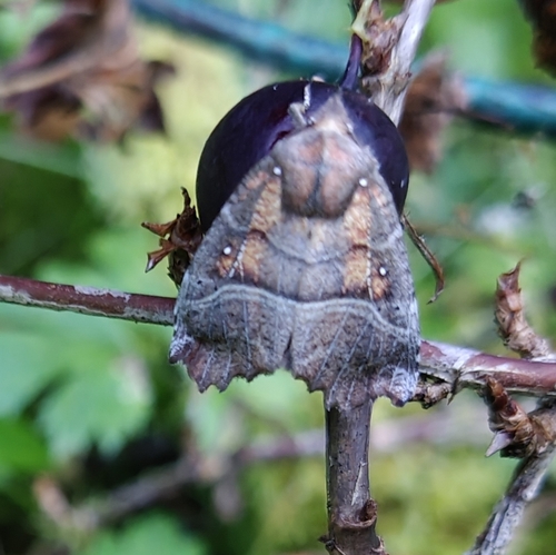
Research-grade observations from iNaturalist (within ~15 mi).
Events
Notable, recurring, and historical events associated with Lahti, sourced from Wikidata.
- World Esperanto Congress 2019Jul 20, 2019recurring event edition
- powerlifting at the 1997 World Games – men's heavyweightJan 1, 1997sporting event
- Jan 1, 1997
- Jan 1, 1997
- Q11741469Mar 1, 1958sporting event
- Q9338005Jan 1, 1958sporting event
- Jan 1, 1926
Source: Wikidata (CC0).
Gallery
Sources
- • Wikipedia
- • Wikidata
- • iNaturalist
- • Open-Meteo / sunrise-sunset.org
- • Wikipedia Pageviews API
- • Wikidata SPARQL (CC0) — population, area, elevation, inception, head of government, Commons image