Browse / Finland / Southern Ostrobothnia / Latikka
Latikka
Southern Ostrobothniavillage
Air quality index
Demographic figures from Statistics Finland. Overview below cites Wikipedia and may reference a different year.
City facts
Overview
Latikka, a village in Southern Ostrobothnia, Finland, forms part of the country's settled landscape. Up-to-date population figures for this locality are not available in the open datasets we monitor. Geographically it lies in the northern hemisphere at a subarctic latitude (62.851°, 22.924°). Meteorological summaries report average highs near 47.8°F and lows near 34.6°F, together with about 26.5 in of annual precipitation (a moderate total). The latitude suggests short summers and long, very cold winters. Open solar datasets indicate about 902 kWh/m² of solar irradiance per year, combined with sunshine for roughly 35% of daylight hours. Additional figures on demographics, climate, geography and points of interest appear in the sections that follow, all drawn from open public datasets.
Summary composed automatically from structured open data on this page. See our Terms for details.
History & geography
Geography
Coordinates & boundaries from the US Census TIGER/Line shapefiles.
Climate
10-year averages from ERA5 reanalysis (Open-Meteo).
Air quality
Current readings from Open-Meteo Air Quality API (Copernicus CAMS European reanalysis).
Walkability
Amenities nearby
Wildlife & biodiversity
Most-observed species
- Black-headed GullChroicocephalus ridibundus (Linnaeus, 1766) · Aves2,170
- Eurasian KestrelFalco tinnunculus Linnaeus, 1758 · Aves1,522
- Great TitParus major Linnaeus, 1758 · Aves1,174
- Bohemian WaxwingBombycilla garrulus (Linnaeus, 1758) · Aves892
- Common GoldeneyeBucephala clangula (Linnaeus, 1758) · Aves864
- Eurasian Blue TitCyanistes caeruleus (Linnaeus, 1758) · Aves788
- Eurasian Tree SparrowPasser montanus (Linnaeus, 1758) · Aves761
- Western JackdawColoeus monedula (Linnaeus, 1758) · Aves699
Citizen-science & research observations from the Global Biodiversity Information Facility (GBIF).
Earthquake history
Events from the USGS Earthquake Catalog (global) (FDSN Event Web Service).
Photos
Sights & places nearby
Notable people from here


People born within ~10 km, from Wikidata (CC0). Click any name for their Wikipedia article.
Nearby places in Southern Ostrobothnia
- Soini40.5 mi away · pop. 2,367
- Ruškovica1213.7 mi away · pop. 56
- Kompator1214.5 mi away · pop. 80
- Ludinica1215.5 mi away · pop. 14
- Katoličko Selišće1215.7 mi away · pop. 156
- Moslavačka Slatina1216.1 mi away · pop. 72
- Mala Ludina1216.4 mi away · pop. 159
- Desni Dubrovčak1216.6 mi away · pop. 115
- Gornja Vlahinićka1216.7 mi away · pop. 271
- Velika Ludina1217 mi away · pop. 751
- Vidrenjak1217 mi away · pop. 552
- Krajiška Kutinica1217 mi away · pop. 73
Geography & sun
Elevation, sunrise/sunset and daylight from Open-Meteo. Solar climatology from NASA POWER.
Nearby airports
Public attention
Books about this place
Recent natural events nearby
Ground air-quality sensors
Recently spotted species
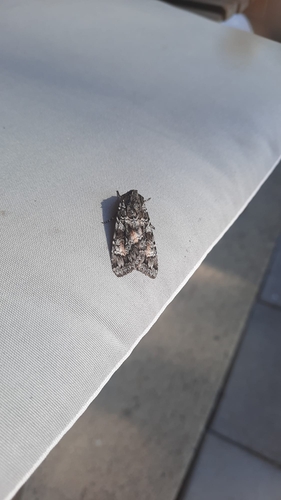
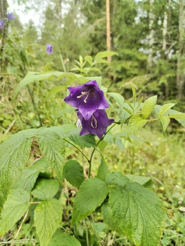
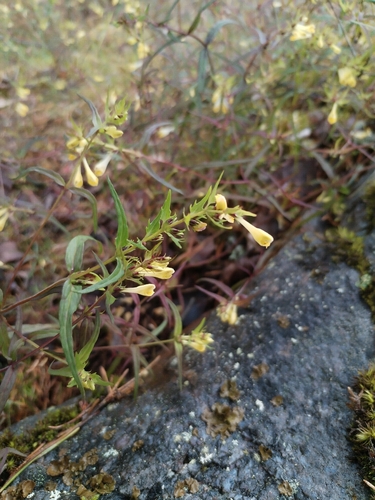
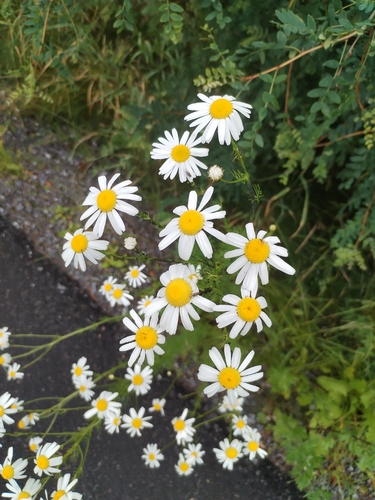
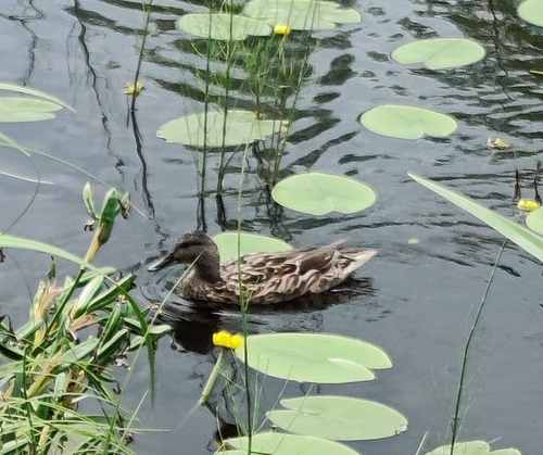
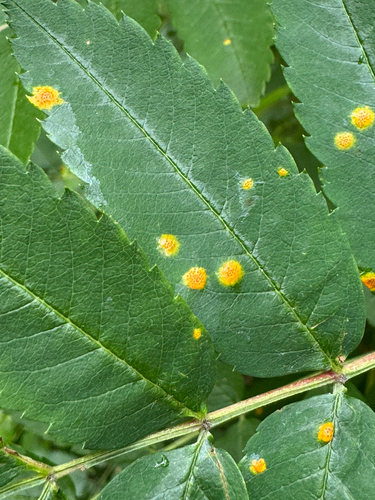
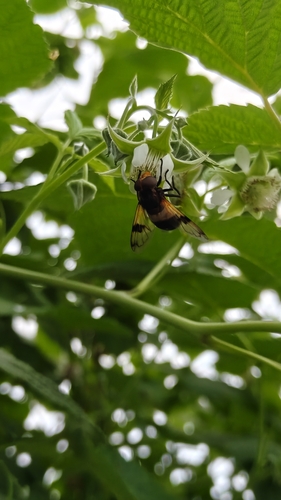
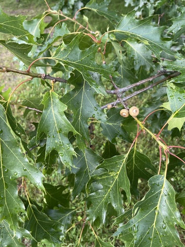
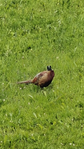
Research-grade observations from iNaturalist (within ~15 mi).
Events
Gallery
Geotagged photos within ~6 miles of Latikka, from Wikimedia Commons contributors.
.jpg) 1 mi
1 mi 1 mi
1 mi 1 mi
1 mi 1 mi
1 mi 1 mi
1 mi 1 mi
1 mi 1 mi
1 mi 1.1 mi
 1.1 mi
 1.5 mi
 1.5 mi
 1.5 mi
 1.5 mi
 1.6 mi
 1.6 mi
 1.8 mi
 2.3 mi
 3.3 mi
 3.5 mi
 3.5 mi
 3.7 mi
 3.7 mi
 4.1 mi
 4.2 mi
Photos via Wikimedia Commons — see each image page for license & attribution.
Sources
- • Open-Meteo (ERA5 reanalysis)
- • Wikimedia Commons
- • Wikidata
- • Open-Meteo Air Quality (CAMS)
- • USGS Earthquake Catalog (global feed)
- • GBIF (Global Biodiversity Information Facility)
- • iNaturalist
- • Open-Meteo / sunrise-sunset.org