Browse / Finland / Åland / Lemland
Lemland
Ålandtown

Lemland
Total population
2,127
Demographic figures from Statistics Finland. Overview below cites Wikipedia and may reference a different year.
City facts
Facts from Wikidata (CC0).
Overview
Lemland is a municipality of Åland, an autonomous territory of Finland. Covering a land area of 113.21 km2 (43.71 sq mi), it had a population of 2,133 in 2025. The majority of Lemland's population speaks Swedish. The Lemström Canal, carved in 1882, separates Åland’s main island from the Lemland peninsula. Historically, the municipality has been an important maritime hub, given its strategic location in the Baltic Sea.
Read more on WikipediaHistory & geography
History
Evidence of early human activity in Åland dates back to around 5000 BC, with the early seasonal settlement developing into a permanent settlement later. During the Viking era (8th to 11th century CE), the islands assumed strategic importance. Aland came under the Swedish influence in the 13th century. During the Finnish War in 1808, the Swedish king Gustav IV Adolf had his headquarters in the Lemland parsonage. As per Håkan Skogsjö, the ancestry of the permanently residing population of Lemland and owners of farmsteads could be traced back to the 18th century.
Geography
Lemland is a municipality located in the autonomous region of Åland. The municipality spans an area of approximately of which is covered by water. The Lemström Canal, carved in 1882, connects the sea inlet east of Mariehamn, the capital of Åland and Lumparn. There is a bridge over the canal.
Excerpted from the corresponding Wikipedia article (CC BY-SA).
Geography
Coordinates & boundaries from the US Census TIGER/Line shapefiles.
Climate
Air quality
Walkability
Amenities nearby
Wildlife & biodiversity
Earthquake history
Photos
Sights & places nearby
Notable people from here


People born within ~10 km, from Wikidata (CC0). Click any name for their Wikipedia article.
Nearby places in Åland
- Åva43.3 mi away
- Bosna982 mi away · pop. 97
- Gornja Velika983.7 mi away · pop. 62
- Komin984.2 mi away · pop. 204
- Srednja Velika984.3 mi away · pop. 58
- Filipovići984.9 mi away · pop. 70
- Kraljev Vrh985.1 mi away
- Žabnjak985.1 mi away
- Gradine985.4 mi away
- Strmec985.5 mi away
- Preseka985.5 mi away · pop. 104
- Donja Velika985.7 mi away · pop. 68
Geography & sun
Elevation, sunrise/sunset and daylight from Open-Meteo. Solar climatology from NASA POWER.
Nearby airports
Public attention
Pageview totals from the Wikimedia Pageviews API.
Books about Lemland
Search results from Open Library.
Recent natural events nearby
Ground air-quality sensors
Recently spotted species
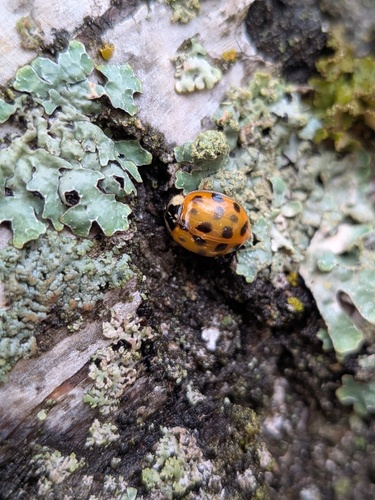
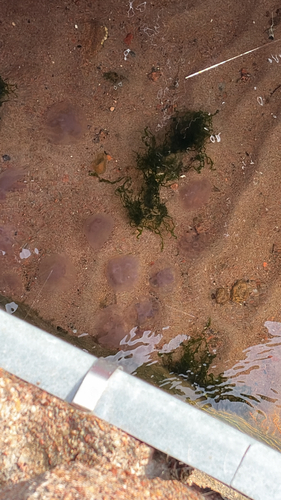
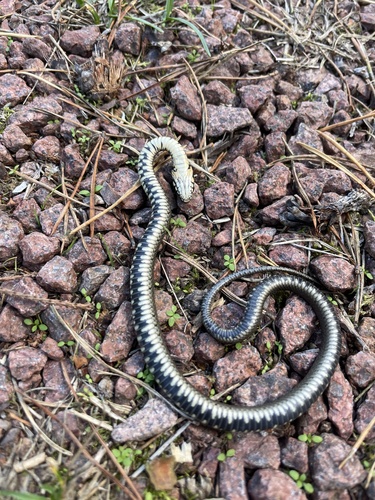
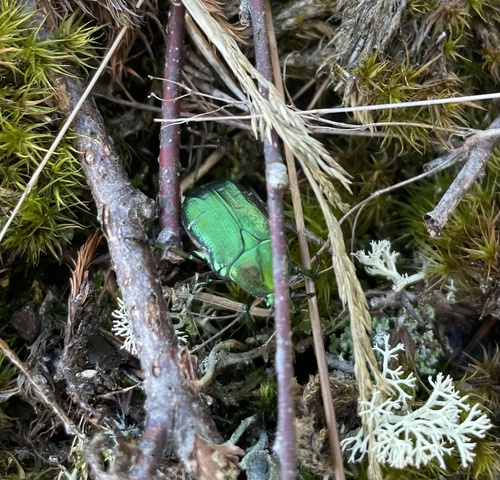
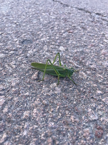
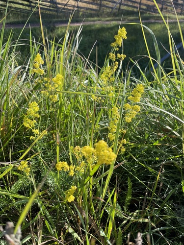
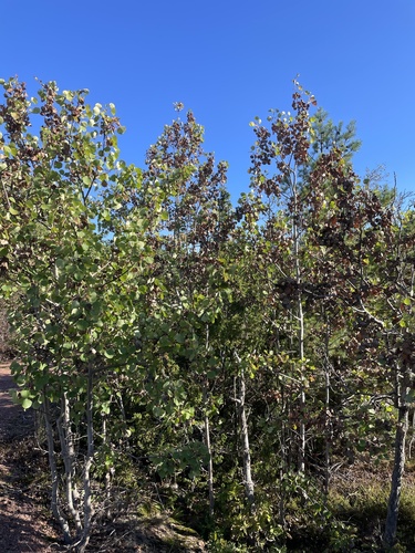
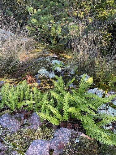
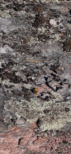
Research-grade observations from iNaturalist (within ~15 mi).
Events
Gallery
Sources
- • Wikipedia
- • Wikidata
- • iNaturalist
- • Open-Meteo / sunrise-sunset.org
- • Wikipedia Pageviews API
- • Open Library