Browse / Finland / Southwest Finland / Lieto
Lieto
Southwest Finlandtown

Lieto
Total population
20,166
Demographic figures from Statistics Finland. Overview below cites Wikipedia and may reference a different year.
City facts
Sister cities
Facts from Wikidata (CC0).
Overview
Lieto is a town and municipality of Finland.
Read more on WikipediaHistory & geography
History
Archaeological findings in Lieto indicate that the area has been inhabited since the Stone and Bronze Ages. Vanhalinna of Lieto is one of Finland's ancient hillforts. Numerous Iron Age and medieval artifacts have been discovered in the hillfort area of Vanhalinna. A document from 1331 survives in which Lieto's parish priest, Pietari, is mentioned for the first time. As a result, the founding year of the Lieto parish and church is considered to be 1331. In June 2014, the Government of Finland decided, under the 2013 municipal structure law, to merge Tarvasjoki with Lieto. The merger came into effect on 1 January 2015. In May 2022, the municipal council of Lieto decided to adopt the status of a town. The proposal was made by municipal manager Mika Ingi, who argued that town status could improve Lieto's position within the new wellbeing services county.
Geography
Lieto's landscape is dominated by fields, intersected by the Aura River and its largest tributary, the Savijoki. The Aura River features three significant rapids within Lieto: Nautelankoski, Vierunkoski, and Vääntelänkoski. The town's highest point is Hyypiövuori, rising to 90 meters. In the Tarvasjoki area annexed to Lieto in 2015 flows to the Paimio River and its largest tributary, the Tarvasjoki. Lieto's only Natura 2000 site, Nautelankoski, is a large rapids area surrounded by various habitat types, such as riverbank groves, rocky meadows, and grasslands. The town of Lieto is divided into seven (7) districts. These cover the entire city area and are used in statistical reporting. * Asemanseutu * Ilmarinen * Kirkonseutu * Littoinen * Loukinainen * Tarvasjoki * Yliskulma Alhojoki, Ankka, Hakula, Hihnala (Hihna), Hiisi, Huilu, Hyssälä, Hyvättylä, Ilmarinen, Inkoinen, Kahloja, Karvala, Kaskala, Kaurinkoski, Keppola, Ketola, Kilpijoki, Kiusala, Kurkela, Käipilä, Kärpijoki, Laitio, Lintula, Littoinen, Lommola, Loukinainen, Mellilä, Moisio, Mäkkylä, Nautela, Nuolemo, Paappala, Pahka, Pettinen, Pokkola, Pränikkälä, Punittu, Puntamäki, Pyhältö, Raukkala, Rähälä, Saukonoja, Sauvala, Sikilä, Sillilä, Taatila, Tammentaka, Teijula, Tootula, Torstila, Vankio, Vanhalinna, Viikka, Vintala, Vääntelä, Yliskulma At the end of 2020, Lieto had 20,146 inhabitants, of whom 16,906 lived in urban areas, 3,121 in sparsely populated areas, and 119 had an unknown residence. The urbanization rate is 84.4%. The urban population is divided into six urban areas: {| class="wikitable sortable" ! # !! Urban Area !! Population (31 Dec 2020) |- | 1 || Turku Central Urban Area* || align="right" | 14,319 |- | 2 || Lieto Railway Area* || align="right" | 1,152 |- | 3 || Tarvasjoki Church Village…
Excerpted from the corresponding Wikipedia article (CC BY-SA).
Geography
Coordinates & boundaries from the US Census TIGER/Line shapefiles.
Climate
Air quality
Walkability
Amenities nearby
Wildlife & biodiversity
Earthquake history
Photos
Sights & places nearby
Notable people from here
Geography & sun
Elevation, sunrise/sunset and daylight from Open-Meteo. Solar climatology from NASA POWER.
Nearby airports
Public attention
Pageview totals from the Wikimedia Pageviews API.
Books about this place
Recent natural events nearby
Ground air-quality sensors
Recently spotted species
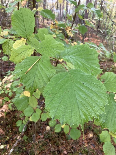
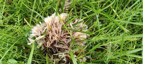
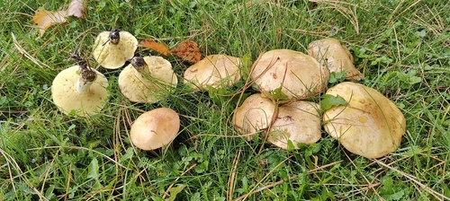
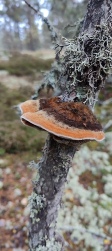
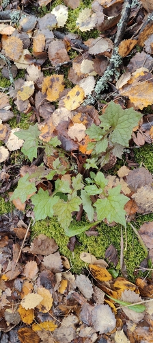
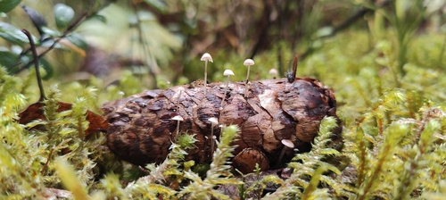
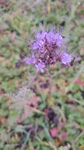
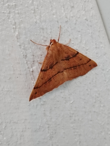
Research-grade observations from iNaturalist (within ~15 mi).
Events
Gallery
Official Identifiers
Tilastokeskus — Statistics Finland
- Kuntanumero
- FILEO
- Population (Wikidata)
- 20,637
- Wikidata
- Q1017108
Kuntanumero via Wikidata P1937
Sources
- • Wikipedia
- • Wikidata
- • iNaturalist
- • Open-Meteo / sunrise-sunset.org
- • Wikipedia Pageviews API
- • Wikidata SPARQL (CC0) — population, area, elevation, inception, head of government, Commons image
- • Tilastokeskus — Statistics Finland — Kuntanumero via Wikidata P1937