Browse / Finland / Southwest Finland / Littoinen
Littoinen
Southwest Finlandtown

Littoinen
Demographic figures from Statistics Finland. Overview below cites Wikipedia and may reference a different year.
City facts
Overview
Littoinen is a village in south-western Finland, centred on Lake Littoinen. The village is shared between the town of Kaarina and the municipality of Lieto, and it borders the regional centre of Turku. It started growing after the founding of a broadcloth factory by Lake Littoinen in 1739, and the railway connection built in 1899 increased its growth. In the 1960s the operations of the broadcloth factory were discontinued due to decreased demand, but the premises still exist and have been transformed into residential and commercial spaces. The factory's heritage is still visible in the village's place and street names.
Read more on WikipediaHistory & geography
History
The origin of the town dates back to 1739 when merchants Henric Rungeen and Esaias Wechter were granted authorization to establish a textile factory on the shores of Lake Littoistenjärvi. This textile industry thrived in Littoinen until 1969, when the factory operations were relocated to the Raunistula district of Turku. Littoinen obtained its own railway station along the Helsinki-Turku railway line in 1899. In 1965, Huonekalutehdas Korhonen moved part of its product manufacturing to Littoisen in Kaarina on the border of Turku. In 1982, after the third construction phase of the factory, the production of furniture products moved entirely to Littoisen, where Artek now manufactures furniture, small chairs, armchairs and tables designed by Alvar Aalto. The furniture factory Korhonen was acquired by Artek in 2014 and Artek established a new company called A-Factory for production. In recent years, Teleste, a company specializing in antenna equipment and central radio devices, relocated its headquarters and factory to Littoinen, near the Turku border.
Excerpted from the corresponding Wikipedia article (CC BY-SA).
Geography
Coordinates & boundaries from the US Census TIGER/Line shapefiles.
Climate
Air quality
Walkability
Amenities nearby
Wildlife & biodiversity
Earthquake history
Photos
Sights & places nearby
Notable people from here


People born within ~10 km, from Wikidata (CC0). Click any name for their Wikipedia article.
Nearby places in Southwest Finland
Geography & sun
Elevation, sunrise/sunset and daylight from Open-Meteo. Solar climatology from NASA POWER.
Nearby airports
Public attention
Pageview totals from the Wikimedia Pageviews API.
Books about this place
Recent natural events nearby
Ground air-quality sensors
Recently spotted species

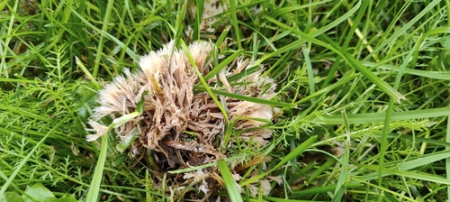
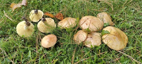
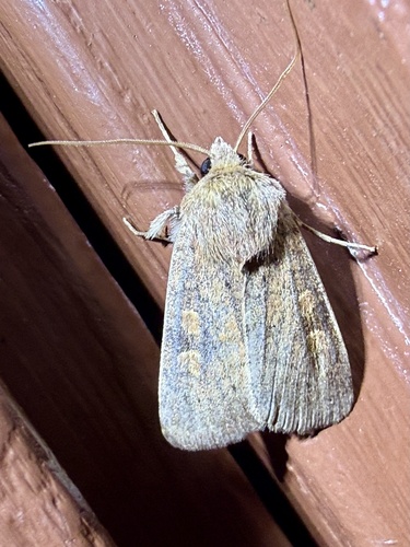
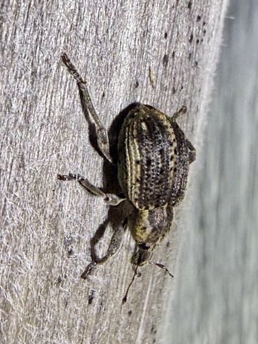
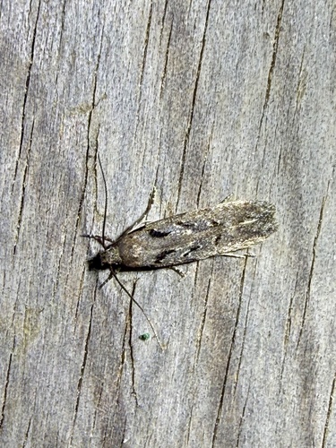
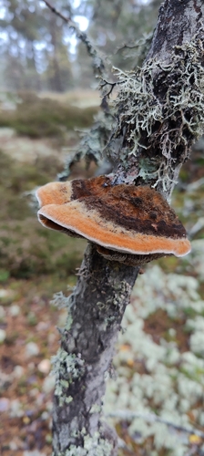
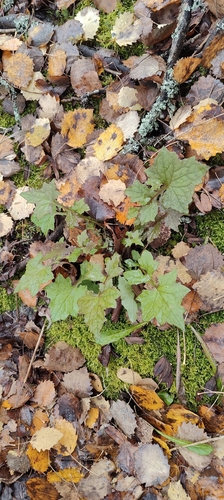
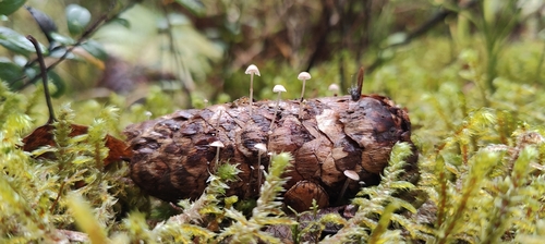
Research-grade observations from iNaturalist (within ~15 mi).
Events
Gallery
Sources
- • Wikipedia
- • Wikidata
- • iNaturalist
- • Open-Meteo / sunrise-sunset.org
- • Wikipedia Pageviews API
- • Wikidata SPARQL (CC0) — population, area, elevation, inception, head of government, Commons image