Browse / Finland / Uusimaa / Lohja
Lohja
Uusimaatown

Lohja
Total population
45,446
Demographic figures from Statistics Finland. Overview below cites Wikipedia and may reference a different year.
City facts
Facts from Wikidata (CC0).
Overview
Lohja is a town in Finland, located in the southern interior of the country. Lohja is situated in the western part of the Uusimaa region. The population of Lohja is approximately 45,000. It is the 25th most populous municipality in Finland. Lohja is part of the Helsinki sub-region, but not directly part of the Helsinki metropolitan area.
Read more on WikipediaHistory & geography
Geography
Coordinates & boundaries from the US Census TIGER/Line shapefiles.
Climate
Air quality
Walkability
Amenities nearby
Wildlife & biodiversity
Most-observed species
- Great TitParus major Linnaeus, 1758 · Aves2,766
- Eurasian Blue TitCyanistes caeruleus (Linnaeus, 1758) · Aves2,653
- Eurasian BlackbirdTurdus merula Linnaeus, 1758 · Aves2,205
- European Pied FlycatcherFicedula hypoleuca (Pallas, 1764) · Aves1,712
- Great Spotted WoodpeckerDendrocopos major (Linnaeus, 1758) · Aves1,548
- Eurasian MagpiePica pica (Linnaeus, 1758) · Aves1,365
- Hooded CrowCorvus cornix Linnaeus, 1758 · Aves1,358
- Common ChaffinchFringilla coelebs Linnaeus, 1758 · Aves1,342
Citizen-science & research observations from the Global Biodiversity Information Facility (GBIF).
Earthquake history
Most recent
- M 2.6 — 2011-03-19Finland
- M 2.7 — 2005-05-1229 km SSE of Hanko, Finland
- M 2.7 — 2005-05-1228 km SSE of Hanko, Finland
- M 2.7 — 2005-05-1228 km SE of Hanko, Finland
Events from the USGS Earthquake Catalog (global) (FDSN Event Web Service).
Photos
Sights & places nearby
Notable people from here


People born within ~10 km, from Wikidata (CC0). Click any name for their Wikipedia article.
Geography & sun
Elevation, sunrise/sunset and daylight from Open-Meteo. Solar climatology from NASA POWER.
Nearby airports
Public attention
Pageview totals from the Wikimedia Pageviews API.
Books about this place
Recent natural events nearby
Ground air-quality sensors
Recently spotted species
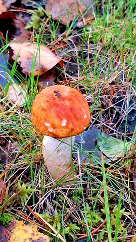
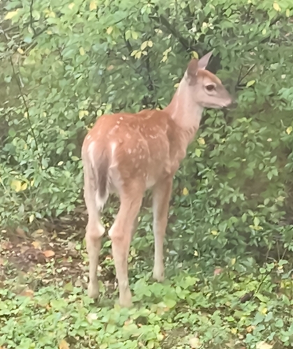
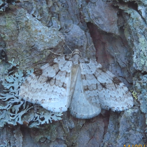
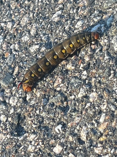
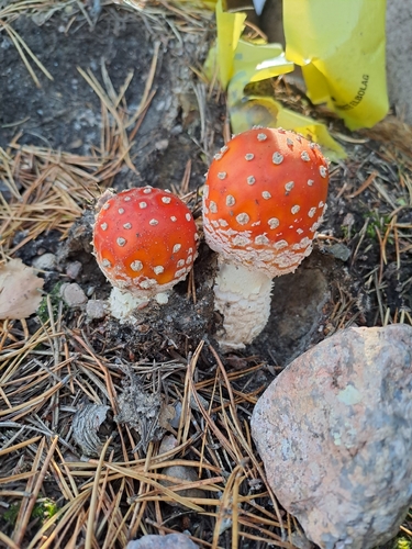
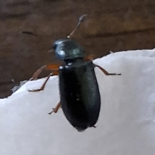
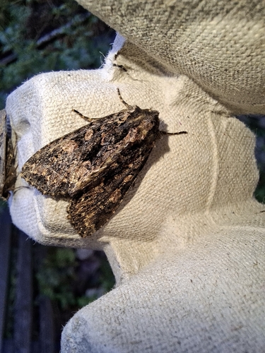
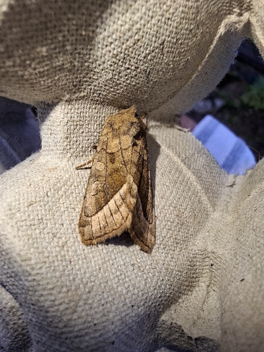
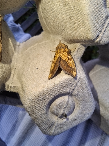
Research-grade observations from iNaturalist (within ~15 mi).
Events
Gallery
Sources
- • Wikipedia
- • Wikidata
- • USGS Earthquake Catalog (global feed)
- • GBIF (Global Biodiversity Information Facility)
- • iNaturalist
- • Open-Meteo / sunrise-sunset.org
- • Wikipedia Pageviews API
- • Wikidata SPARQL (CC0) — population, area, elevation, inception, head of government, Commons image