Browse / Finland / Southern Savonia / Mikkeli
Mikkeli
Southern Savoniacity

Mikkeli
Total population
51,549
Founded
1838
Demographic figures from Statistics Finland. Overview below cites Wikipedia and may reference a different year.
City facts
Sister cities
Facts from Wikidata (CC0).
Overview
Mikkeli is a city in, and the regional capital of, South Savo, Finland, located in the Finnish Lakeland. The population is approximately 52,000, while the Mikkeli sub-region of South Savo has a population of approximately 68,000. Mikkeli is the 18th most-populous municipality of Finland and the 19th most-populous urban area in the country.
Read more on WikipediaHistory & geography
History
The earliest signs of human life in Mikkeli are the Astuvansalmi rock paintings in Ristiina, dating back to 4100-2000 BCE. The Astuvansalmi is the largest rock painting site in the Nordic countries. The peace treaty of Nöteborg in 1323, with which the pogost (church parish) of Savilahti was transferred from the control of Novgorod to Sweden, is the oldest written record of the settlement in the present region of Mikkeli. The locality received its present name Mikkeli after Archangel Michael by the early 16th century at the latest. On 23 January 1597, more than 200 peasant rebels were killed in the parsonage of Kenkävero in part of the larger Cudgel War. In the war waged by King Gustav III of Sweden against Russia, the Battle of Porrassalmi took place a few miles south of Mikkeli on 13 June 1789. In the battle the Swedes (Finns) victoriously defended their positions against superior numbers of Russians. Mikkeli was granted town rights in 1838. The provincial government of the province of Mikkeli that had been established in 1831, moved from Heinola to Mikkeli in 1843. In 1918, during the Civil War, the headquarters of the White Army were established in Mikkeli. Mikkeli was located in a conservative farming area and it was a White stronghold, but elements of the Russian Army garrison in the area supported the Reds. A major engagement was fought around the railway station at Mäntyharju, about to the south of Mikkeli, when the Whites blocked a Red thrust coming north out of Kouvola. During the Winter War and Continuation War, the headquarters of the Finnish Army was located in Mikkeli. The Army staff made their base in a local secondary school. At the site of that school is the small containing photographs and memorabilia of the era. As a result of serving as the…
Geography
The centre of Mikkeli is located on a low rise, near the shore of a bay of Lake Saimaa. There are several smaller lakes in and around the town; the lakes to the east of town belong to the River Vuoksi system, while to the west, the town reaches Lake Puula, which belongs to the system of the River Kymijoki. Mikkeli has a subarctic climate (Dfc), bordering on humid continental (Dfb), as May and September average just slightly below 10˚C (50˚F).
Excerpted from the corresponding Wikipedia article (CC BY-SA).
Geography
Coordinates & boundaries from the US Census TIGER/Line shapefiles.
Climate
Air quality
Walkability
Amenities nearby
Wildlife & biodiversity
Most-observed species
- Eurasian BlackbirdTurdus merula Linnaeus, 1758 · Aves798
- Common ChaffinchFringilla coelebs Linnaeus, 1758 · Aves568
- Great TitParus major Linnaeus, 1758 · Aves469
- Garden LupinLupinus polyphyllus Lindl. · Magnoliopsida426
- Eurasian Blue TitCyanistes caeruleus (Linnaeus, 1758) · Aves386
- BrimstoneGonepteryx rhamni (Linnaeus, 1758) · Insecta374
- Norway SprucePicea abies (L.) H.Karst. · Pinopsida349
- Scots PinePinus sylvestris L. · Pinopsida322
Citizen-science & research observations from the Global Biodiversity Information Facility (GBIF).
Earthquake history
Most recent
- M 2.5 — 2008-07-029 km NW of Joutseno, Finland
Events from the USGS Earthquake Catalog (global) (FDSN Event Web Service).
Photos
Sights & places nearby
Notable people from here


People born within ~10 km, from Wikidata (CC0). Click any name for their Wikipedia article.
Nearby places in Southern Savonia
- Hirvensalmi16.6 mi away · pop. 2,384
- Badovinci1201.9 mi away · pop. 23
- Radina Vas1202.9 mi away · pop. 7
- Radatovići1202.9 mi away · pop. 22
- Kašt1202.9 mi away · pop. 45
- Doljani Žumberački1203 mi away · pop. 21
- Dučići1203.1 mi away · pop. 21
- Dragoševci1203.3 mi away · pop. 7
- Sršići1203.4 mi away · pop. 6
- Belošići1203.4 mi away · pop. 25
- Dvorište Vivodinsko1203.6 mi away · pop. 27
- Pilatovci1203.6 mi away · pop. 22
Geography & sun
Elevation, sunrise/sunset and daylight from Open-Meteo. Solar climatology from NASA POWER.
Nearby airports
Public attention
Pageview totals from the Wikimedia Pageviews API.
Books about this place
Recent natural events nearby
Ground air-quality sensors
Recently spotted species
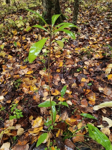
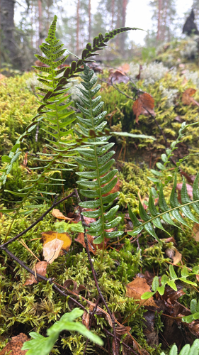
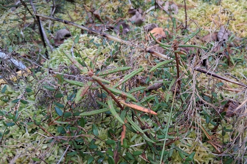
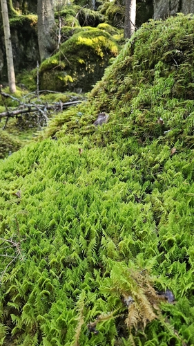
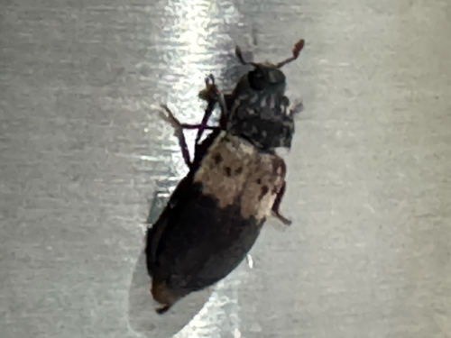
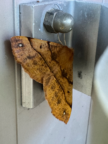
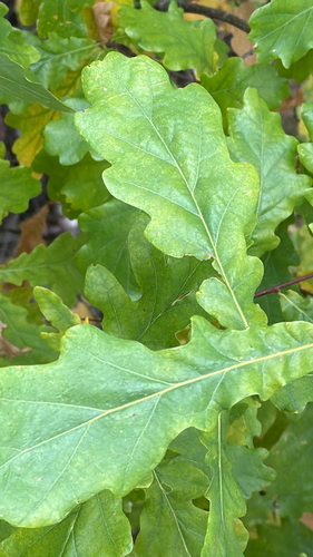
Research-grade observations from iNaturalist (within ~15 mi).
Events
Gallery
Sources
- • Wikipedia
- • Wikidata
- • USGS Earthquake Catalog (global feed)
- • GBIF (Global Biodiversity Information Facility)
- • iNaturalist
- • Open-Meteo / sunrise-sunset.org
- • Wikipedia Pageviews API
- • Wikidata SPARQL (CC0) — population, area, elevation, inception, head of government, Commons image