Browse / Finland / North Karelia / Möhkö
Möhkö
North Kareliavillage

Möhkö
Demographic figures from Statistics Finland. Overview below cites Wikipedia and may reference a different year.
City facts
Overview
Möhkö is a village in Ilomantsi, Finland, located in the eastern part of the municipality along the river Koitajoki, near the border with Russia. As of 2013, it had a population of about 130.
Read more on WikipediaHistory & geography
History
Möhkö was originally a section of the village of Nuorajärvi, which covered the shores of the eponymous lake. The names of Möhkö and the nearby hill Möhkönvaara are related to the word (among other variants) meaning 'lump', in toponymy usually referring to a hill. The Möhkö ironworks were established by Adolf von Rauch along the Möhkönkoski rapids in 1849. In 1851, the ironworks were bought and expanded by Nils Ludvig Arppe. Möhkö quickly became a center of industry and an important marketplace. The ironworks used bog iron extracted from the Ilajansuo bog and 61 different lakes, of which the most important was Koitere, supplying nearly 20 percent of all ore used between 1870 and 1881. The main fuel used was charcoal; about half of it was produced at the ironworks themselves, while the other half was produced by and bought from nearby farms. Pig iron produced in Möhkö was first transported to Karali by boat in the summer, and from there to Värtsilä by horse in the winter. From Värtsilä, the finished products were taken to Saint Petersburg to be stored and sold. A sawmill was also established in Möhkö in 1871. By the beginning of the 20th century, the population of Möhkö had grown to 600. The ironworks were closed in 1907 and its lands were bought by W. Gutzeit & Co (a predecessor of Stora Enso). Since the 1910s, the sawmill was accompanied by a watermill, a planing mill and a generator. A tree nursery was also established in 1917. In the 1920s, the state expropriated some of the over of land in Ilomantsi owned by Gutzeit to be given to landless people on the basis of Lex Kallio. Small farms began to be established in Möhkö. During the Winter War, Möhkö was under Soviet occupation from December 1939 until the end of the war in March 1940. In 1944, during the…
Geography
Möhkö is located in the eastern part of Ilomantsi near the border with Russia and along the river Koitajoki, which flows into lake Nuorajärvi near the village. The distance to central Ilomantsi is about , while that to the border zone is . The Petkeljärvi National Park is located near Möhkö, and the nearly Susitaival trail also connects the village to the Patvinsuo National Park via the villages of Hattuvaara and Naarva.
Excerpted from the corresponding Wikipedia article (CC BY-SA).
Geography
Coordinates & boundaries from the US Census TIGER/Line shapefiles.
Climate
Air quality
Walkability
Amenities nearby
Wildlife & biodiversity
Earthquake history
Photos
Sights & places nearby
Notable people from here
Nearby places in North Karelia
Geography & sun
Elevation, sunrise/sunset and daylight from Open-Meteo. Solar climatology from NASA POWER.
Nearby airports
Public attention
Pageview totals from the Wikimedia Pageviews API.
Books about this place
Recent natural events nearby
Ground air-quality sensors
Recently spotted species
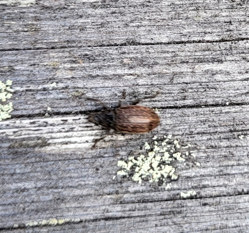
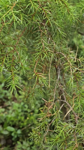
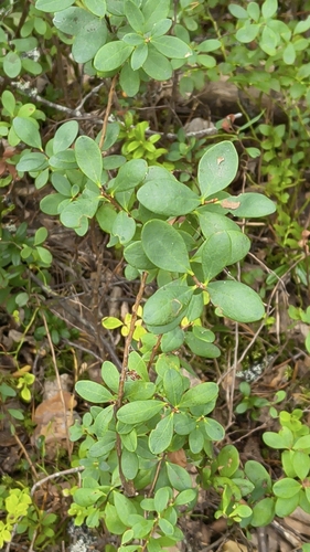
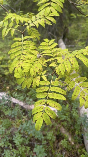
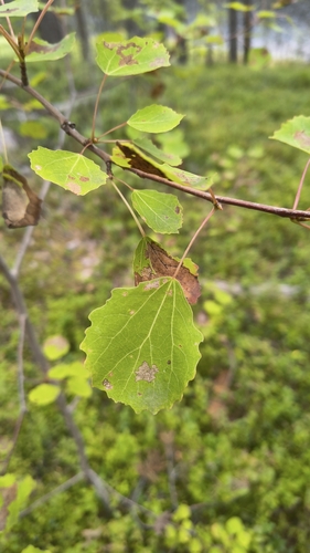
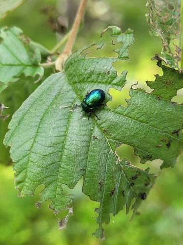
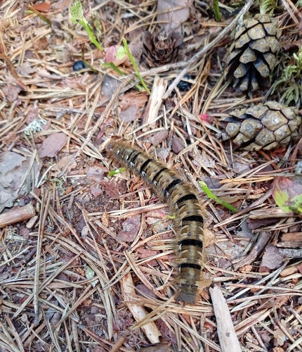
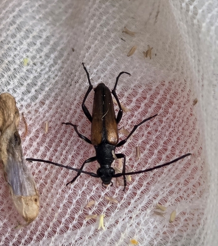
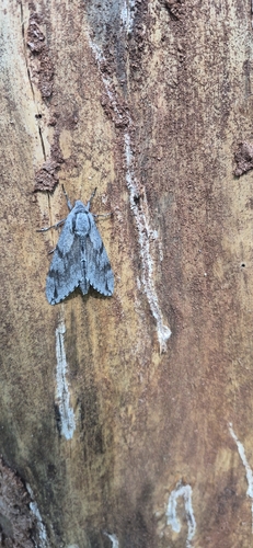
Research-grade observations from iNaturalist (within ~15 mi).
Events
Gallery
Sources
- • Wikipedia
- • iNaturalist
- • Open-Meteo / sunrise-sunset.org
- • Wikipedia Pageviews API