Browse / Finland / Pirkanmaa / Mouhijärvi
Mouhijärvi
Pirkanmaatown

Mouhijärvi
Total population
3,064
Demographic figures from Statistics Finland. Overview below cites Wikipedia and may reference a different year.
City facts
Facts from Wikidata (CC0).
Overview
Mouhijärvi is a former municipality of Finland, located in the southwestern part of the country. It was an agricultural village since the 18th century.
Read more on WikipediaHistory & geography
Geography
Mouhijärvi was located in the southwest Pirkanmaa region, and was part of the former provinces of Turku and Pori Province (1917 to 1997) and Western Finland Province (1997 to 2010). The location is between the shores of Mätikkö and Siilijärvi lakes and covered an area of , of which was water.
Excerpted from the corresponding Wikipedia article (CC BY-SA).
Geography
Coordinates & boundaries from the US Census TIGER/Line shapefiles.
Climate
Air quality
Walkability
Amenities nearby
Wildlife & biodiversity
Earthquake history
Photos
Sights & places nearby
Notable people from here
Geography & sun
Elevation, sunrise/sunset and daylight from Open-Meteo. Solar climatology from NASA POWER.
Nearby airports
Public attention
Pageview totals from the Wikimedia Pageviews API.
Books about this place
Recent natural events nearby
Ground air-quality sensors
Recently spotted species
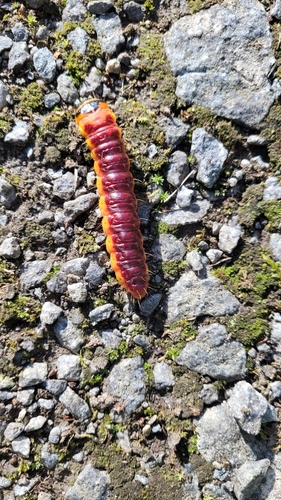
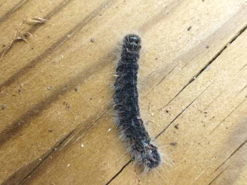
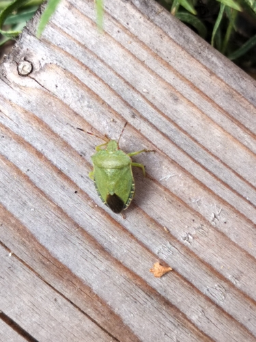
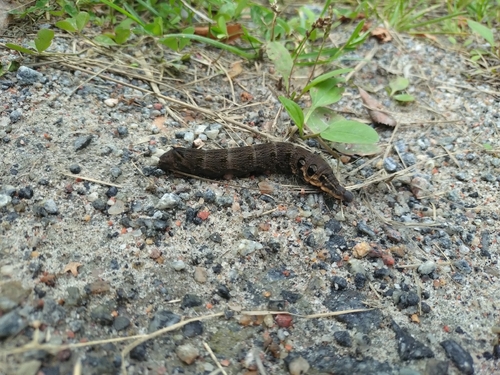
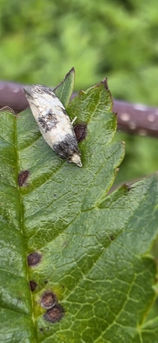
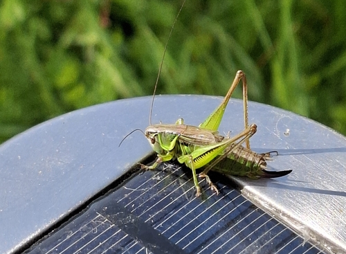
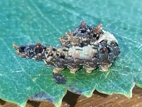
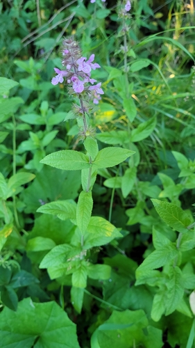
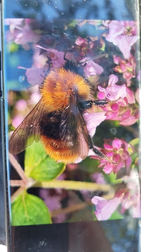
Research-grade observations from iNaturalist (within ~15 mi).
Events
Gallery
Sources
- • Wikipedia
- • Wikidata
- • iNaturalist
- • Open-Meteo / sunrise-sunset.org
- • Wikipedia Pageviews API
- • Wikidata SPARQL (CC0) — population, area, elevation, inception, head of government, Commons image