Browse / Finland / Päijänne Tavastia / Nastola
Nastola
Päijänne Tavastiatown

Nastola
Total population
11,943
Demographic figures from Statistics Finland. Overview below cites Wikipedia and may reference a different year.
City facts
Sister cities
Facts from Wikidata (CC0).
Overview
Nastola is a former municipality of Finland. It was merged with the city of Lahti on 1 January 2016.
Read more on WikipediaHistory & geography
History
Ornamental items, presumed to date back to the 1200s, have been found in the village of Ruuhijärvi. Although the items are of Karelian design, scholars agree that they are not necessarily indicative of Karelian settlement in Nastola. Additionally, English, German and Scandinavian coins have been found in Immilä. Etymologic research indicates that the earliest settlers in Nastola originated from contemporary Asikkala and Hollola, in addition to the surroundings of lake Vanajavesi; indeed, Ruuhijärvi, then covering most of what is now known as Nastola, became one of the quarters of the administrative parish of Asikkala in the 1500s. The name of Nastola may be of Karelian origin, referring to a Karelian male name Nasto (folk form of Anastasios). The first administrative center over the area was Uusikylä (), which was also the name of an administrative unit within the Hollola and later the Asikkala parish in the 15th century. The first church in the area was built in the village of Nastola (first mentioned in 1478), which gave its name to the chapel community and the later parish. Nastola became an independent parish in 1860. Nastola was consolidated with Lahti in 2016.
Geography
Nastola is wedged between the first and second Salpausselkäs, the former being a prominent feature in the terrain and landscape of the southern part of the municipality. In the west, it splits in two distinct ridges around the village of Villähde, and reaches it highest point in the parish village at above sea level. Moving further east towards Iitti, the ridge becomes narrower and its ridgelines steepen in the surroundings of Uusikylä. The area between the Salpausselkäs is characterized by its eskers and valleys. The esker of Vahteristonmäki, reaching past lake Kymijärvi further north into Heinola, peaks at above sea level in Nastola. Till is the dominant type of soil in central and northern Nastola, with clay deposits mostly being concentrated to the south of the first Salpausselkä, as well as around the lakes of Ruuhijärvi, Sylvöjärvi and Oksjärvi. The till areas are dotted with bedrock protrusions, such as the high Ukonvuori hill in the east. The rocks on the south side of the Salpausselkäs tend to be lower and more rounded, and the majority of the bedrock consists of granite. All of the lakes of Nastola, which are also all part of the Kymijärvi drainage basin, are situated to the north of the first Salpausselkä; to its south are several smaller streams of water.
Excerpted from the corresponding Wikipedia article (CC BY-SA).
Geography
Coordinates & boundaries from the US Census TIGER/Line shapefiles.
Climate
Air quality
Walkability
Amenities nearby
Wildlife & biodiversity
Most-observed species
- Great TitParus major Linnaeus, 1758 · Aves7,694
- Eurasian Blue TitCyanistes caeruleus (Linnaeus, 1758) · Aves5,611
- European Pied FlycatcherFicedula hypoleuca (Pallas, 1764) · Aves4,133
- Eurasian BlackbirdTurdus merula Linnaeus, 1758 · Aves2,485
- Willow WarblerPhylloscopus trochilus (Linnaeus, 1758) · Aves2,014
- Barnacle GooseBranta leucopsis (Bechstein, 1803) · Aves1,482
- Common ChaffinchFringilla coelebs Linnaeus, 1758 · Aves1,355
- Great Spotted WoodpeckerDendrocopos major (Linnaeus, 1758) · Aves1,336
Citizen-science & research observations from the Global Biodiversity Information Facility (GBIF).
Earthquake history
Most recent
- M 2.6 — 2011-03-19Finland
Events from the USGS Earthquake Catalog (global) (FDSN Event Web Service).
Photos
Sights & places nearby
Notable people from here
Geography & sun
Elevation, sunrise/sunset and daylight from Open-Meteo. Solar climatology from NASA POWER.
Nearby airports
Public attention
Pageview totals from the Wikimedia Pageviews API.
Books about this place
Recent natural events nearby
Ground air-quality sensors
Recently spotted species
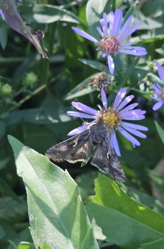
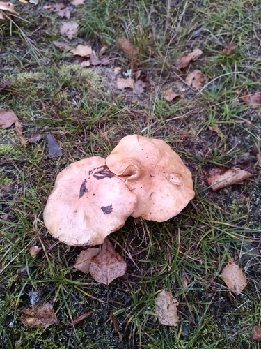
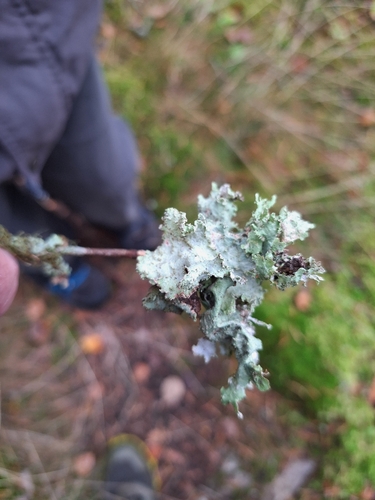
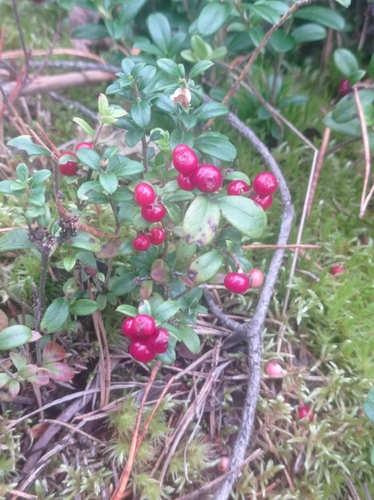
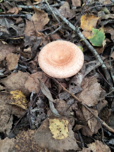
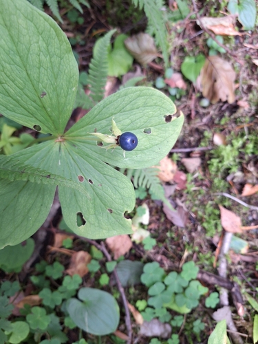
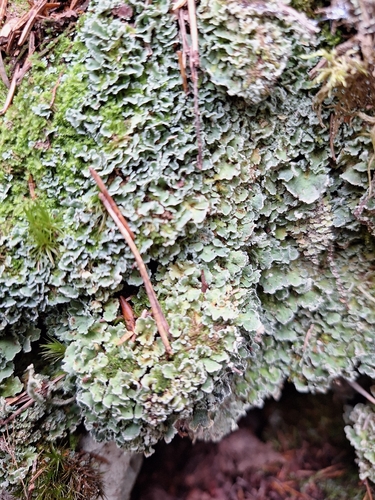
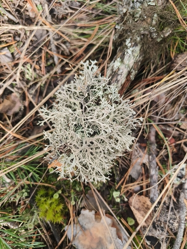
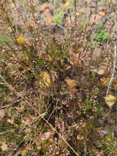
Research-grade observations from iNaturalist (within ~15 mi).
Events
Gallery
Sources
- • Wikipedia
- • Wikidata
- • USGS Earthquake Catalog (global feed)
- • GBIF (Global Biodiversity Information Facility)
- • iNaturalist
- • Open-Meteo / sunrise-sunset.org
- • Wikipedia Pageviews API
- • Wikidata SPARQL (CC0) — population, area, elevation, inception, head of government, Commons image