Browse / Finland / North Karelia / Nurmes
Nurmes
North Kareliatown

Nurmes
Total population
8,358
Founded
1810
Demographic figures from Statistics Finland. Overview below cites Wikipedia and may reference a different year.
City facts
Sister cities
Facts from Wikidata (CC0).
Overview
Nurmes is a town and municipality of Finland, located in the county of North Karelia. The town has a population of 8,760 and covers an area of 1,854.78 square kilometres (716.13 sq mi) of which 253.7 km2 (98.0 sq mi) is water. The population density is 3.65 inhabitants per square kilometre (9.5/sq mi). Neighbouring municipalities are Juuka, Kuhmo, Lieksa, Rautavaara and Sotkamo.
Read more on WikipediaHistory & geography
History
The former town municipality of Valtimo was annexed into Nurmes on 1 January 2020.
Geography
Nurmes is located in Finnish Karelia on the shore of lake Pielinen, next to the counties of Kainuu and North Savo. The nearest major cities by road are Kuopio (128 km), Joensuu (127 km) and Kajaani (113 km) where the nearest airports are located. The railway from Nurmes to Joensuu is 160 km and runs through Lieksa. Helsinki is 518 kilometers by road and can be reached by rail by changing trains in Joensuu. Nurmes is close to Tahko Tourist Center (93 km), Vuokatti Ski Resort (88 km), Koli National Park (78 km), Tiilikkajärvi National Park (56 km) and Hiidenportti National Park (44 km). The nature of Nurmes is characterized by hilly landscapes, forests and lakes. There are 409 lakes in Nurmes. The largest and the most famous of these is lake Pielinen. Species such as perch, grayling, pike, lake salmon, whitefish, lake trout are found in Pielinen. Fishing is possible with a licence that can be bought from shops. There are three hiking areas in Nurmes: * Raesärkkä area consists of a 5.9 km2 protected forest and a 1.2 km2 recreational forest. It has a grazing field, marshes, lakes and rivers. * Mujejärvi area consists of a 20 km2 hiking area with cliffs, ridges, gorges and lakes. * Lake Peurajärvi is suitable for families with children and fishermen. There are many lakes, ponds and rivers in the area, with easy access routes. There are many different mushroom, wild herb and berry species in the forests. There is Freedom to roam in Finland. Nurmes experiences a continental climate with four seasons. Winters are cold and the average temperature from November to March is below -5 °C. On average, the snow season lasts 4–5 months from November to April. North Karelia is one of the snowiest regions in Finland,…
Excerpted from the corresponding Wikipedia article (CC BY-SA).
Geography
Coordinates & boundaries from the US Census TIGER/Line shapefiles.
Climate
Air quality
Walkability
Amenities nearby
Wildlife & biodiversity
Most-observed species
- Green-veined WhitePieris napi (Linnaeus, 1758) · Insecta394
- Common ChaffinchFringilla coelebs Linnaeus, 1758 · Aves383
- Willow WarblerPhylloscopus trochilus (Linnaeus, 1758) · Aves308
- BrimstoneGonepteryx rhamni (Linnaeus, 1758) · Insecta244
- Arthothelium scandinavicum Th.Fr.Arthothelium scandinavicum Th.Fr. · Arthoniomycetes231
- Scots PinePinus sylvestris L. · Pinopsida228
- Norway SprucePicea abies (L.) H.Karst. · Pinopsida223
- RingletAphantopus hyperantus (Linnaeus, 1758) · Insecta222
Citizen-science & research observations from the Global Biodiversity Information Facility (GBIF).
Earthquake history
Events from the USGS Earthquake Catalog (global) (FDSN Event Web Service).
Photos
Sights & places nearby
Notable people from here


People born within ~10 km, from Wikidata (CC0). Click any name for their Wikipedia article.
Nearby places in North Karelia
- Sivakkovaara76 mi away
- Repovaara78 mi away
- Iljanvaara82.6 mi away
- Viininiemi85.9 mi away
- Mazin1416.8 mi away · pop. 47
- Zaklopac1416.9 mi away · pop. 23
- Begluci1417.4 mi away · pop. 61
- Donja Suvaja1417.6 mi away · pop. 53
- Gornja Suvaja1418.3 mi away · pop. 36
- Osredci1420.7 mi away · pop. 42
- Bruvno1421.2 mi away · pop. 92
- Dugopolje1421.3 mi away · pop. 20
Geography & sun
Elevation, sunrise/sunset and daylight from Open-Meteo. Solar climatology from NASA POWER.
Nearby airports
Public attention
Pageview totals from the Wikimedia Pageviews API.
Books about this place
Recent natural events nearby
Ground air-quality sensors
Recently spotted species
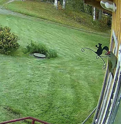
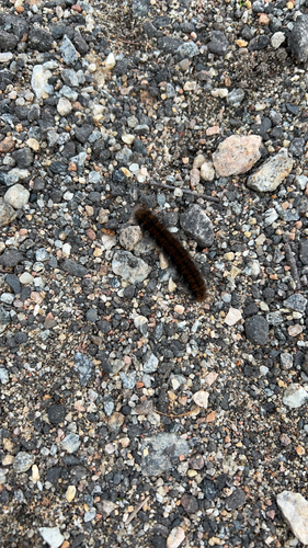
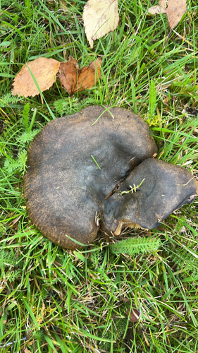
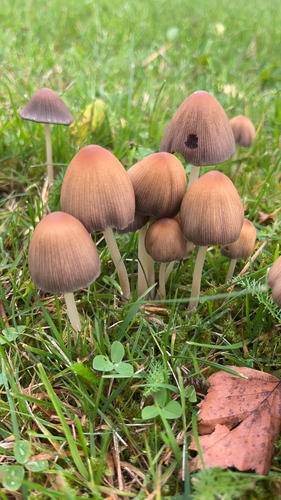
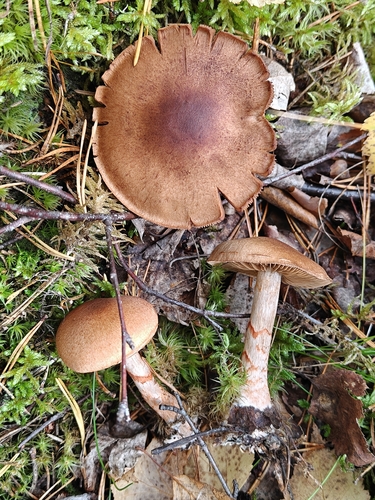
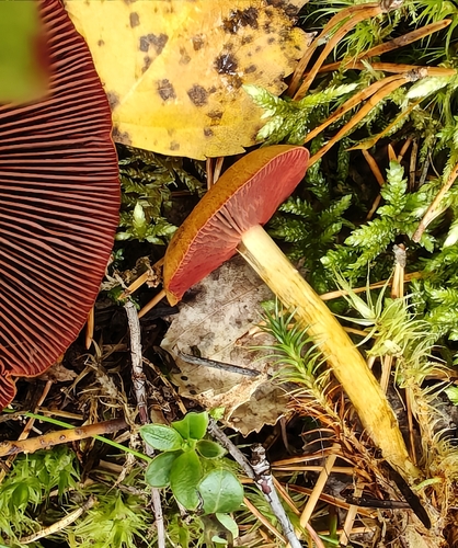
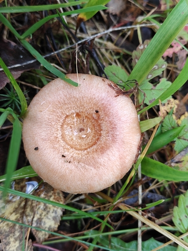
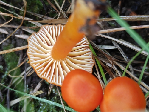
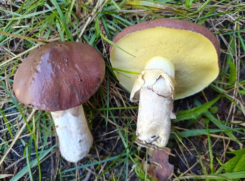
Research-grade observations from iNaturalist (within ~15 mi).
Events
Gallery
Official Identifiers
Tilastokeskus — Statistics Finland
- Kuntanumero
- FINUR
- Population (Wikidata)
- 9,130
- Wikidata
- Q656988
Kuntanumero via Wikidata P1937
Sources
- • Wikipedia
- • Wikidata
- • USGS Earthquake Catalog (global feed)
- • GBIF (Global Biodiversity Information Facility)
- • iNaturalist
- • Open-Meteo / sunrise-sunset.org
- • Wikipedia Pageviews API
- • Wikidata SPARQL (CC0) — population, area, elevation, inception, head of government, Commons image
- • Tilastokeskus — Statistics Finland — Kuntanumero via Wikidata P1937