Browse / Finland / Central Finland / Nyrölä
Nyrölä
Central Finlandvillage

Nyrölä
Total population
275
Demographic figures from Statistics Finland. Overview below cites Wikipedia and may reference a different year.
City facts
Overview
Nyrölä is a village and district of Jyväskylä, Finland located 25–28 kilometres (16–17 mi) from the city centre, near the border with Petäjävesi and Uurainen. Prior to 2009, it was one of the villages of Jyväskylän maalaiskunta, a former municipality of Finland.
Read more on WikipediaHistory & geography
History
Before being settled, the area of Soukkajärvi was used as hunting grounds, though the exact owners of the area are unknown. Based on a court document describing the borders of hunting grounds around modern Vesanka from 1530, it appears to have belonged to some farms in Pälkäne. In 1565, Soukkajärvi was settled by Paavali Rahikainen, who was likely from Pellosniemi (around modern Mikkeli), establishing his farm by the lake Iso-Soukka. The farm was divided into two in 1570. For an unknown reason, the surname of the Rahikainen family living in both farms changed to Nyrönen in 1579, after which the older farm came to be known as Nyrölä, eventually displacing Soukkajärvi as the village's name. The newer farm, located on the shore of lake Kolmiloppi, was owned by the Oikarinen family since 1649, giving the farm its later name. The Nyrölä and Oikari farms were, respectively, divided into two in 1746 and 1759. In 1771, a tenant farm under Nyrölä, named Mäkiaho, became an independent farm. In 1827, when the Great Partition was being carried out in the village, the Nyrölä farm was divided into four, named Heikkilä (Huovila), Koppeli, Mäkelä and Ristola. Other farms established around the time include Hepomäki (1843). The amount of farms was also increased by the transfer of the Sikomäki area from Vesanka to Nyrölä in the 1830s. The Jyväskylä parish, including Soukkajärvi, was fully separated from Laukaa on 4 February 1856. However, on the 22nd of that month, twelve farms from Soukkajärvi were transferred to Uurainen, which was a subordinate parish of Saarijärvi until becoming independent on 10 February 1868. This included much of modern Höytiä as well as the Oikari farm. The area around the latter, Oikarinperä, is today seen as a section of the village of Jokihaara. In…
Geography
Nyrölä is located in the northwestern part of Jyväskylä at the border with Petäjävesi and Uurainen. The distance to downtown Jyväskylä is about , while that to Tikkakoski is . Nyrölä was one of the official land register villages of Jyväskylä, including the areas of Hepoperä, Mökkiperä and Sikomäki, forming a salient between Uurainen and Petäjävesi. Nyrölä is also the name of the 58th district of Jyväskylä, covering much of the same area including Mökkiperä and Hepoperä, but not Sikomäki. It borders Uurainen in the north, Kuikka in the east, Vertaala in the southeast and Petäjävesi in the south. The boundaries of Nyrölä as seen by locals are more varied. According to a survey by the city with 78 respondents from Nyrölä and Kuikka, locals may consider Nyrölä to extend into Vertaala, while Hepoperä is not commonly seen as part of the village. The centre of Nyrölä is located between the former school and the crossroads between the road to Kuikka and the road to Höytiä. The terrain of Nyrölä is characterized by multiple bogs and small lakes. While there are multiple hills reaching a height of at least from sea level, the highest being Saksalanmäki at a height of , none of them are particularly prominent. The lowest point in the village is the lake Pajulampi, with a surface level of . Other lakes include Iso-Soukka, Iso-Musta and Lukkonen. There is a nature trail in the eastern part of Nyrölä, built between 2003 and 2004. It includes a cable ferry connection to an island in the northern part of Iso-Musta, as well as two lean-to shelters.
Excerpted from the corresponding Wikipedia article (CC BY-SA).
Geography
Coordinates & boundaries from the US Census TIGER/Line shapefiles.
Climate
Air quality
Walkability
Amenities nearby
Wildlife & biodiversity
Earthquake history
Photos
Sights & places nearby
Notable people from here

People born within ~10 km, from Wikidata (CC0). Click any name for their Wikipedia article.
Geography & sun
Elevation, sunrise/sunset and daylight from Open-Meteo. Solar climatology from NASA POWER.
Nearby airports
Public attention
Pageview totals from the Wikimedia Pageviews API.
Books about this place
Recent natural events nearby
Ground air-quality sensors
Recently spotted species
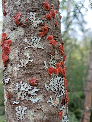
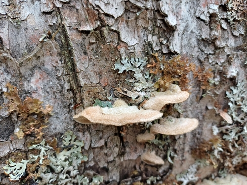
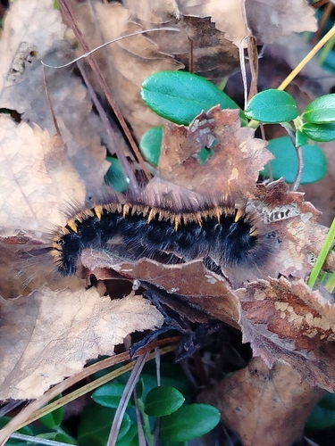
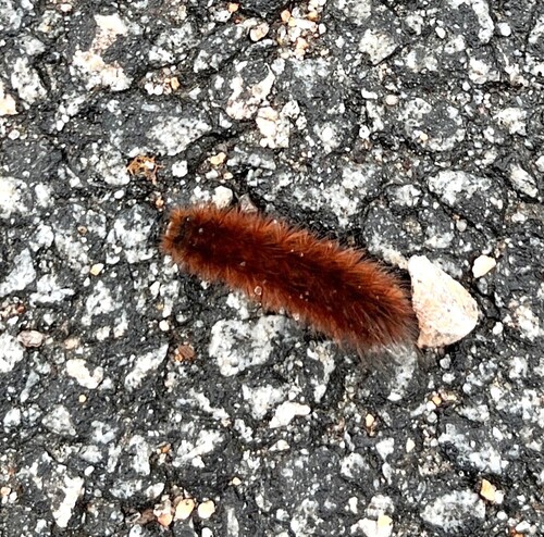
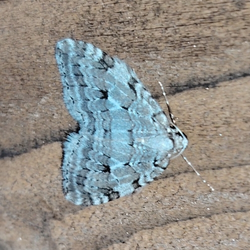
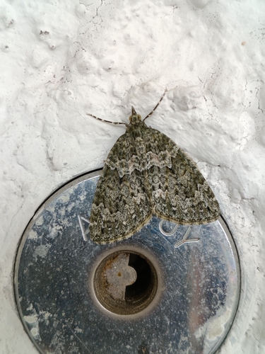
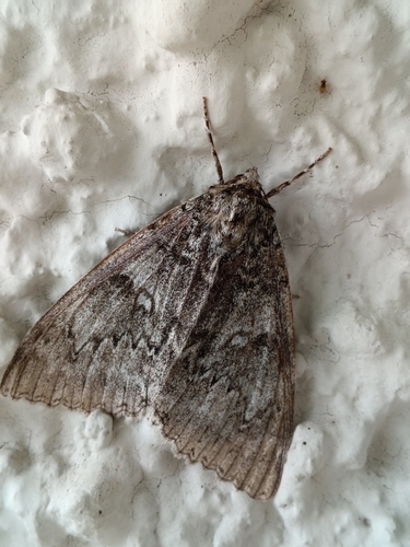
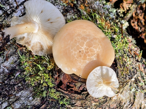
Research-grade observations from iNaturalist (within ~15 mi).
Events
Gallery
Sources
- • Wikipedia
- • Wikidata
- • iNaturalist
- • Open-Meteo / sunrise-sunset.org
- • Wikipedia Pageviews API
- • Wikidata SPARQL (CC0) — population, area, elevation, inception, head of government, Commons image