Browse / Finland / Satakunta / Pori
Pori
Satakuntacity

Pori
Total population
83,044
Demographic figures from Statistics Finland. Overview below cites Wikipedia and may reference a different year.
City facts
Overview
Pori is a city in Finland and the regional capital of Satakunta. It is located on the west coast of the country, on the Gulf of Bothnia. The population of Pori is approximately 83,000, while the sub-region has a population of approximately 128,000. It is the 10th most populous municipality in Finland, and the eighth most populous urban area in the country.
Read more on WikipediaHistory & geography
History
City of Pori was established on March 8, 1558 by Duke John of Finland () who was later known as John III of Sweden. It was a successor to the medieval towns of Teljä (Kokemäki) and Ulvila. Sailing the Kokemäki river had become more and more difficult since the 14th century due to the post-glacial rebound. The importance of Kokemäki and Ulvila began to decline as the ships could no longer navigate the river. In the 16th century the situation had become so bad that Duke John decided to establish a new harbour and market town closer to the sea. The Bourgeoisie of Ulvila were ordered to migrate to the newly founded city and on 8 March 1558 John III gave the charter of Pori, which read: "Because we have seen that it would be best to build a strong market town alongside the sea, and because we cannot find anywhere suitable for fortifying in Ulvila, we have chosen another location at Pori." At the beginning Pori had around 300 involuntary residents. However, they soon recognized the advantages of their new location, which offered opportunities for profitable trading, among other things. Ship building has been important since the beginning of history of Pori. Shipyard started by the river in 1572 and it worked until the early 20th century. The biggest ship probably ever built in Pori was "Porin Kraveli," completed in 1583. During the Greater Wrath of 1713, Pori was occupied by Russian troops. Eight Russian regiments spent four months in town from September 1713 to January 1714 vandalizing and demolishing the city. Some of the wealthiest residents vanished, they were probably imprisoned and taken to Russia. Wind mills and storage houses were burnt. Most of the oxen and horses and more than 400 boats were lost. The Russian invasion of Finland continued another seven years. It…
Geography
The geological uplift after the last ice age has been relatively high at the mouth of the Kokemäenjoki river. When the city was established in 1558, it was situated on the shore of Pori bay. Because of this uplift the delta of the river now begins in front of the city. The recreation area of Kirjurinluoto is actually on an island connected with bridges to the mainland. Pori National Urban Park preserves the story of the phases of development of the town born at the mouth of the river Kokemäenjoki. Pori has a humid continental climate (Dfb), with moderation from the Gulf of Bothnia helping to keep September above the 10 °C (50 °F) isotherm, and is amongst the northern extent of that climate in Finland. Winters are long, and cold, but are notably shorter and warmer than in the Northern parts of Finland due to the marine effect and location by the Bothnian Sea. The temperatures measured in the city center are slightly higher on average due to the urban heat island effect. Summers are relatively warm. The highest ever recorded temperature in this weather station was 33.3 °C (91.9 °F), on 13 July 2010 and the lowest official temperature ever recorded was -36.8 °C (-34.2 °F), on 3 February 1966. Visiting the famous "Yyteri" beach is arguably the best pastime thing to do in Pori on warm summer days. In fact, it gathers the most visitors out of any other beach in Finland on summers.
Excerpted from the corresponding Wikipedia article (CC BY-SA).
Geography
Coordinates & boundaries from the US Census TIGER/Line shapefiles.
Climate
Air quality
Walkability
Amenities nearby
Wildlife & biodiversity
Earthquake history
Photos
Sights & places nearby
Notable people from here


People born within ~10 km, from Wikidata (CC0). Click any name for their Wikipedia article.
Nearby places in Satakunta
Geography & sun
Elevation, sunrise/sunset and daylight from Open-Meteo. Solar climatology from NASA POWER.
Nearby airports
Public attention
Pageview totals from the Wikimedia Pageviews API.
Books about Pori
Search results from Open Library.
Recent natural events nearby
Ground air-quality sensors
Recently spotted species
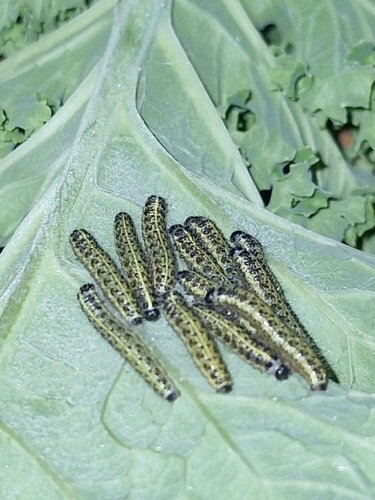
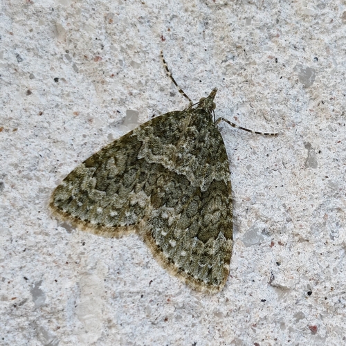
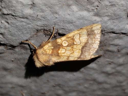
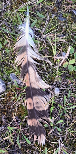
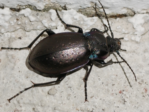
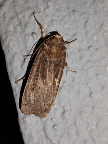
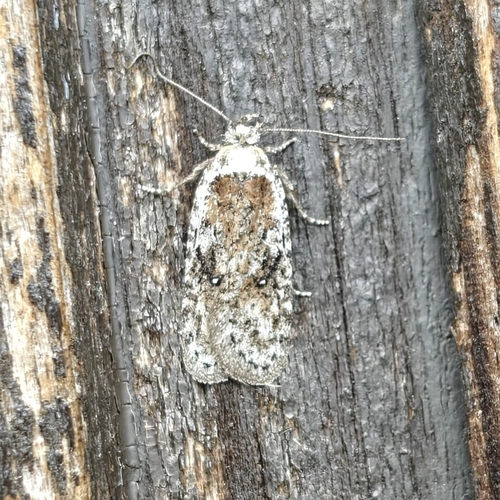
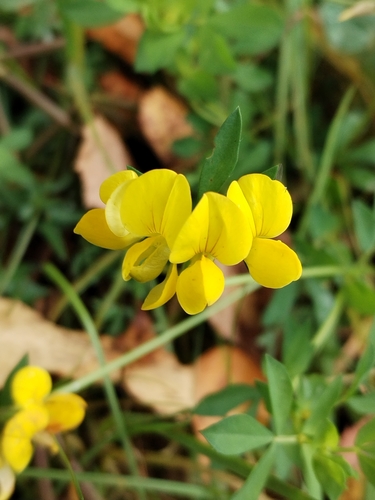
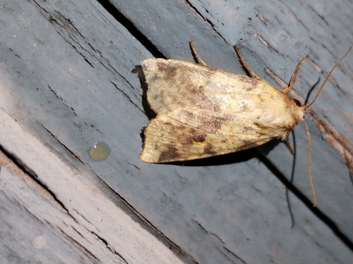
Research-grade observations from iNaturalist (within ~15 mi).
Events
Notable, recurring, and historical events associated with Pori, sourced from Wikidata.
- Q88397990Sep 4, 2020recurring event edition
Source: Wikidata (CC0).
Gallery
Sources
- • Wikipedia
- • Wikidata
- • iNaturalist
- • Open-Meteo / sunrise-sunset.org
- • Wikipedia Pageviews API
- • Open Library
- • Wikidata SPARQL (CC0) — population, area, elevation, inception, head of government, Commons image