Browse / Finland / Northern Ostrobothnia / Raahe
Raahe
Northern Ostrobothniatown

Raahe
Total population
23,454
Founded
1649
Demographic figures from Statistics Finland. Overview below cites Wikipedia and may reference a different year.
City facts
Sister cities
Facts from Wikidata (CC0).
Overview
Raahe is a town in Finland, located on the western coast of the country. Raahe is situated in the North Ostrobothnia region, along the Gulf of Bothnia. The population of Raahe is approximately 23,000, while the sub-region has a population of approximately 31,000. It is the 43rd most populous municipality in Finland.
Read more on WikipediaHistory & geography
History
The area of Raahe was originally a part of the parish of Saloinen, known until 1913 as Salo. It was one of the first parishes in northern Ostrobothnia. Count Per Brahe the Younger, the governor-general of Finland, gave a charter to the town of Salo (not to be confused with Salo in Finland Proper) in the year of 1649 with the purpose of constructing a town at Satamakangas, near the old harbour site. However, the harbour area had become so low that the future town was decided to be transferred. A new and better location was found further to the north, at the bay of Raahe. Having acquired the possession of the parish of Salo in 1652, Per Brahe renamed the town Brahestad or Raahe in Finnish. The planning of the town for the purpose of building Raahe was given to the surveyor Claes Claesson. His town plan followed the ideals of the regular grid plan of the Renaissance. All of the streets of Raahe were of equal width of 20-21 cubits or 10–11 meters. The market square stood by Rantakatu and the Town Hall behind the square. At the northeast corner of the town stood the church and the schoolhouse. Six blocks were realized of the town plan, i.e. the area surrounded by present-day Koulukatu, Kirkkokatu, Saaristokatu and Rantakatu. The later expansion and changes of the town have held the ambitions of Claesson's town plan in respect until the beginning of the latest century. which further enlivened the town's traffic and commerce. Goods such as tar, boards, tallow, butter, and fur were traded through Raahe, and improved road connections increased the competitiveness of the harbour.
Excerpted from the corresponding Wikipedia article (CC BY-SA).
Geography
Coordinates & boundaries from the US Census TIGER/Line shapefiles.
Climate
Air quality
Walkability
Amenities nearby
Wildlife & biodiversity
Earthquake history
Photos
Sights & places nearby
Notable people from here


People born within ~10 km, from Wikidata (CC0). Click any name for their Wikipedia article.
Nearby places in Northern Ostrobothnia
- Muhos45.4 mi away · pop. 8,936
- Duboševica1317.3 mi away · pop. 393
- Topolje1318.6 mi away · pop. 287
- Batina1318.9 mi away · pop. 594
- Kneževo1320.6 mi away · pop. 485
- Podolje1321.9 mi away · pop. 88
- Zmajevac1322.6 mi away · pop. 544
- Popovac1323.1 mi away · pop. 738
- Branjin Vrh1324.2 mi away · pop. 764
- Šećerana1325.1 mi away · pop. 461
- Kamenac1325.5 mi away · pop. 129
- Šumarina1325.5 mi away · pop. 421
Geography & sun
Elevation, sunrise/sunset and daylight from Open-Meteo. Solar climatology from NASA POWER.
Nearby airports
Public attention
Pageview totals from the Wikimedia Pageviews API.
Books about this place
Recent natural events nearby
Ground air-quality sensors
Recently spotted species
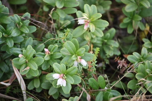
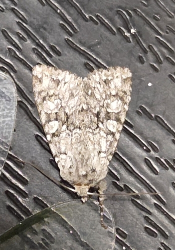
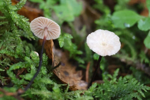
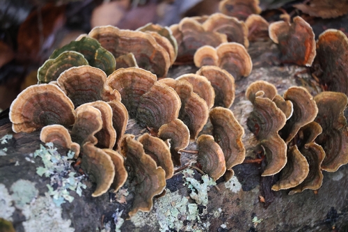
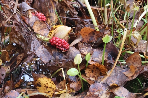
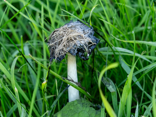
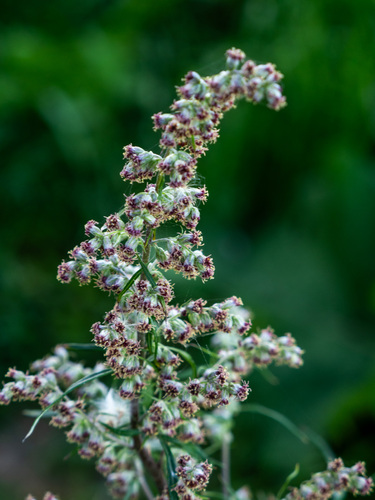
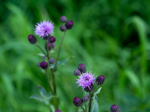
Research-grade observations from iNaturalist (within ~15 mi).
Events
Gallery
Sources
- • Wikipedia
- • Wikidata
- • iNaturalist
- • Open-Meteo / sunrise-sunset.org
- • Wikipedia Pageviews API