Browse / Finland / Lapland / Rovaniemi
Rovaniemi
Laplandcity

Rovaniemi
Total population
66,201
Demographic figures from Statistics Finland. Overview below cites Wikipedia and may reference a different year.
City facts
Sister cities
Facts from Wikidata (CC0).
Overview
Rovaniemi is a city in Finland and the regional capital of Lapland. It is located near the Arctic Circle in the northern interior of the country. The population of Rovaniemi is approximately 66,000, while the sub-region has a population of approximately 70,000. It is the 17th most populous municipality in Finland, and the 11th most populous urban area in the country.
Read more on WikipediaHistory & geography
History
Periodic clearance of new land for agriculture and the practice of slash-and-burn cultivation began around 750–530 BC. Artifacts found in the area suggest that an increasing number of travellers from Karelia in the east, Häme in the south and the Arctic Ocean coast in the north must have come there from 500 AD onwards. The Sami are indigenous to Sápmi. Rovaniemi is first mentioned by name in official documents in 1453, existing as a set of small villages whose inhabitants earned their living mainly in agriculture and animal husbandry—with fishing and hunting the most important offshoots. The exploitation of Lapland's natural resources in the 1800s boosted Rovaniemi's growth. Extensive logging sites and gold fever attracted thousands of people to Lapland. As the mining of natural resources was increased, Rovaniemi became the business centre of the province of Lapland. The township decree was promulgated on 27 June 1928, as a result of which Rovaniemi seceded from the old rural municipality as its own market town on 1 January 1929. Following the Winter War of 1939–1940, Finland increasingly developed military cooperation with Nazi Germany. Under a transit agreement concluded in 1940, German troops and military supplies were permitted to travel through Finland to German-occupied northern Norway. The transit route passed through Rovaniemi, where German logistical, communications and intelligence units began establishing facilities before Finland again entered war with the Soviet Union. A German Luftwaffe command organisation, Fliegerführer Nord, transferred its headquarters to Rovaniemi in December 1940, and by February 1941 the Germans had begun expanding the existing transit organisation into a major military supply centre. After the outbreak of the Continuation War…
Geography
Due to its location near the Arctic Circle, Rovaniemi has a subarctic climate (Köppen Dfc) with short, pleasant summers with occasional very warm days above 28°C (82°F), while the winters are long, freezing cold and snowy. The city lies just south of the mean annual isotherm, but freezing in the soil is very limited even during the winter due to typical heavy snow cover. There is insignificant seasonal variation in precipitation, but a slight trend for wettest conditions in the summer months. Its extreme northerly location combined with frequent overcast skies leads to very low levels of sunshine in the winter months; December averages just under six minutes of sunshine daily. The "midnight sun" is above the horizon from 7 June to 6 July (30 days). Winters are somewhat modified by marine air from the North Atlantic Current that ensures average temperatures are less extreme than expected for an inland area at such a northerly latitude. Nevertheless, Rovaniemi still has colder winters than areas at similar latitudes in Norway or Sweden. On 26 April 2019, Rovaniemi recorded its warmest April day on record with . The average annual temperature in Rovaniemi is . Snow stays on the ground 175 days a year on average. The lowest temperature ever recorded at the airport is , recorded on 28 January 1999. However, on the same day temperatures as cold as -47.5 C were recorded at nearby weather stations. The highest temperature ever recorded is , recorded on 18 July 2018 at the railway station. Despite the fact that Rovaniemi experiences polar day between 7 June and 6 July (30 days) it does not experience polar night. However, the sun barely gets above the horizon in the winter. Some of the neighborhoods are former rural villages, and the longest distance from said…
Excerpted from the corresponding Wikipedia article (CC BY-SA).
Geography
Coordinates & boundaries from the US Census TIGER/Line shapefiles.
Climate
Air quality
Walkability
Amenities nearby
Wildlife & biodiversity
Most-observed species
- Great TitParus major Linnaeus, 1758 · Aves2,507
- FieldfareTurdus pilaris Linnaeus, 1758 · Aves1,808
- Black-headed GullChroicocephalus ridibundus (Linnaeus, 1766) · Aves1,446
- European Pied FlycatcherFicedula hypoleuca (Pallas, 1764) · Aves1,401
- Eurasian Blue TitCyanistes caeruleus (Linnaeus, 1758) · Aves1,061
- Eurasian MagpiePica pica (Linnaeus, 1758) · Aves877
- Willow WarblerPhylloscopus trochilus (Linnaeus, 1758) · Aves858
- Common RedpollAcanthis flammea (Linnaeus, 1758) · Aves735
Citizen-science & research observations from the Global Biodiversity Information Facility (GBIF).
Earthquake history
Events from the USGS Earthquake Catalog (global) (FDSN Event Web Service).
Photos
Sights & places nearby
Notable people from here


People born within ~10 km, from Wikidata (CC0). Click any name for their Wikipedia article.
Nearby places in Lapland
Geography & sun
Elevation, sunrise/sunset and daylight from Open-Meteo. Solar climatology from NASA POWER.
Nearby airports
Public attention
Pageview totals from the Wikimedia Pageviews API.
Books about this place
Recent natural events nearby
Ground air-quality sensors
Recently spotted species
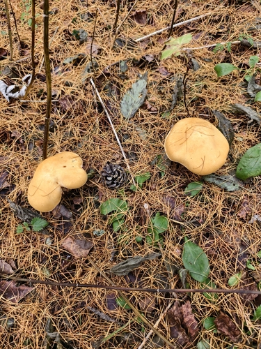
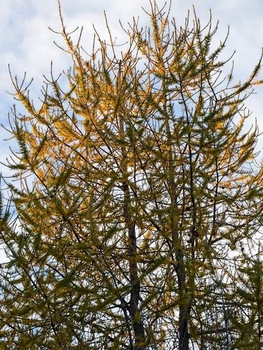
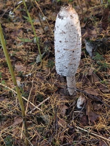
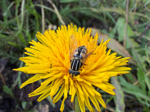
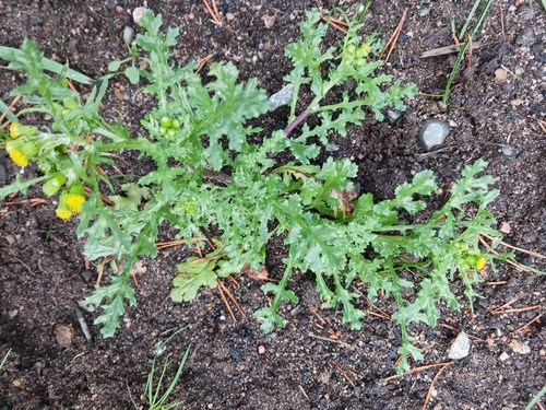
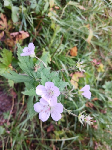
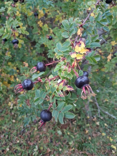
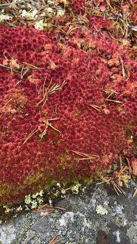
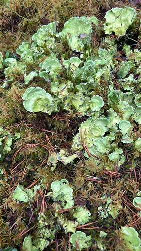
Research-grade observations from iNaturalist (within ~15 mi).
Events
Notable, recurring, and historical events associated with Rovaniemi, sourced from Wikidata.
Source: Wikidata (CC0).
Gallery
Sources
- • Wikipedia
- • Wikidata
- • USGS Earthquake Catalog (global feed)
- • GBIF (Global Biodiversity Information Facility)
- • iNaturalist
- • Open-Meteo / sunrise-sunset.org
- • Wikipedia Pageviews API