Browse / Finland / Åland / Saltvik
Saltvik
Ålandtown

Saltvik
Total population
1,794
Demographic figures from Statistics Finland. Overview below cites Wikipedia and may reference a different year.
City facts
Facts from Wikidata (CC0).
Overview
Saltvik is a municipality of Åland, an autonomous territory of Finland. The total area is 1 161,8 km2, of which 150,7 km2 is land, 4,7 km2 lakes and 1006,4 km2 sea.
Read more on WikipediaHistory & geography
History
The municipality has a rich history. When Åland emerged from the sea about 8,000 BC, Saltvik was the first land to be seen. During the Viking ages, Kvarnbo used to be a central crown court- and place of merchandise. Today, people can visit the medieval church and at the court place see the memorial monument. The church St:a Maria is located by Kvarnboviken in the east of Saltvik. The red granite church is one of the oldest in Åland, and was once the main church in the province. The church has been rebuilt and extended several times. The oldest parts are from the late 13th century, but various reconstructions have been made from the 14th century until today. For example, the chalk drawings on the walls have first been painted, then covered and then uncovered again. Around and under the church, there are traces of houses from Viking Age. This is not so strange, considering the church is located in the middle of the biggest grave field from Iron Age in Åland. Håkan Skogsjö has documented the permanently residing population of Saltvik from the 17th century to the present, covering the history of the municipality as a whole, its individual hamlets, down to each original farmstead and the families who lived there. A former Finnish government lands official claims a 17,800-square-meter (0.004 acre) plot on the island of Saltvik "had been handed over to Russia's Foreign Ministry in 2009, in accordance with a 1947 post-war peace treaty that saw German holdings in Finland transferred to the Soviet Union".
Excerpted from the corresponding Wikipedia article (CC BY-SA).
Geography
Coordinates & boundaries from the US Census TIGER/Line shapefiles.
Climate
Air quality
Walkability
Amenities nearby
Wildlife & biodiversity
Most-observed species
- Common ChaffinchFringilla coelebs Linnaeus, 1758 · Aves1,186
- Eurasian BlackbirdTurdus merula Linnaeus, 1758 · Aves524
- Willow WarblerPhylloscopus trochilus (Linnaeus, 1758) · Aves472
- Great TitParus major Linnaeus, 1758 · Aves464
- Common Wood-PigeonColumba palumbus Linnaeus, 1758 · Aves451
- Eurasian Blue TitCyanistes caeruleus (Linnaeus, 1758) · Aves400
- YellowhammerEmberiza citrinella Linnaeus, 1758 · Aves384
- Bird's-eye PrimrosePrimula farinosa L. · Magnoliopsida349
Citizen-science & research observations from the Global Biodiversity Information Facility (GBIF).
Earthquake history
Events from the USGS Earthquake Catalog (global) (FDSN Event Web Service).
Photos
Sights & places nearby
Notable people from here


People born within ~10 km, from Wikidata (CC0). Click any name for their Wikipedia article.
Geography & sun
Nearby airports
Public attention
Books about this place
Recent natural events nearby
Ground air-quality sensors
Recently spotted species
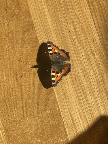
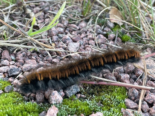
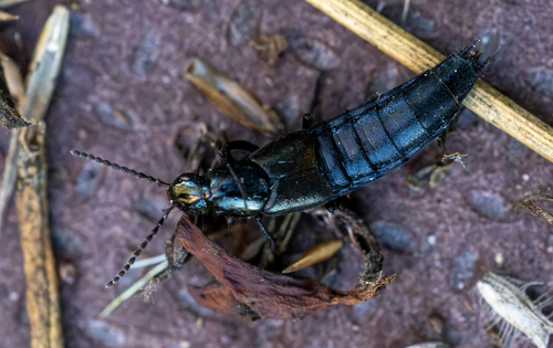
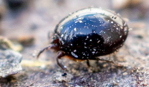
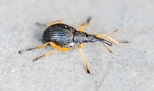
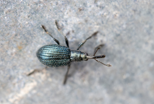
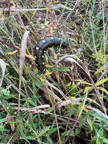
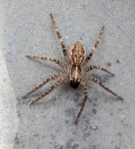
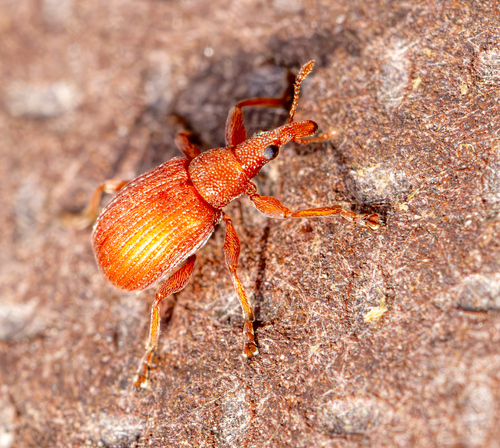
Research-grade observations from iNaturalist (within ~15 mi).
Events
Gallery
Sources
- • Wikipedia
- • Wikidata
- • USGS Earthquake Catalog (global feed)
- • GBIF (Global Biodiversity Information Facility)
- • iNaturalist
- • Wikidata SPARQL (CC0) — population, area, elevation, inception, head of government, Commons image