Browse / Finland / Northern Ostrobothnia / Sievi
Sievi
Northern Ostrobothniatown

Featured view
Sievi
Total population
5,270
Coordinates63.91°, 24.52°
Demographic figures from Statistics Finland. Overview below cites Wikipedia and may reference a different year.
Loading additional data from public sources…0 / 11
CensusWikipediaWeatherPlacesPeopleEnvironmentHealth & SchoolsRelatedGeography & CultureLive MonitoringEvents & Gallery
0% completeCity facts
Overview
Sievi is a municipality of Finland.
History & geography
Geography
Latitude
63.9083
Longitude
24.5160
Water area
—
Coordinates & boundaries from the US Census TIGER/Line shapefiles.
Climate
Air quality
Walkability
Amenities nearby
Wildlife & biodiversity
Observations (last 5 yrs, 10 mi)
11,061
Distinct species (top 10)
10
Most-observed species
- Common ChaffinchFringilla coelebs Linnaeus, 1758 · Aves342
- Willow WarblerPhylloscopus trochilus (Linnaeus, 1758) · Aves254
- Eurasian KestrelFalco tinnunculus Linnaeus, 1758 · Aves209
- Whooper SwanCygnus cygnus (Linnaeus, 1758) · Aves191
- RedwingTurdus iliacus Linnaeus, 1758 · Aves176
- Common CraneGrus grus (Linnaeus, 1758) · Aves166
- Northern LapwingVanellus vanellus (Linnaeus, 1758) · Aves165
- White WagtailMotacilla alba Linnaeus, 1758 · Aves147
Citizen-science & research observations from the Global Biodiversity Information Facility (GBIF).
Earthquake history
Quakes ≥ 2.5 (25 yrs, 62 mi)
0
Largest magnitude
—
Largest event
—
Events from the USGS Earthquake Catalog (global) (FDSN Event Web Service).
Photos
Sights & places nearby
Notable people from here
Nearby places in Northern Ostrobothnia
- Duboševica1265.2 mi away · pop. 393
- Topolje1266.5 mi away · pop. 287
- Batina1266.7 mi away · pop. 594
- Kneževo1268.5 mi away · pop. 485
- Branjina1269.6 mi away · pop. 223
- Podolje1269.8 mi away · pop. 88
- Zmajevac1270.4 mi away · pop. 544
- Popovac1271 mi away · pop. 738
- Branjin Vrh1272.1 mi away · pop. 764
- Šećerana1273 mi away · pop. 461
- Kamenac1273.3 mi away · pop. 129
- Šumarina1273.4 mi away · pop. 421
Geography & sun
Nearby airports
Public attention
Books about this place
Recent natural events nearby
Ground air-quality sensors
Recently spotted species
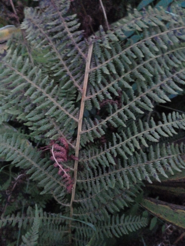
Common Lady Fern
Athyrium filix-femina
Seen 2026-09-20
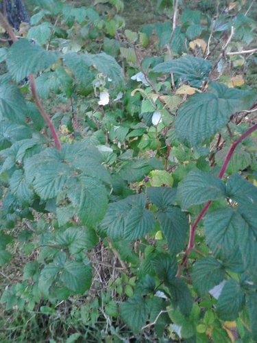
red raspberry
Rubus idaeus
Seen 2026-09-20
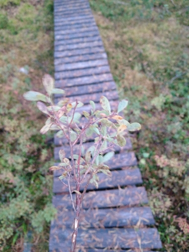
bog bilberry
Vaccinium uliginosum
Seen 2026-09-20
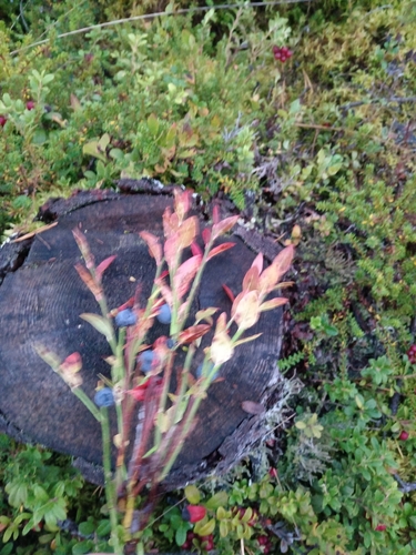
common bilberry
Vaccinium myrtillus
Seen 2026-09-20
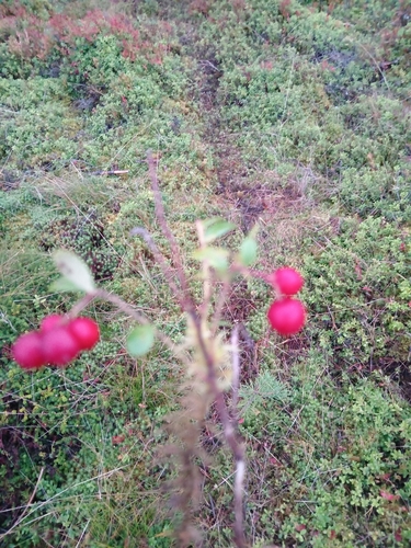
Lingonberry
Vaccinium vitis-idaea
Seen 2026-09-20
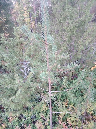
Scots pine
Pinus sylvestris
Seen 2026-09-20
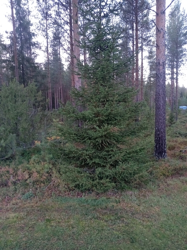
Norway spruce
Picea abies
Seen 2026-09-20
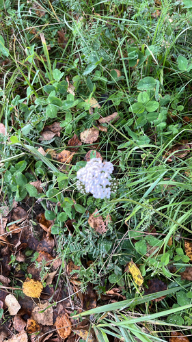
common yarrow
Achillea millefolium
Seen 2026-09-19
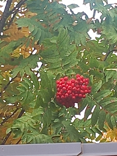
European mountain ash
Sorbus aucuparia
Seen 2026-09-18
Research-grade observations from iNaturalist (within ~15 mi).
Events
Gallery
Sources
- • Wikipedia
- • USGS Earthquake Catalog (global feed)
- • GBIF (Global Biodiversity Information Facility)
- • iNaturalist
- • Wikidata SPARQL (CC0) — population, area, elevation, inception, head of government, Commons image