Browse / Finland / Pirkanmaa / Suoniemi
Suoniemi
Pirkanmaavillage

Featured view
Suoniemi
Coordinates61.44°, 23.22°
Demographic figures from Statistics Finland. Overview below cites Wikipedia and may reference a different year.
Loading additional data from public sources…0 / 11
CensusWikipediaWeatherPlacesPeopleEnvironmentHealth & SchoolsRelatedGeography & CultureLive MonitoringEvents & Gallery
0% completeCity facts
Overview
Suoniemi is a former municipality of Finland in the former Turku and Pori Province, nowadays in the Pirkanmaa region. It was consolidated with Nokia in 1973, which was located in the Häme Province at the time.
History & geography
Geography
Latitude
61.4416
Longitude
23.2154
Water area
—
Coordinates & boundaries from the US Census TIGER/Line shapefiles.
Climate
Air quality
Walkability
Amenities nearby
Wildlife & biodiversity
Earthquake history
Photos
Sights & places nearby
Notable people from here
Nearby places in Pirkanmaa
Geography & sun
Avg solar (kWh/m²/day)
2.5
Annual solar (kWh/m²)
914
Elevation, sunrise/sunset and daylight from Open-Meteo. Solar climatology from NASA POWER.
Nearby airports
Public attention
Wikipedia views (last 30 days)
20
Avg daily Wikipedia views
1
Attention level
Obscure
Pageview totals from the Wikimedia Pageviews API.
Books about this place
Recent natural events nearby
Ground air-quality sensors
Recently spotted species
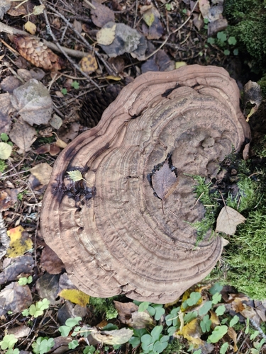
artist's bracket
Ganoderma applanatum
Seen 2026-09-19
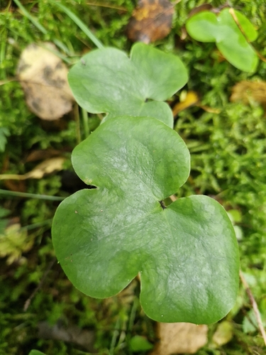
Liverleaf
Hepatica nobilis
Seen 2026-09-19
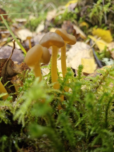
Ochre Jelly Club
Leotia lubrica
Seen 2026-09-19
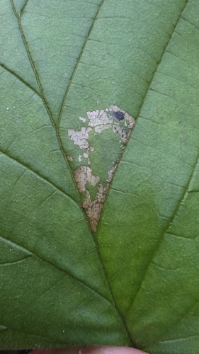
Hazel Slender
Parornix devoniella
Seen 2026-09-13
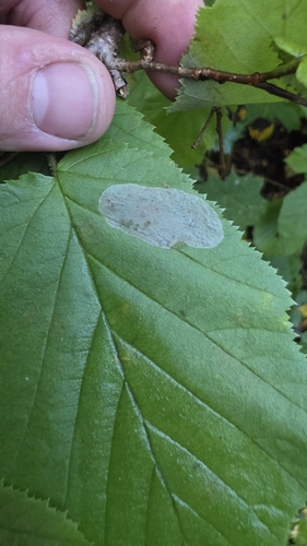
Nut Leaf Blister Moth
Phyllonorycter coryli
Seen 2026-09-13
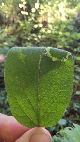
Large Midget
Phyllonorycter emberizaepenella
Seen 2026-09-13
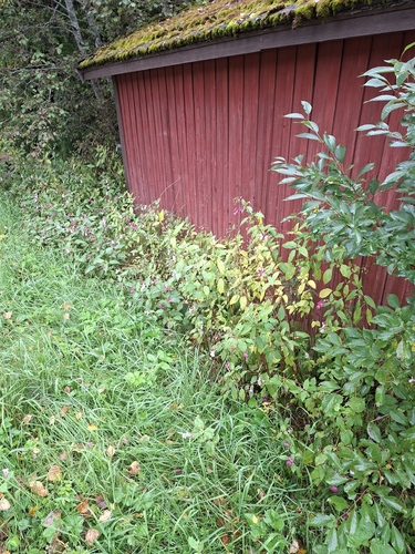
Himalayan balsam
Impatiens glandulifera
Seen 2026-09-12
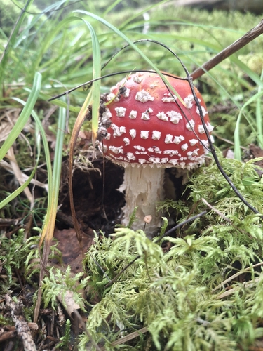
Fly Agaric
Amanita muscaria
Seen 2026-09-05
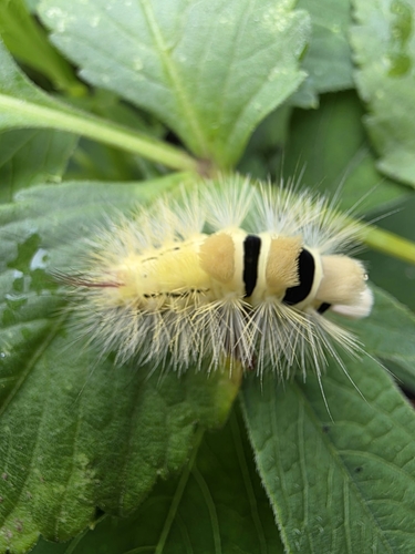
Pale Tussock Moth
Calliteara pudibunda
Seen 2026-08-30
Research-grade observations from iNaturalist (within ~15 mi).
Events
Gallery
Sources
- • Wikipedia
- • iNaturalist
- • Open-Meteo / sunrise-sunset.org
- • Wikipedia Pageviews API
- • Wikidata SPARQL (CC0) — population, area, elevation, inception, head of government, Commons image