Browse / Finland / Uusimaa / Tenala
Tenala
Uusimaatown

Featured view
Tenala
Land area443.6 km²
Coordinates60.06°, 23.30°
Demographic figures from Statistics Finland. Overview below cites Wikipedia and may reference a different year.
Loading additional data from public sources…0 / 11
CensusWikipediaWeatherPlacesPeopleEnvironmentHealth & SchoolsRelatedGeography & CultureLive MonitoringEvents & Gallery
0% completeCity facts
Area
443.6 km²
Facts from Wikidata (CC0).
Overview
Tenala is a former municipality in Uusimaa, Finland. It was neighboured by Hanko, Kisko, Perniö, Pohja, Särkisalo and Ekenäs. Most of the municipality of Bromarv was consolidated into Tenala in 1977.
Read more on WikipediaHistory & geography
Geography
Latitude
60.0577
Longitude
23.2991
Water area
—
Coordinates & boundaries from the US Census TIGER/Line shapefiles.
Climate
Air quality
Walkability
Amenities nearby
Wildlife & biodiversity
Earthquake history
Photos
Sights & places nearby
Notable people from here
Nearby places in Uusimaa
- Pippuri37.6 mi away
- Röykkä55 mi away
- Jelovice1076 mi away · pop. 17
- Vodice1076.2 mi away · pop. 16
- Dane1077.2 mi away · pop. 9
- Rašpor1078.7 mi away · pop. 3
- Klenovšćak1079 mi away · pop. 6
- Kropinjak1079.2 mi away · pop. 4
- Račja Vas1079.4 mi away · pop. 25
- Podgaće1080.3 mi away · pop. 52
- Krbavčići1080.4 mi away · pop. 58
- Perci1080.4 mi away · pop. 52
Geography & sun
Avg solar (kWh/m²/day)
2.6
Annual solar (kWh/m²)
950
Elevation, sunrise/sunset and daylight from Open-Meteo. Solar climatology from NASA POWER.
Nearby airports
Public attention
Wikipedia views (last 30 days)
119
Avg daily Wikipedia views
4
Attention level
Obscure
Pageview totals from the Wikimedia Pageviews API.
Books about this place
Recent natural events nearby
Ground air-quality sensors
Recently spotted species
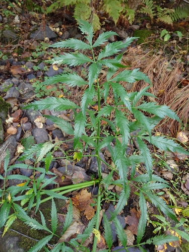
Cowbane
Cicuta virosa
Seen 2026-09-24
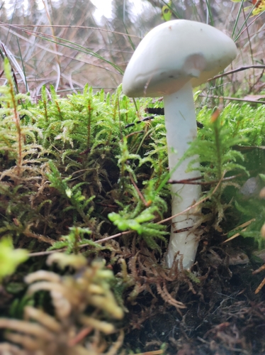
European Destroying Angel
Amanita virosa
Seen 2026-09-23
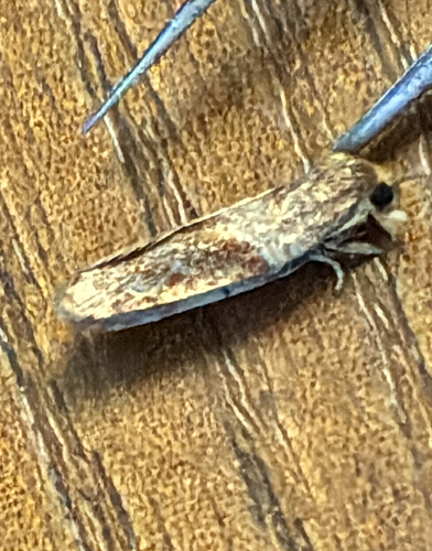
Dark-triangle Button
Acleris laterana
Seen 2026-09-23
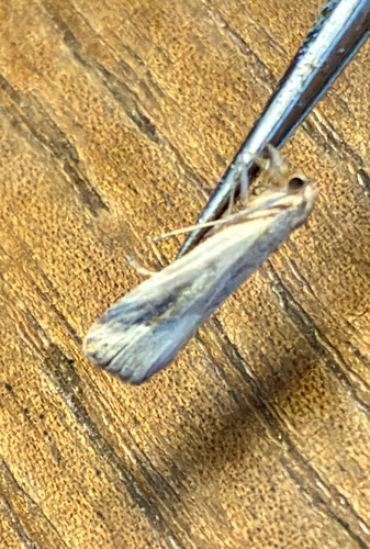
Pinion-streaked Snout
Schrankia costaestrigalis
Seen 2026-09-23
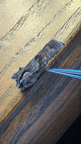
Conformist
Lithophane furcifera
Seen 2026-09-23
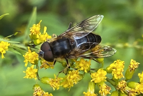
Tapered Drone Fly
Eristalis pertinax
Seen 2026-09-22
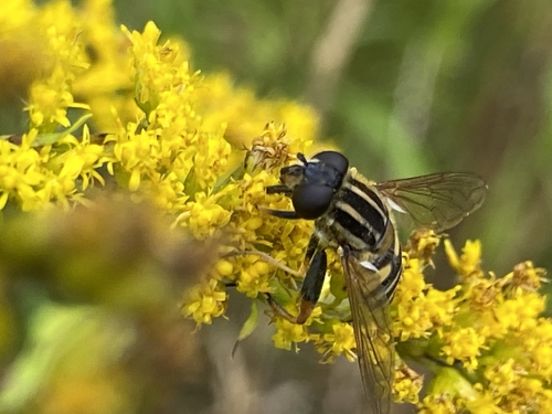
Sun Fly
Helophilus pendulus
Seen 2026-09-22
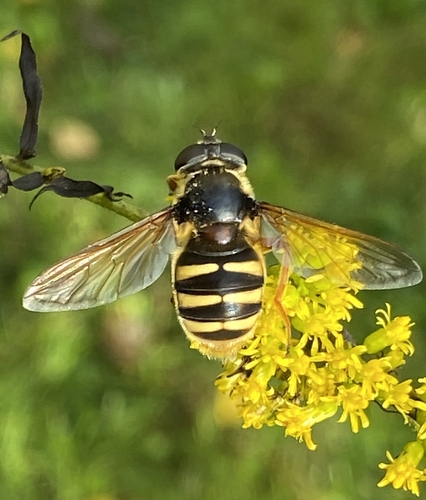
Yellow-barred Peat Hover Fly
Sericomyia silentis
Seen 2026-09-22
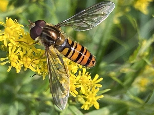
Marmalade Hover Fly
Episyrphus balteatus
Seen 2026-09-22
Research-grade observations from iNaturalist (within ~15 mi).
Events
Gallery
Sources
- • Wikipedia
- • Wikidata
- • iNaturalist
- • Open-Meteo / sunrise-sunset.org
- • Wikipedia Pageviews API
- • Wikidata SPARQL (CC0) — population, area, elevation, inception, head of government, Commons image