Browse / Finland / Southwest Finland / Turku
Turku
Southwest Finlandcity

Turku
Total population
209,809
Founded
1229
Demographic figures from Statistics Finland. Overview below cites Wikipedia and may reference a different year.
City facts
Sister cities
Facts from Wikidata (CC0).
Overview
Turku is a city in Finland and the regional capital of Southwest Finland. It is located on the southwestern coast of the country at the mouth of the River Aura. The population of Turku is approximately 210,000, while the metropolitan area has a population of around 320,000. It is the 6th–most populous municipality in Finland, and the third–most populous urban area in the country after Helsinki and Tampere.
Read more on WikipediaHistory & geography
History
Turku has a long history as Finland's largest city and occasionally as the administrative center of the country, but for the last two hundred years has been surpassed by Helsinki. The city's identity stems from its status as the oldest city in Finland and the country's first capital. Originally, the word "Finland" referred only to the area around Turku (hence the title, "Finland Proper" for the region). Settlement in the Turku area is relatively recent, for southwestern Finland remained below sea level for an extended period due to the Ice Age. Due to tectonic uplift, the Turku region transformed from an outlying archipelago to a shoreline during 3000-2000 BCE. The area was densely populated during the Iron Age as it was the most important agricultural region in the region. Ancient cemeteries dating from 550 to 1150 have been discovered in the region. Some cemeteries were utilized during the initial migratory phase, while some were solely utilized during the Viking Age, and others were established in the 12th century. There are also remains of houses and villages and old forts from the late Iron Age. According to legend, the English bishop Henry baptised the first Finns into Christianity in 1150. However, the first Christian graves date from the 10th and 11th centuries, and the first archaeological evidence of a church dates from the 12th century. In the 11th century, the Turku region began to develop as a port. Early literary sources such as Al-Idrisi's world map from 1154 mention Turku. According to the permission granted by Pope Gregory IX on 23 January 1229, There is nothing to suggest that the actual city of Turku still existed at this point; however, the city was not founded on uninhabited land, but there were fields and probably also a peasant village. Since…
Geography
Situated at the mouth of the Aura River in the south-western corner of Finland, Turku covers an area of on both banks of the river. The eastern side, where Turku Cathedral is located, is the older and original centre. It is popularly known as täl pual jokke ("this side of the river"). The western side, where Turku Castle is located, is the newer part. It is called tois pual jokke ("the other side of the river"). In modern times, both banks of the Aura River are equally the centre of the city. There are ten bridges over the Aura river in Turku. The oldest of the current bridges is , which was constructed in 1904. The newest bridge is ('library bridge'), a pedestrian-only bridge built in 2013. The Föri, a small ferry that transports pedestrians and bicycles across the river without payment, is a well-known feature of the city. The city is divided into 78 districts and nine wards. These do not operate as units of local government. However, some social programmes are district-based, especially in the eastern part of the city, where unemployment is high in some areas. The largest populated districts are Varissuo and Runosmäki. By area, Kakskerta and Paattinen are the largest districts. As many of the small neighbouring municipalities from the north and south of the city were annexed during the mid-20th century, Turku is today shaped like an elongated pear. The city centre and most of the suburban areas lie in the middle, separated from the less densely populated northern rural areas by the Turku bypass, that forms part of European route E18. Islands such as Ruissalo, Hirvensalo, Satava and Kakskerta, forming the southern part of the city, are also sparsely populated and mostly contain summer residences, with the exception of some districts in Hirvensalo which are…
Excerpted from the corresponding Wikipedia article (CC BY-SA).
Geography
Coordinates & boundaries from the US Census TIGER/Line shapefiles.
Climate
Air quality
Walkability
Amenities nearby
Wildlife & biodiversity
Earthquake history
Photos
Sights & places nearby
Notable people from here


People born within ~10 km, from Wikidata (CC0). Click any name for their Wikipedia article.
Nearby places in Southwest Finland
Geography & sun
Elevation, sunrise/sunset and daylight from Open-Meteo. Solar climatology from NASA POWER.
Nearby airports
Public attention
Pageview totals from the Wikimedia Pageviews API.
Books about Turku
Search results from Open Library.
Recent natural events nearby
Ground air-quality sensors
Recently spotted species
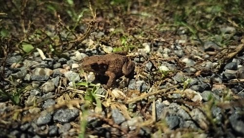
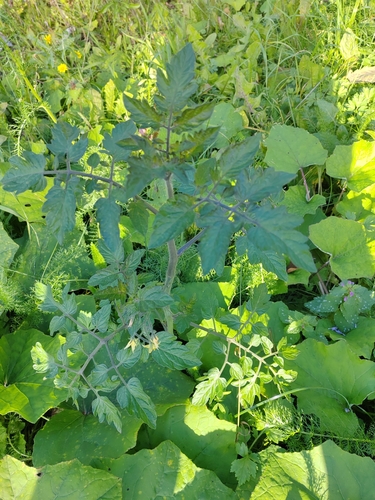
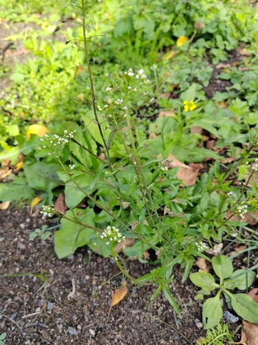
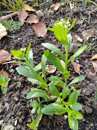
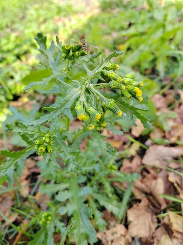
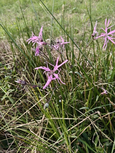
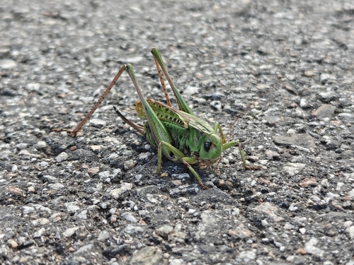
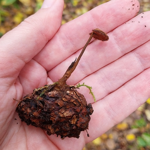
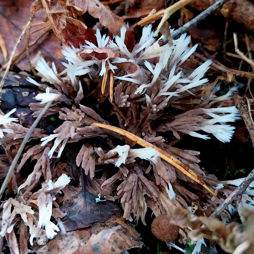
Research-grade observations from iNaturalist (within ~15 mi).
Events
Notable, recurring, and historical events associated with Turku, sourced from Wikidata.
- Q11898748recurring event
- Tall Ships' Races 2017 Turkuplanned event
- Tall Ships' Races Turku 2009planned event
- Tall Ships' Races Turku 2003planned event
- Turku Prideannual event
Source: Wikidata (CC0).
Gallery
Official Identifiers
Tilastokeskus — Statistics Finland
- Kuntanumero
- FITKU
- Population (Wikidata)
- 209,633
- Wikidata
- Q38511
Kuntanumero via Wikidata P1937
Sources
- • Wikipedia
- • Wikidata
- • iNaturalist
- • Open-Meteo / sunrise-sunset.org
- • Wikipedia Pageviews API
- • Open Library
- • Wikidata SPARQL (CC0) — population, area, elevation, inception, head of government, Commons image
- • Tilastokeskus — Statistics Finland — Kuntanumero via Wikidata P1937