Browse / Finland / Pirkanmaa / Urjala
Urjala
Pirkanmaatown

Urjala
Total population
4,646
Founded
1868
Demographic figures from Statistics Finland. Overview below cites Wikipedia and may reference a different year.
City facts
Facts from Wikidata (CC0).
Overview
Urjala is a municipality of Finland. It is part of the Pirkanmaa region, near the town of Forssa. The municipality has a population of 4,440 and covers an area of 505.37 square kilometres (195.12 sq mi) of which 30.16 km2 (11.64 sq mi) is water. The population density is 9.34 inhabitants per square kilometre (24.2/sq mi).
Read more on WikipediaHistory & geography
Geography
Coordinates & boundaries from the US Census TIGER/Line shapefiles.
Climate
Air quality
Walkability
Amenities nearby
Wildlife & biodiversity
Most-observed species
- Eurasian KestrelFalco tinnunculus Linnaeus, 1758 · Aves1,532
- Green-veined WhitePieris napi (Linnaeus, 1758) · Insecta725
- RingletAphantopus hyperantus (Linnaeus, 1758) · Insecta566
- Small TortoiseshellAglais urticae (Linnaeus, 1758) · Insecta495
- Great TitParus major Linnaeus, 1758 · Aves448
- Common ChaffinchFringilla coelebs Linnaeus, 1758 · Aves441
- MapAraschnia levana (Linnaeus, 1758) · Insecta407
- Eurasian Blue TitCyanistes caeruleus (Linnaeus, 1758) · Aves382
Citizen-science & research observations from the Global Biodiversity Information Facility (GBIF).
Earthquake history
Events from the USGS Earthquake Catalog (global) (FDSN Event Web Service).
Photos
Sights & places nearby
Notable people from here


People born within ~10 km, from Wikidata (CC0). Click any name for their Wikipedia article.
Nearby places in Pirkanmaa
Geography & sun
Elevation, sunrise/sunset and daylight from Open-Meteo. Solar climatology from NASA POWER.
Nearby airports
Public attention
Pageview totals from the Wikimedia Pageviews API.
Books about this place
Recent natural events nearby
Ground air-quality sensors
Recently spotted species
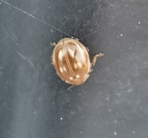
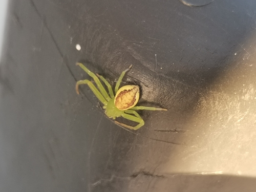
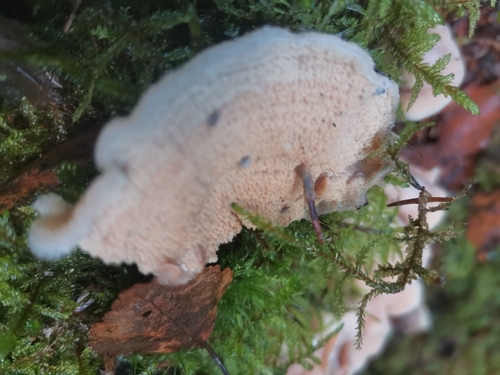
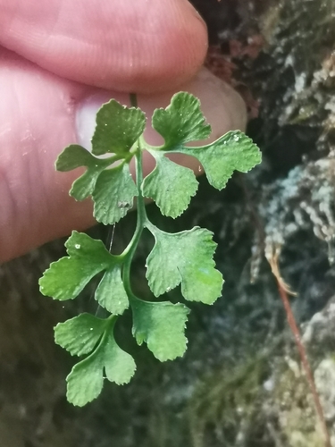
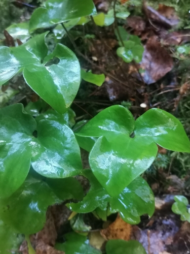
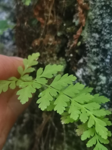
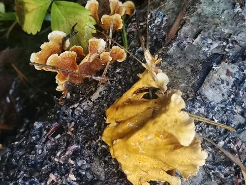
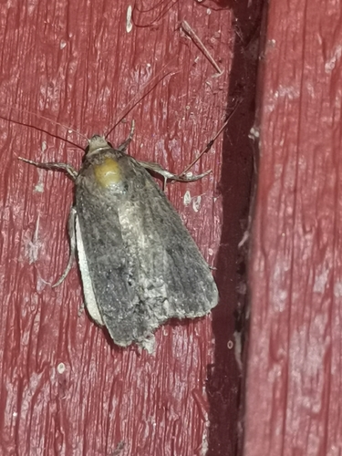
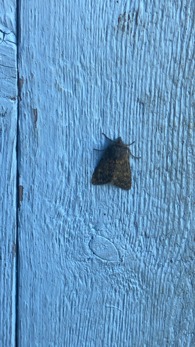
Research-grade observations from iNaturalist (within ~15 mi).
Events
Gallery
Sources
- • Wikipedia
- • Wikidata
- • USGS Earthquake Catalog (global feed)
- • GBIF (Global Biodiversity Information Facility)
- • iNaturalist
- • Open-Meteo / sunrise-sunset.org
- • Wikipedia Pageviews API
- • Wikidata SPARQL (CC0) — population, area, elevation, inception, head of government, Commons image