Browse / Finland / Ostrobothnia / Vaasa
Vaasa
Ostrobothniacity

Vaasa
Total population
71,209
Founded
1606
Demographic figures from Statistics Finland. Overview below cites Wikipedia and may reference a different year.
City facts
Sister cities
Facts from Wikidata (CC0).
Overview
Vaasa, formerly (1855–1917) known as Nikolaistad, is a city in Finland and the regional capital of Ostrobothnia, located on the west coast of the country, on the Gulf of Bothnia. Vaasa city has approximately 71,000 inhabitants, while the Vaasa sub-region has a population of approximately 112,000. It is the 14th-most populous municipality in Finland, and the tenth-most populous urban area in the country.
Read more on WikipediaHistory & geography
History
Over the years, Vaasa has changed its name several times. At first it was called or after the village where it was founded in 1606, but just a few years later the name was changed to Vasa to honor the royal Swedish lineage. The name Mustasaari (Finnish) or Korsholm (Swedish) remains in use as the designation for the surrounding rural municipality, which has encircled the city since 1973. Following the Russian Revolution in 1917, the City Council decided on 19 March 1917 to revert back to the earlier name Vaasa. The name was confirmed by the Senate on 18 October 1917. The history of Korsholm and also of Vaasa begins in the 14th century, when seafarers from the coastal region in central Sweden disembarked at the present Old Vaasa, and the wasteland owners from Southwest Finland came to guard their land. In the middle of the century, Saint Mary's Church was built, and in the 1370s the building of the fortress at Korsholm, Crysseborgh, was undertaken, and served as an administrative centre of the Vasa County. King Charles IX of Sweden founded the town of Mustasaari (Mussor) on 2 October 1606, around the oldest harbour and trade point around the Korsholm church approximately to the southeast from the present city. In 1611, the town was chartered and renamed after the Royal House of Vasa. Thanks to the sea connections, ship building and trade, especially tar trade, Vaasa flourished in the 17th century and most of the inhabitants earned their living from it. In 1683, the three-subject or Trivial school moved from Nykarleby to Vaasa, and four years later a new schoolhouse was built in Vaasa. The first library in Finland was founded in Vaasa in 1794. In 1793, Vaasa had 2,178 inhabitants, and in the year of the catastrophic town fire of 1852 the number had risen to…
Excerpted from the corresponding Wikipedia article (CC BY-SA).
Geography
Coordinates & boundaries from the US Census TIGER/Line shapefiles.
Climate
Air quality
Walkability
Amenities nearby
Wildlife & biodiversity
Most-observed species
- Great TitParus major Linnaeus, 1758 · Aves1,296
- Siberian Flying SquirrelPteromys volans (Linnaeus, 1758) · Mammalia972
- Common ChaffinchFringilla coelebs Linnaeus, 1758 · Aves866
- Eurasian Blue TitCyanistes caeruleus (Linnaeus, 1758) · Aves835
- Willow WarblerPhylloscopus trochilus (Linnaeus, 1758) · Aves800
- European GreenfinchChloris chloris (Linnaeus, 1758) · Aves776
- Reed BuntingEmberiza schoeniclus (Linnaeus, 1758) · Aves691
- Eurasian BullfinchPyrrhula pyrrhula (Linnaeus, 1758) · Aves644
Citizen-science & research observations from the Global Biodiversity Information Facility (GBIF).
Earthquake history
Events from the USGS Earthquake Catalog (global) (FDSN Event Web Service).
Photos
Sights & places nearby
Notable people from here


People born within ~10 km, from Wikidata (CC0). Click any name for their Wikipedia article.
Nearby places in Ostrobothnia
Geography & sun
Elevation, sunrise/sunset and daylight from Open-Meteo. Solar climatology from NASA POWER.
Nearby airports
Public attention
Pageview totals from the Wikimedia Pageviews API.
Books about this place
Recent natural events nearby
Ground air-quality sensors
Recently spotted species
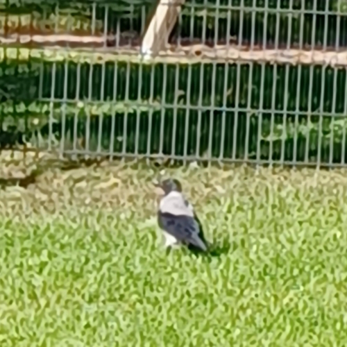
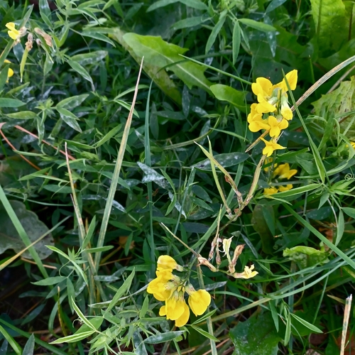
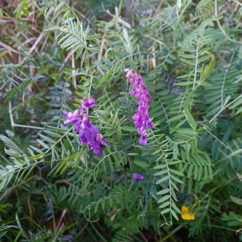
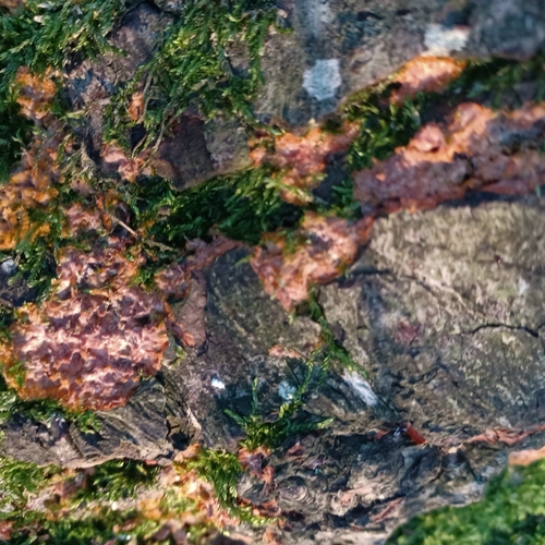
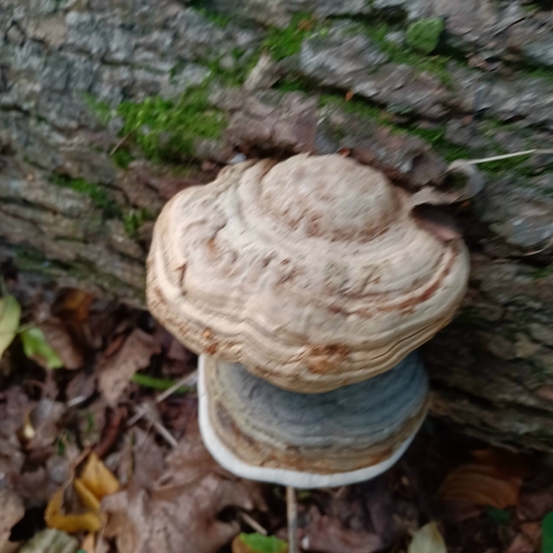
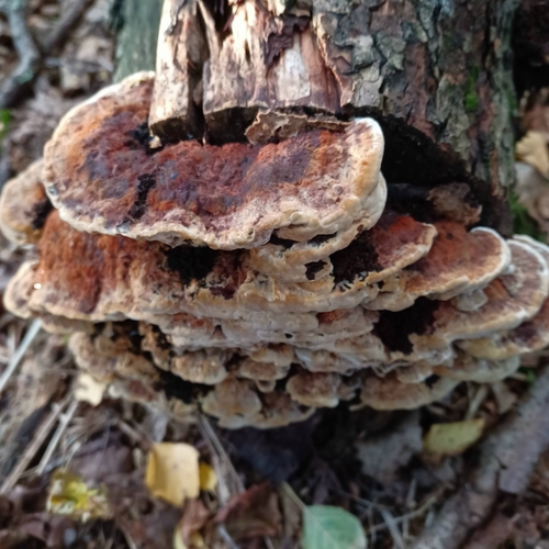
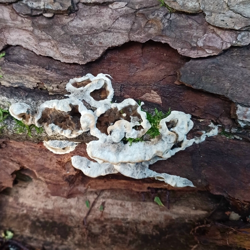
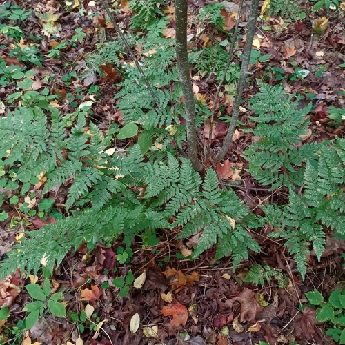
Research-grade observations from iNaturalist (within ~15 mi).
Events
Gallery
Sources
- • Wikipedia
- • Wikidata
- • USGS Earthquake Catalog (global feed)
- • GBIF (Global Biodiversity Information Facility)
- • iNaturalist
- • Open-Meteo / sunrise-sunset.org
- • Wikipedia Pageviews API
- • Wikidata SPARQL (CC0) — population, area, elevation, inception, head of government, Commons image