Browse / Finland / Satakunta / Vampula
Vampula
Satakuntavillage

Vampula
Total population
1,675
Demographic figures from Statistics Finland. Overview below cites Wikipedia and may reference a different year.
City facts
Overview
Vampula is a former municipality of Finland. It was consolidated with Huittinen on 1 January 2009.
Read more on WikipediaHistory & geography
History
A few discoveries of objects from the Stone Age have been made in the Vampula area. Farming started along Loimijoki already in the Iron Age, and by the 13th century at the latest, almost all of Vampula's major inhabited villages were recorded by the church authority. The first inhabitants arrived in the Vampula area probably from Huittinen, but the oldest church connections point to Säkylä. In 1590, four householders built a small log church at their own expense. This first sanctuary is used as a motif for the municipality's coat of arms, which depicts a cross and four nails as a metaphor for the builders. Vampula got its own municipal administration in 1867. The first public school opened in Sallila village in 1878, and was followed by schools in Soinila (1897), Kukonharjan-Murro (1910) and Huhtaa (1915). The Finnish senate made a decision to establish Vampula congregation in 1891, but independence from Huittinen was only realized in 1900.
Excerpted from the corresponding Wikipedia article (CC BY-SA).
Geography
Coordinates & boundaries from the US Census TIGER/Line shapefiles.
Climate
Air quality
Walkability
Amenities nearby
Wildlife & biodiversity
Earthquake history
Photos
Sights & places nearby
Notable people from here
Nearby places in Satakunta
Geography & sun
Elevation, sunrise/sunset and daylight from Open-Meteo. Solar climatology from NASA POWER.
Nearby airports
Public attention
Pageview totals from the Wikimedia Pageviews API.
Books about this place
Recent natural events nearby
Ground air-quality sensors
Recently spotted species
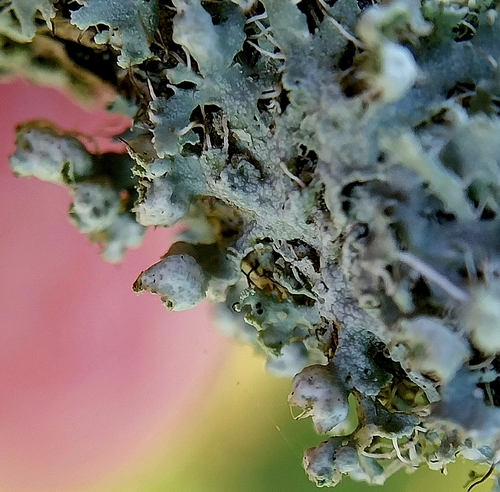
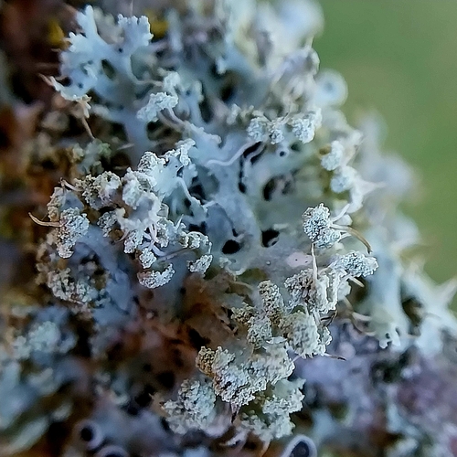
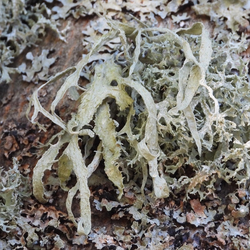
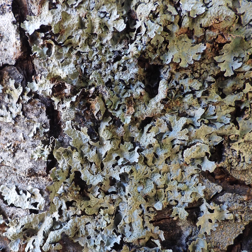
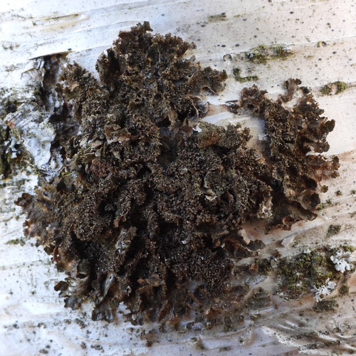
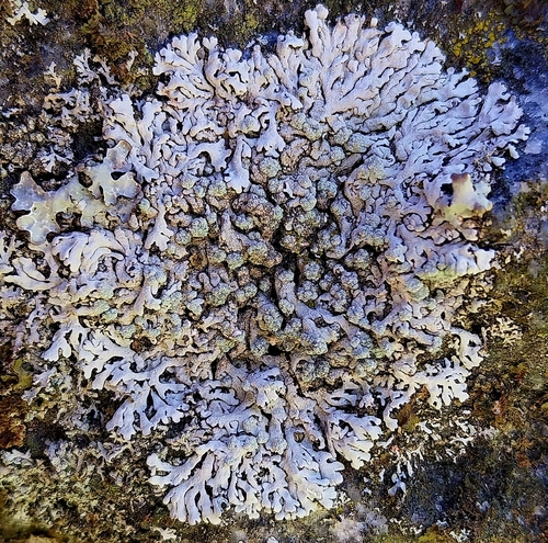
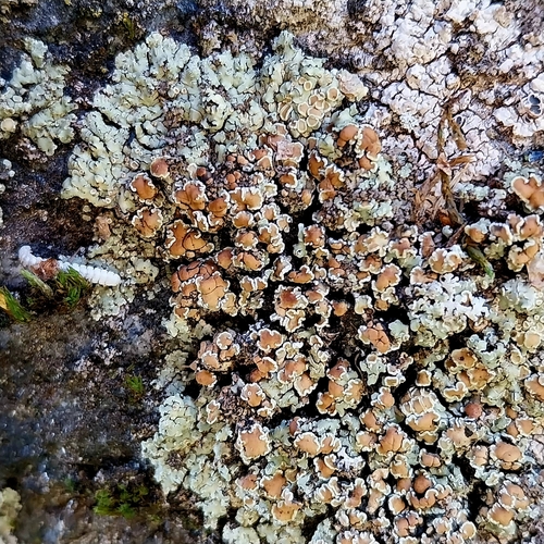
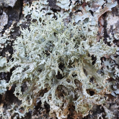
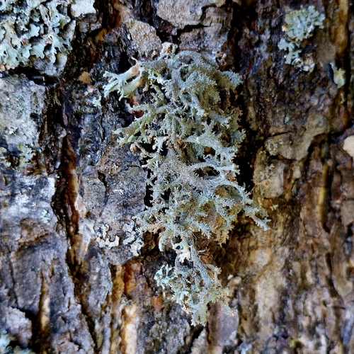
Research-grade observations from iNaturalist (within ~15 mi).
Events
Gallery
Sources
- • Wikipedia
- • iNaturalist
- • Open-Meteo / sunrise-sunset.org
- • Wikipedia Pageviews API
- • Wikidata SPARQL (CC0) — population, area, elevation, inception, head of government, Commons image