Browse / Finland / Central Finland / Vesanka
Vesanka
Central Finlandvillage

Vesanka
Total population
1,300
Demographic figures from Statistics Finland. Overview below cites Wikipedia and may reference a different year.
City facts
Overview
Vesanka is a village and a district of the city of Jyväskylä, in Central Finland. Before 1 January 2009, it was one of the villages of Jyväskylän maalaiskunta. It is located in the far western part of Jyväskylä near its borders with Petäjävesi, Muurame and, until 31 December 2008, Korpilahti.
Read more on WikipediaHistory & geography
History
Before the spread of modern settlement into the area, the lands of Vesanka were hunting grounds of Saarioinen (approximately modern Akaa and southern Sääksmäki). In the early 16th century, the lands surrounding the lake Vesankajärvi were held by Tapani Matinpoika from the village of Saari, while the Lamsinsalmi area around the lake Iso-Lampsi was held by Olavi Pauhari from modern Urjala. The first recorded settler in Vesanka was Antti Soikkanen, who was first mentioned as an inhabitant of the area in 1559. Three other settlers had arrived by 1564: Antti Siekkinen, Heikki Pietiläinen and Lauri Pörsöinen. As a village, Vesanka is first mentioned in 1561 as vesangaerffui (Vesankajärvi). Vesanka was a part of either the parish of Jämsä or Rautalampi until Laukaa was separated from Rautalampi, after which the villages of the Jyväskylä area were transferred to it. The transfer was made permanent in 1646. Jyväskylä became an independent parish in 1856. In 1868, Jyväskylän maalaiskunta was established, with Vesanka becoming one of its villages. The borders of Vesanka were demarcated during the Great Partition. Initially, a pond named Rummakkolampi on the modern border between Jyväskylä and Uurainen was designated as the northernmost point of Vesanka. This changed in the 1830s, as the new settlement at Sikomäki was transferred to the register village of Nyrölä. A metal workshop was established by the Kuohunkoski rapids in 1878 in the area that would later be known as Kuohu. However, the most important industrial enterprise was a sawmill established in the 1920s, purchased by the company Toras Oy from Suojärvi after Suojärvi was occupied by and ceded to the Soviet Union in the 1940s. There were plans to expand Vesanka in the 1970s into a built-up area comparable to Tikkakoski…
Geography
The district of Vesanka borders Varsalanperä in the north, Rippalanmäki, Ruoke and Valkeamäki in the east, Hanhiperä in the southeast, Isolahti (Muurame) in the south and Kuohu in the west. The village itself is mainly located on the shores of the lake Vesankajärvi, the ninth largest lake in Jyväskylä. The register village (, an official village) of Vesanka also included Kuohu, Varsalanperä, Humalamäki, Vertaala and western Saarenmaa, but not Perälä, which was a part of Keljo instead.
Excerpted from the corresponding Wikipedia article (CC BY-SA).
Geography
Coordinates & boundaries from the US Census TIGER/Line shapefiles.
Climate
Air quality
Walkability
Amenities nearby
Wildlife & biodiversity
Earthquake history
Photos
Sights & places nearby
Notable people from here


People born within ~10 km, from Wikidata (CC0). Click any name for their Wikipedia article.
Geography & sun
Elevation, sunrise/sunset and daylight from Open-Meteo. Solar climatology from NASA POWER.
Nearby airports
Public attention
Pageview totals from the Wikimedia Pageviews API.
Books about this place
Recent natural events nearby
Ground air-quality sensors
Recently spotted species
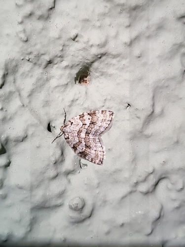
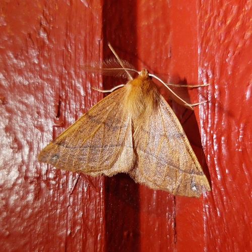
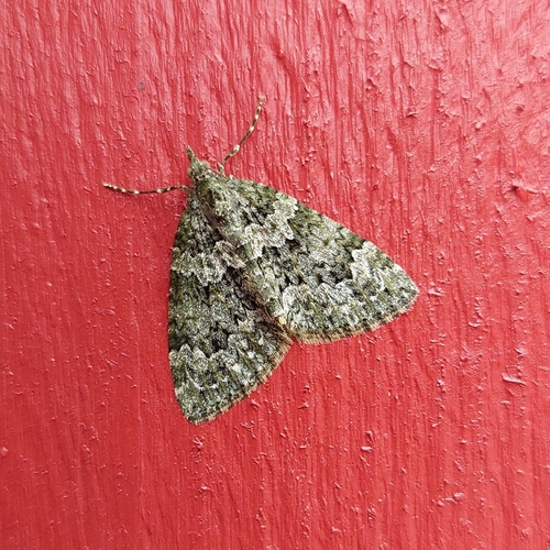
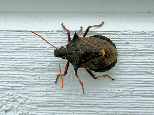
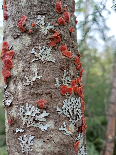
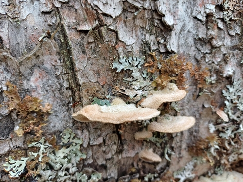
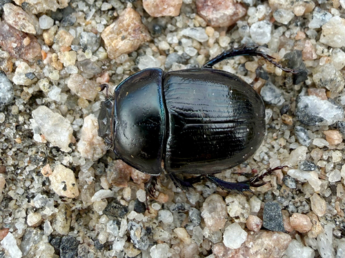
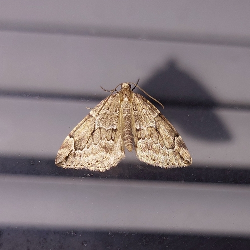
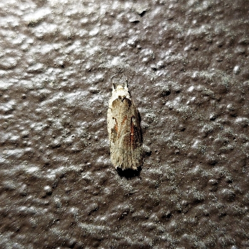
Research-grade observations from iNaturalist (within ~15 mi).
Events
Gallery
Sources
- • Wikipedia
- • Wikidata
- • iNaturalist
- • Open-Meteo / sunrise-sunset.org
- • Wikipedia Pageviews API
- • Wikidata SPARQL (CC0) — population, area, elevation, inception, head of government, Commons image